
Forest Carbon Measurements
Forest Carbon is a cutting-edge geospatial dataset providing accurate, high-resolution estimates of aboveground carbon, tree height, and canopy cover. By fusing satellite observations from PlanetScope, Sentinel-2, and NASA`s GEDI LiDAR, it offers unmatched visibility into forest dynamics - from large-scale portfolio assessments to detailed tree-level monitoring. The 30m 'Diligence' resolution is ideal for long-term trend analysis, while the 3m 'Monitoring' resolution delivers quarterly updates for real-time tracking of forest change. With a scalable, cost-effective approach, Forest Carbon empowers organizations to quantify carbon stocks, monitor deforestation, and verify reforestation projects anywhere on Earth.
Carbon Accounting:
- Quantify carbon stocks across global forests.
- Track carbon loss from deforestation events.
- Validate carbon offset projects with reliable data.
Forest Monitoring:
- Detect illegal logging in protected areas.
- Track canopy height changes over time.
- Identify reforestation success with high accuracy.
Supply Chain Risk:
- Monitor deforestation in sourcing regions.
- Ensure compliance with sustainability regulations.
- Identify land use changes impacting resources.
Wildfire Assessment:
- Map burn areas with high-resolution data.
- Measure canopy recovery after fire events.
- Assess wildfire risk in vulnerable regions.
SkyFi integrates diverse geospatial data sources to give you the most up-to-date, detailed understanding of the landscapes shaping our future.
Industries
From agriculture to urban planning, environmental monitoring to disaster response, our platform provides essential data for informed decision-making across various sectors.
Swipe to see more
25.00 km
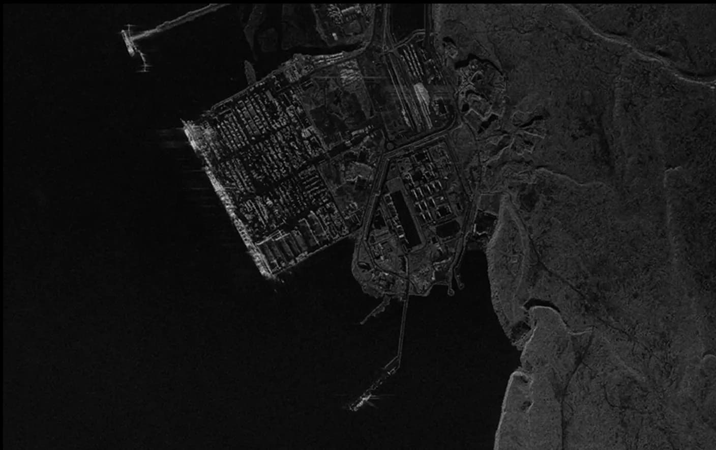
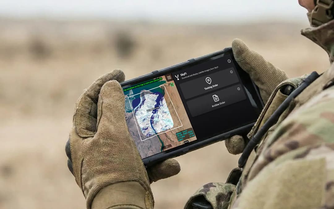
Military & Defense
Defense and security teams use SkyFi to turn satellite imagery and multi-domain sensor data into trusted operational intelligence. Access 150+ satellite sources, apply AI-enabled analytics, and deliver high-fidelity insights directly into COP systems and ATAK for faster, mission-ready decision-making.
Learn More