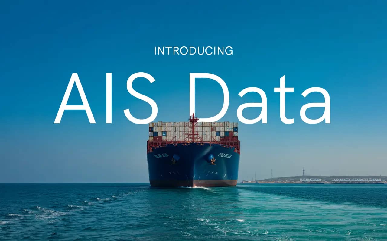
AIS is Now Available on SkyFi
Global vessel tracking is now live on the SkyFi platform. You can order AIS (Automatic Identification System) data for any area in the world, for any date—past or present. This includes satellite-collected data over oceans, coastal receiver data near shorelines, and ship-mounted receivers in congested shipping zones, all delivered in one simple product.
Try SkyFi AIS today by selecting an area and date in the app. No subscription or long-term commitment required.
What Is AIS and Why It’s Useful
AIS is a radio-based system used by ships to broadcast their identity, position, speed, heading, and other details. It was originally designed for collision avoidance but has become essential for maritime tracking across a range of industries.
The AIS data available on SkyFi combines multiple sources of AIS data, so you can see vessel activity even in remote oceans and busy sea lanes where signals are often dropped or missed. This includes:
Satellite AIS: Broad ocean coverage, including polar regions
Terrestrial AIS: Data collected from coastal receivers within ~40 nautical miles of land
Ship-based AIS: Signals captured by ships equipped with receivers in high-traffic zones
These three sources are merged and cleaned so you get one stream of reliable data with minimal duplication or noise.
Use Cases by Industry
SkyFi AIS is a tool for maritime professionals, analysts, researchers, and operators across sectors. Some of the most common uses include:
Defense and Intelligence
Government and defense users rely on AIS to monitor exclusive economic zones (EEZs), detect IUU (illegal, unreported, unregulated) fishing, and follow suspect vessels. With historical archives going back to 2011, AIS is used to build long-term patterns of behavior and support investigations. Real-time options, with latencies under 20 seconds, are also available for operations that require constant tracking.
Commodities and Trade
Traders and analysts track tankers, bulk carriers, and container ships to understand global flows. AIS provides visibility into how many vessels are on the move, where they’re headed, and whether routes or behaviors are changing. This can be used to monitor congestion, shifts in commodity exports, or the arrival of key cargo.
Ports and Shipping
Port authorities, tug operators, and freight companies use AIS to manage traffic, optimize scheduling, and anticipate delays. By using near real-time updates, they can monitor approaching vessels, detect route changes, and respond to shifting conditions without relying solely on local receiver networks.
Environment and Compliance
AIS can be used to audit vessel behavior near marine protected areas, track dark fleet operations, and enforce restricted zones. Combined with optical imagery, SkyFi AIS can help determine whether a ship entered a zone it shouldn’t or went dark to avoid detection.
Flexible Access and Delivery
SkyFi AIS is available on-demand. You can order data for a specific port, sea lane, or region for a single day, a range of days, or a longer time window.
Most AIS providers require long-term contracts or global licenses. With SkyFi, you only pay for the data you need, nothing more.
Delivery options include:
Downloadable data files (JSON, NMEA, CSV)
Access via REST API or GIS services (WMS/WFS)
Historical archive pulls
Live or near-real-time feeds (depending on selection)
You can also view data directly in the SkyFi app or integrate it into your own tools using our developer options.
How It Works
Select your area of interest in the SkyFi app. Choose a date range. The platform will return available data, and you can download or stream it directly. Pricing is based on the size of the area and the number of vessels active during that time, not on a flat global rate.
Whether you need just a snapshot for a single port or long-term access to vessel movements across the Indian Ocean, you can order what you need and nothing more.
Start now. Choose your area, pick a date, and get access to AIS in minutes.