AIS Marine Traffic: A Comprehensive Guide to Navigating Modern Maritime Technology
TL;DR (Too Long; Didn’t Read)
AIS Marine Traffic is a real-time vessel tracking system utilizing the Automatic Identification System (AIS) to enhance maritime navigation and safety.
It provides vital data on vessel positions, speed, and routes, improving efficiency and safety at sea.
Platforms like MarineTraffic, VesselFinder, and MyShipTracking use AIS data to deliver detailed vessel tracking tools.
This guide explores how AIS Marine Traffic works, its importance, users, challenges, and future trends shaping this technology.
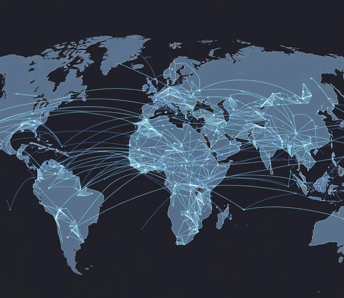
Discover how AIS Marine Traffic intersects with advancements in geospatial technology and Earth observation.
What is AIS Marine Traffic?
AIS Marine Traffic refers to the system that tracks vessels in real time using the Automatic Identification System (AIS). AIS is a maritime communication tool that broadcasts vessel information, such as identity, position, speed, and destination, through VHF radio signals. Developed to improve safety and efficiency, AIS allows ships to “see” one another and interact with monitoring stations, even in remote locations or poor weather conditions.
The system serves as a cornerstone of modern maritime navigation, providing stakeholders with critical insights into vessel movements. Platforms like MarineTraffic and VesselFinder utilize this data to create interactive maps and tracking tools accessible to anyone. AIS Marine Traffic has transformed the way maritime operations are managed, making real-time data accessible for improving safety and decision-making.
How Does AIS Marine Traffic Work?
AIS Marine Traffic relies on transponders installed on vessels that continuously broadcast information over VHF radio frequencies. This data includes details such as vessel identity, coordinates, heading, and speed. Shore-based AIS receivers capture these signals near coastlines, while satellite-based systems extend coverage to open seas.
Once collected, the data is processed and visualized on platforms like MyShipTracking. These platforms present information in user-friendly formats, such as interactive maps, enabling seamless tracking of global maritime traffic. Satellite-based AIS ensures uninterrupted data even in remote ocean regions, providing robust coverage for maritime professionals and enthusiasts alike.
This integration of terrestrial and satellite systems makes AIS Marine Traffic a reliable source of real-time information for a wide range of applications, from fleet management to environmental monitoring.
Why is AIS Marine Traffic Important?
AIS Marine Traffic plays a pivotal role in ensuring maritime safety, operational efficiency, and environmental conservation. It significantly reduces the risk of collisions by providing real-time situational awareness, especially in congested waterways. For port authorities, AIS data streamlines vessel scheduling and docking operations, reducing delays and maximizing throughput.
The system also supports search-and-rescue missions, offering precise location data for distressed vessels. Environmental benefits include optimized routing that lowers fuel consumption and greenhouse gas emissions. By combining AIS Marine Traffic with advanced geospatial technologies, stakeholders can make informed decisions, enhancing overall maritime sustainability and productivity.
Who Uses AIS Marine Traffic?
AIS Marine Traffic is utilized by a diverse range of stakeholders in the maritime industry. Commercial shipping companies depend on AIS data to monitor fleets, optimize operations, and ensure compliance with international regulations. Port authorities leverage it to manage vessel traffic efficiently, reducing congestion and improving safety.
Private vessel owners benefit from real-time tracking and navigational insights, while researchers use AIS data to study shipping patterns and environmental impacts. Government agencies and regulatory bodies rely on AIS Marine Traffic for surveillance and enforcement of maritime laws. The system’s versatility makes it a valuable tool for professionals, hobbyists, and policymakers alike.
How Can Readers Access AIS Marine Traffic Information?
Accessing AIS Marine Traffic data has become increasingly straightforward through platforms like MarineTraffic, VesselFinder, and MyShipTracking. These platforms provide users with real-time vessel tracking, historical data, and customizable alerts. Basic features, such as live maps, are often free, while premium subscriptions unlock advanced capabilities, including route histories and predictive analytics.
Each platform caters to specific needs. MarineTraffic is known for its extensive global coverage and user-friendly interface, while VesselFinder focuses on fleet monitoring. MyShipTracking offers a balance of features for both professionals and casual users. Selecting the right platform depends on the user’s requirements, whether for logistical operations or recreational purposes.
What Are the Limitations or Challenges of AIS Marine Traffic?
Despite its advantages, AIS Marine Traffic has limitations that users must consider. Data accuracy can be a challenge, as some smaller vessels are not required to carry AIS transponders, leading to gaps in coverage. Additionally, signals can sometimes be interrupted or incomplete, especially in areas with limited infrastructure.
Coverage gaps, particularly in remote regions, pose another challenge. While satellite-based AIS systems address this issue, they are not entirely immune to technical limitations. Cybersecurity concerns also arise, as AIS data can potentially be misused if not adequately protected.
To mitigate these challenges, organizations often integrate AIS data with other geospatial technologies, creating comprehensive systems that enhance reliability and functionality. Addressing these issues ensures AIS Marine Traffic remains a critical tool for maritime operations.
How Can Readers Make the Most of AIS Marine Traffic Systems?
Maximizing the benefits of AIS Marine Traffic requires strategic use of its features. Custom alerts can be set up for specific vessels or regions, providing timely updates without the need for constant monitoring. Analyzing historical AIS data can uncover trends that aid in long-term planning and operational optimization.
Integrating AIS with other technologies, such as logistics software or environmental monitoring tools, enhances its utility. For maritime professionals, combining AIS data with geospatial insights creates a holistic view of vessel movements and environmental impacts. Users are encouraged to explore the advanced features of AIS platforms, tailoring their applications to meet specific goals and challenges.
What Trends Are Shaping the Future of AIS Marine Traffic?
The future of AIS Marine Traffic is being shaped by advancements in technology and regulatory developments. Satellite-based AIS systems are becoming increasingly sophisticated, offering near-global coverage and improved data reliability. Artificial intelligence and machine learning are being integrated into AIS platforms to provide predictive analytics, enabling more proactive decision-making.
Sustainability is another key trend. AIS is being used to monitor emissions and optimize shipping routes, aligning with global efforts to reduce the environmental impact of maritime activities. The rise of autonomous vessels also highlights the importance of AIS, as these ships rely heavily on accurate real-time data.
As technology evolves, AIS Marine Traffic will continue to play a central role in shaping the future of maritime operations, balancing safety, efficiency, and environmental stewardship.
What Is the Environmental Impact of AIS Marine Traffic?
AIS Marine Traffic contributes to environmental conservation by promoting efficient vessel routing, which reduces fuel consumption and greenhouse gas emissions. Optimized routes help shipping companies save costs while aligning with sustainability goals. Additionally, AIS data is used to monitor compliance with regulations in marine protected areas, preventing environmental degradation.
The integration of AIS with geospatial technologies enhances its utility for environmental monitoring. For instance, combining AIS data with satellite imagery enables the identification of unauthorized fishing or shipping activities in sensitive ecosystems. These capabilities make AIS Marine Traffic an indispensable tool for balancing maritime activity with ecological preservation.
What Resources or Tools Can Help Readers Learn More About AIS Marine Traffic?
Several resources and tools are available for those seeking to deepen their understanding of AIS Marine Traffic. Platforms such as MarineTraffic, VesselFinder, and MyShipTracking offer intuitive interfaces for tracking vessels and analyzing data. Each platform provides unique features, allowing users to select the one that best meets their needs.
Educational opportunities, including online courses and industry webinars, provide detailed insights into AIS systems and their applications. Official resources, such as guidelines from the International Maritime Organization (IMO), offer valuable information on regulatory requirements and best practices. Combining these resources with practical exploration of AIS platforms ensures users can harness the full potential of AIS Marine Traffic.
AIS Marine Traffic is a cornerstone of modern maritime operations, offering critical insights that enhance safety, efficiency, and sustainability. Its applications range from collision prevention to environmental conservation, making it an essential tool for diverse stakeholders. By leveraging advanced platforms and staying informed about emerging trends, users can maximize the benefits of AIS Marine Traffic and contribute to the ongoing evolution of the maritime industry.
This guide underscores the importance of AIS Marine Traffic as an indispensable resource for navigating the complexities of global maritime activities.