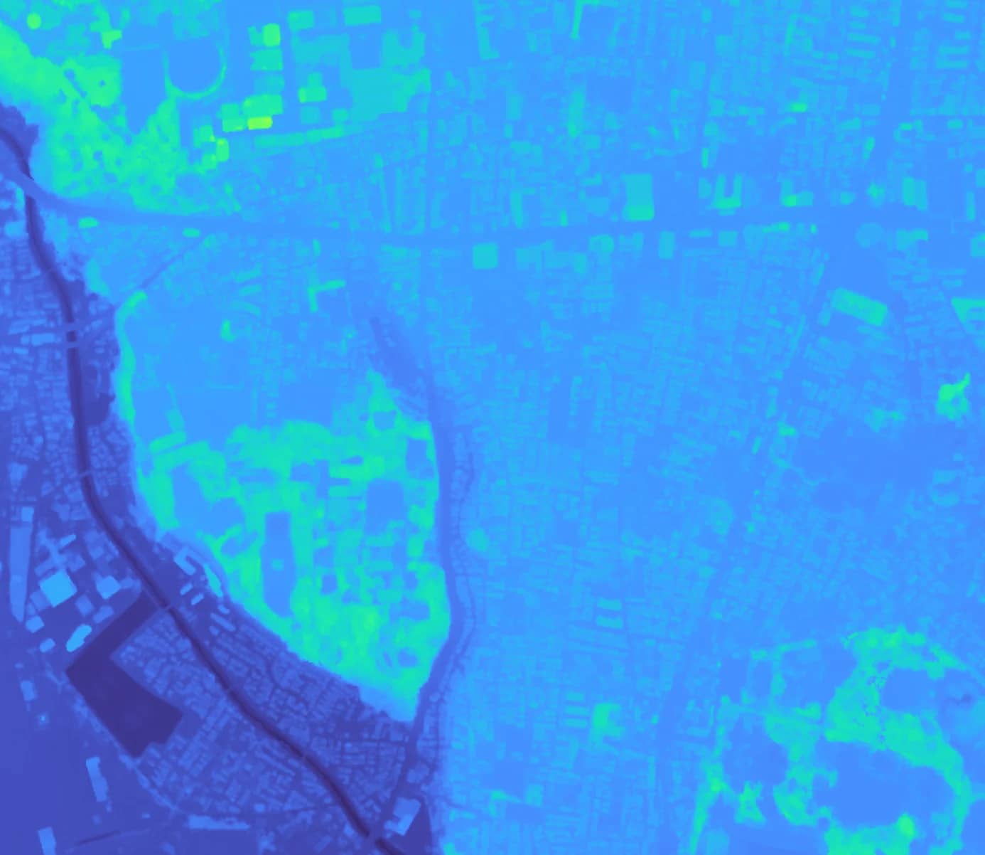
Discovering the Power of Digital Elevation Models
Imagine standing on the peak of a mountain, capturing every detail of the valleys, rivers, and hills around you. Now, envision doing this with the precision of a satellite, obtaining a three-dimensional view of any part of our planet. This capability is central to our Digital Surface Models (DSMs), a specific type of Digital Elevation Model (DEM). DSMs are available today on the SkyFi platform. DSMs provide unparalleled detail by including both natural terrain and man-made structures. As we continue to expand our analytics library, more advanced products like these will become available, broadening the possibilities for sectors ranging from energy resource management to wind power planning.
Before diving in, let's explore a few key points related to this issue.
What is an elevation grid?
An elevation grid is a digital construct created from various sources of elevation data, including 3D vectors, lidar, point clouds, and 3D model features. These grids represent the Earth's surface topography and are essential for creating detailed maps.
What is the DEM elevation model?
A Digital Elevation Model (DEM) is a digital representation of the Earth's bare ground surface, excluding objects like trees and buildings. DEMs are typically generated from multiple data sources, historically derived from topographic maps.
A significant advancement in DEM technology is the Cloud Optimized GeoTIFF (COG). COGs enhance efficiency and storage by allowing users to access only the necessary data sections, which is especially beneficial for managing large datasets.
What is grid modeling?
Grid modeling refers to the simulation of electric power system behavior to understand the impacts of variability and uncertainty on power operations. These models help researchers and engineers optimize the performance and reliability of power grids.
What is the difference between TIN and DEM?
A Triangulated Irregular Network (TIN) is created by interpolating measured elevation values and consists of various-sized facets depending on data density. Unlike the uniform grid of a DEM, TINs provide a more detailed terrain representation but are more complex and time-consuming to produce.
How can SkyFi help in Elevation modeling for energy grids?
SkyFi enhances elevation modeling for energy grids by providing precise topographic models, continuous monitoring, and risk assessment using advanced satellite imagery and analytics. These models assist in site selection, infrastructure planning, and maintenance by identifying optimal locations and detecting vegetation encroachment.
Additionally, SkyFi aids in disaster preparedness and post-disaster recovery by assessing risks and damage, ensuring infrastructure resilience. It also supports renewable energy projects by optimizing the placement of solar panels and wind turbines based on terrain data.
SkyFi offers user-friendly access to real-time and historical data, customizable imagery, and comprehensive analytics to drive efficiency and safety in energy grid operations
Improving Energy Resource Management
The energy sector, particularly in shale plays, has benefited significantly from high-resolution imagery and DEMs. Technologies like hydraulic fracturing and horizontal drilling have opened new market opportunities but also introduced unique challenges. High-resolution aerial images and DEMs streamline site selection, reduce the frequency of field visits, and optimize well pad construction.
For example, a mid-sized international oil and gas company utilized DEMs to expedite site construction and drilling. The precise topographic data facilitated better planning, cutting costs and enhancing productivity. The investment in high-resolution imagery was quickly recouped through savings from reduced field visits and optimized construction processes.
Planning for Wind Power Efficiency
In the wind power industry, accurate terrain data is crucial for turbine placement. Elevation data aids in developing project siting plans and preconstruction presentations, determining the optimal locations for wind farms. The vertical accuracy of DEMs is critical in this process.
For instance, Intermap Technologies' IFSAR-derived NEXTMap dataset provides detailed topographic information vital for optimizing turbine placement. Even minor elevation differences can significantly impact wind conditions and energy production.
The SkyFi Advantage
At SkyFi, we aim to make advanced geospatial technology accessible. Our platform integrates high-quality satellite imagery with analytics, providing detailed DEMs and other geospatial data. Whether you're involved in energy resource management, wind power planning, or any other field requiring precise topographic data, SkyFi offers a user-friendly, cost-effective solution.
Using DEMs and our suite of geospatial tools, you can gain valuable insights, improve operational efficiency, and make informed decisions confidently. SkyFi remains your trusted partner in navigating the complexities of our dynamic planet.
Learn more by visiting SkyFi Analytics.