Earth from Space in High Resolution: A Personal Perspective
Update (October 2025): Maxar Intelligence has officially rebranded as Vantor. All references to “Maxar” in this article now refer to Vantor, which continues to provide the same gold-standard satellite imagery, basemaps, and 3D terrain data trusted worldwide.
Read more about the rebrand: Maxar Rebrands as Vantor and Lanteris — What to Know
TL;DR
Explore the significance of earth from space high resolution imagery.
Understand the technology behind capturing detailed views of Earth from orbit.
Discover the transformative applications in environmental monitoring, urban planning, and disaster management.
Learn how businesses and individuals can access this technology.
Dive into the future advancements in high-resolution satellite imaging.
Earth from Space in High Resolution: A Comprehensive Overview
High-resolution imagery of Earth from space represents a powerful tool for understanding the planet. This technology not only captures stunning images but also provides critical insights into environmental changes, urban development, and disaster management. With advancements in geospatial technology and Earth observation, high-resolution imagery has become essential for industries, governments, and researchers worldwide.
What is High-Resolution Imagery, and Why Does It Matter?
High-resolution imagery refers to satellite images that capture fine details of Earth’s surface. Defined by spatial clarity, each pixel represents a small area—sometimes as precise as 30 centimeters. This level of detail enables clear visualization of roads, buildings, and vegetation patterns.
The significance of high-resolution imagery lies in its ability to provide precise and actionable data. It is essential for monitoring deforestation, assessing the aftermath of natural disasters, and tracking urban development. Unlike standard satellite images, which may lack detail, high-resolution imagery offers unparalleled granularity, enabling more informed decision-making and deeper insights.
The Technology Behind High-Resolution Imagery
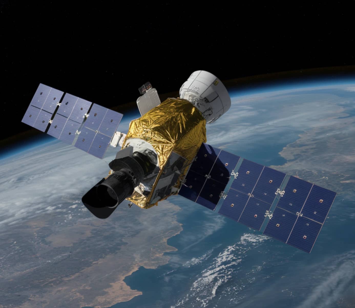
High-resolution imagery is made possible through cutting-edge satellite technology. Equipped with advanced sensors, satellites orbit the planet to capture images using optical and radar systems. Optical sensors function similarly to digital cameras, while Synthetic Aperture Radar (SAR) can penetrate clouds and capture images at night, ensuring consistent data collection.
Modern satellite constellations—groups of satellites working in unison—enhance coverage and reduce revisit times for near real-time monitoring. Despite their advanced capabilities, satellites face challenges such as atmospheric distortion and weather conditions. To address these obstacles, satellite operators use sophisticated algorithms and processing techniques to ensure image quality.
Platforms like SkyFi aggregate data from multiple sources, providing users with access to high-quality imagery. Advanced APIs and machine learning algorithms further simplify the process of transforming raw satellite data into actionable insights for various applications.
Transformative Applications of High-Resolution Earth Imagery
High-resolution imagery has far-reaching applications across diverse sectors. Its versatility makes it a vital resource for addressing global challenges and supporting innovation.
Environmental Monitoring and Conservation
High-resolution imagery plays a pivotal role in environmental monitoring. It enables the tracking of deforestation, glacier melt, and oil spills, offering real-time data for conservation efforts. For instance, satellite imagery has been instrumental in identifying illegal logging activities, leading to interventions that preserve critical ecosystems.
By mapping biodiversity hotspots and assessing habitat changes, conservationists gain valuable tools for protecting endangered species. This level of detail is indispensable for understanding and mitigating environmental threats.
Urban Planning and Development
Urban planners rely on high-resolution imagery to analyze infrastructure, monitor construction, and assess traffic patterns. This data supports efficient resource allocation and sustainable urban growth. For example, high-resolution images have been used to identify urban sprawl in rapidly expanding cities, prompting smarter zoning regulations.
Additionally, this technology aids disaster preparedness by highlighting vulnerable areas prone to flooding or seismic activity. By providing actionable data, it enhances urban resilience and development strategies.
Disaster Response and Recovery
In disaster scenarios, high-resolution imagery delivers critical insights for effective response and recovery efforts. It provides clear visuals of affected areas, helping emergency teams assess damage and allocate resources efficiently. During Hurricane Katrina, satellite images were used to map flood zones, enabling coordinated rescue operations and reconstruction planning.
From identifying obstructed roads to pinpointing stranded populations, this technology enhances situational awareness and saves lives during crises.
Accessibility and Cost of High-Resolution Imagery
Accessing high-resolution imagery has become increasingly feasible through platforms that provide both free and commercial satellite data. SkyFi, for instance, offers solutions tailored to researchers, hobbyists, and enterprises, bridging the gap between affordability and quality.
Free platforms such as Sentinel Hub and USGS Earth Explorer deliver valuable data but often have limitations in resolution and licensing. On the other hand, commercial providers like Maxar offer unparalleled detail but may come at a higher cost. By aggregating data and offering flexible pricing models, SkyFi aims to make high-resolution imagery accessible to a broader audience.
Ethical considerations, including privacy concerns, are also critical in the era of accessible satellite imagery. Responsible usage and adherence to strict data governance policies are essential to ensure that high-resolution imagery benefits society without compromising individual rights.
The Future of High-Resolution Earth Observation
The future of high-resolution Earth observation is marked by rapid advancements in technology. Miniaturized satellites are reducing costs, while AI-driven analytics unlock new potential for interpreting satellite data.
Upcoming innovations promise higher resolution, enhanced spectral capabilities, and faster revisit times, enabling more detailed and timely observations. These developments will empower industries to address pressing challenges such as climate change, resource management, and food security more effectively.
SkyFi continues to contribute to this evolving field by collaborating with leading satellite operators and investing in innovative solutions. By doing so, the platform ensures that high-resolution imagery remains a powerful tool for tackling global issues and driving positive change.
High-resolution imagery of Earth from space offers a transformative perspective on the planet. Beyond its technological achievements, it fosters a deeper appreciation for Earth’s interconnected systems and inspires sustainable actions. This technology provides endless opportunities for exploration, understanding, and problem-solving.
For those interested in leveraging the power of high-resolution imagery, platforms like SkyFi provide accessible tools and resources. By harnessing this technology, individuals and organizations can contribute to a more informed and sustainable future.