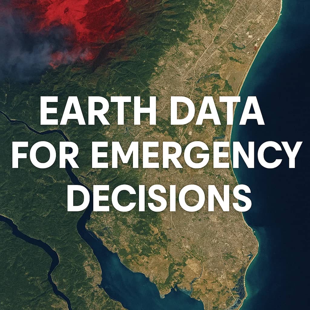
Getting Ahead of Disaster: Earth Data for Response
Natural disasters demand quick, informed decisions. Getting reliable information rapidly is critical for effective response. SkyFi provides straightforward access to satellite imagery, offering valuable perspectives for emergency managers and response teams working through difficult circumstances.
Seeing Risks Before They Strike
Understanding potential threats is fundamental to preparation. Historical satellite images stored in archives show areas previously affected by floods, fires, or land movement. Analyzing these past views helps identify vulnerable zones and potential hazards before an event occurs. This information supports better evacuation planning and resource placement.
→ Find historical images of your area of interest in the SkyFi app today.
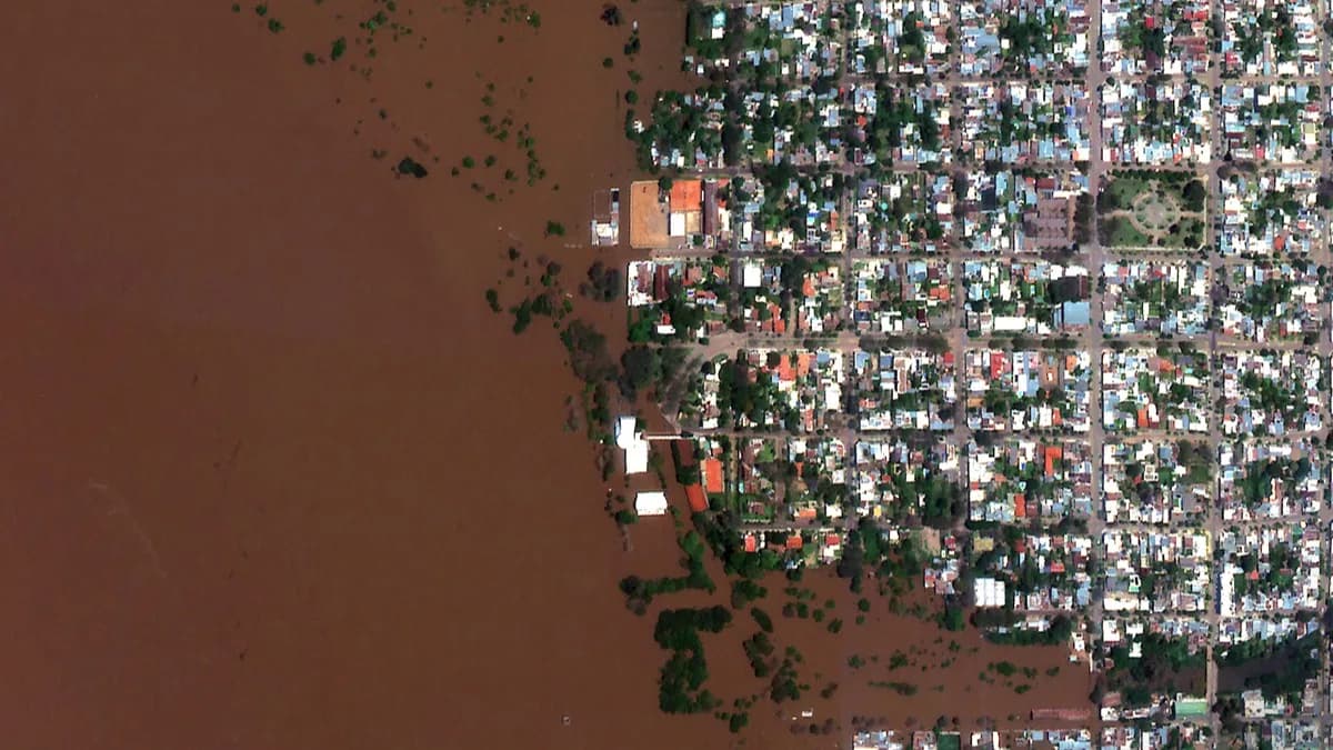
What's Happening on the Ground Right Now?
During an active event, conditions change rapidly, and ground access may be impossible. Getting a current view from above is essential for situational awareness. You can request new satellite images over affected areas, including radar data that can see through clouds or smoke. This helps direct immediate assistance and understand the situation as it unfolds.
→ Task a new satellite image directly through the SkyFi platform.
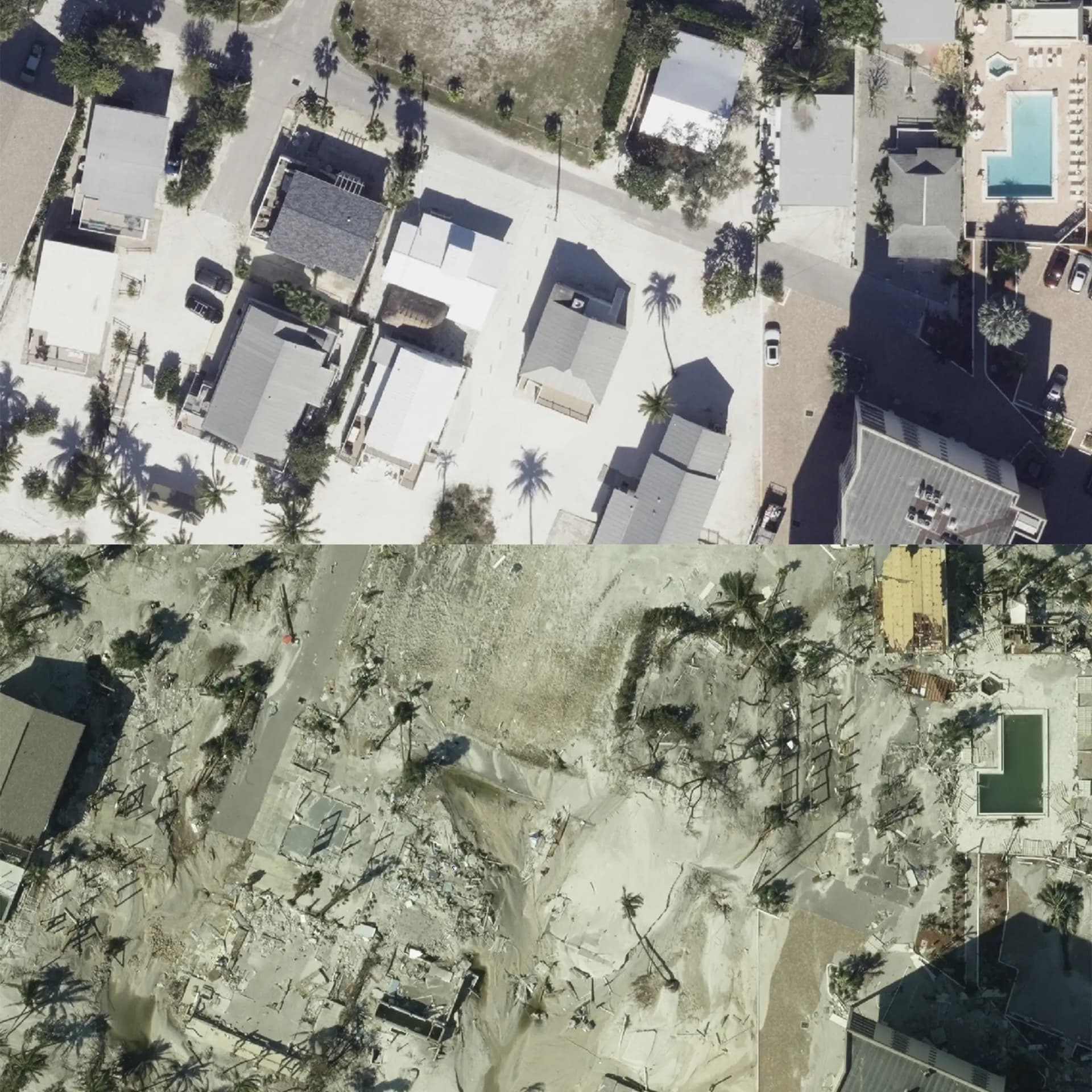
Watching the Recovery Take Shape
After the immediate crisis passes, the recovery phase begins. Comparing satellite images taken before the event with newly acquired ones shows the extent of damage to buildings, infrastructure, and the environment. Continued monitoring with satellite data helps track debris removal, rebuilding progress, and the effectiveness of recovery efforts over weeks and months.
→ Compare archive and new imagery for change detection using SkyFi.
Clear Costs for Clear Views
SkyFi offers clear, upfront pricing for imagery. The price is determined by factors like the requested image size, the specific sensor type needed, and the desired image resolution. You will see the cost before you commit to a purchase.
A Simpler Way to Get Earth Data
SkyFi simplifies obtaining different types of satellite data through one interface. It is designed for users who need Earth observation information quickly, without requiring deep technical expertise in remote sensing. Access extensive archive data or request new image collections easily to support your mission.
From preparation through long-term recovery, satellite imagery offers essential perspectives for managing natural disasters. SkyFi makes obtaining this data more direct, supporting better informed decisions throughout the entire disaster management cycle.


