Earth Intelligence Platform
Instant access to satellite imagery and geospatial analytics,
right at your fingertips.
Trusted by 10,000+ companies worldwide to monitor, plan, and respond.












Products
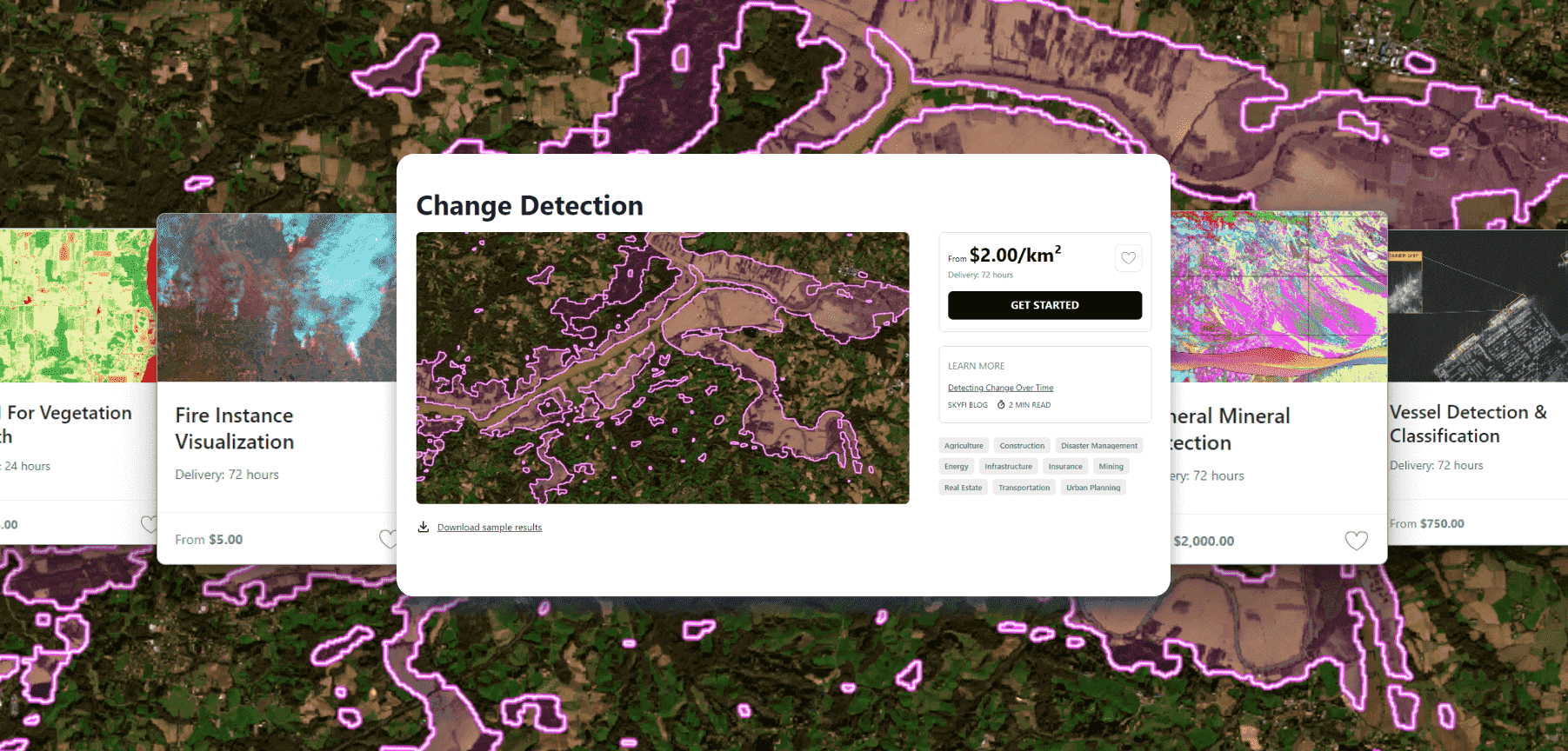
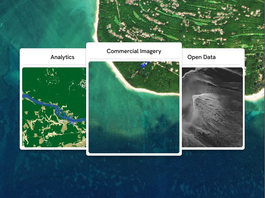
Analytics
Commercial Imagery
Open Data
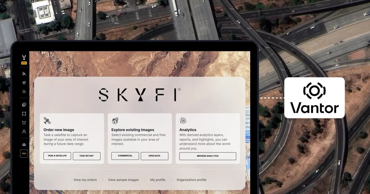
Vantor

Vantor Connect

Maritime AIS Data
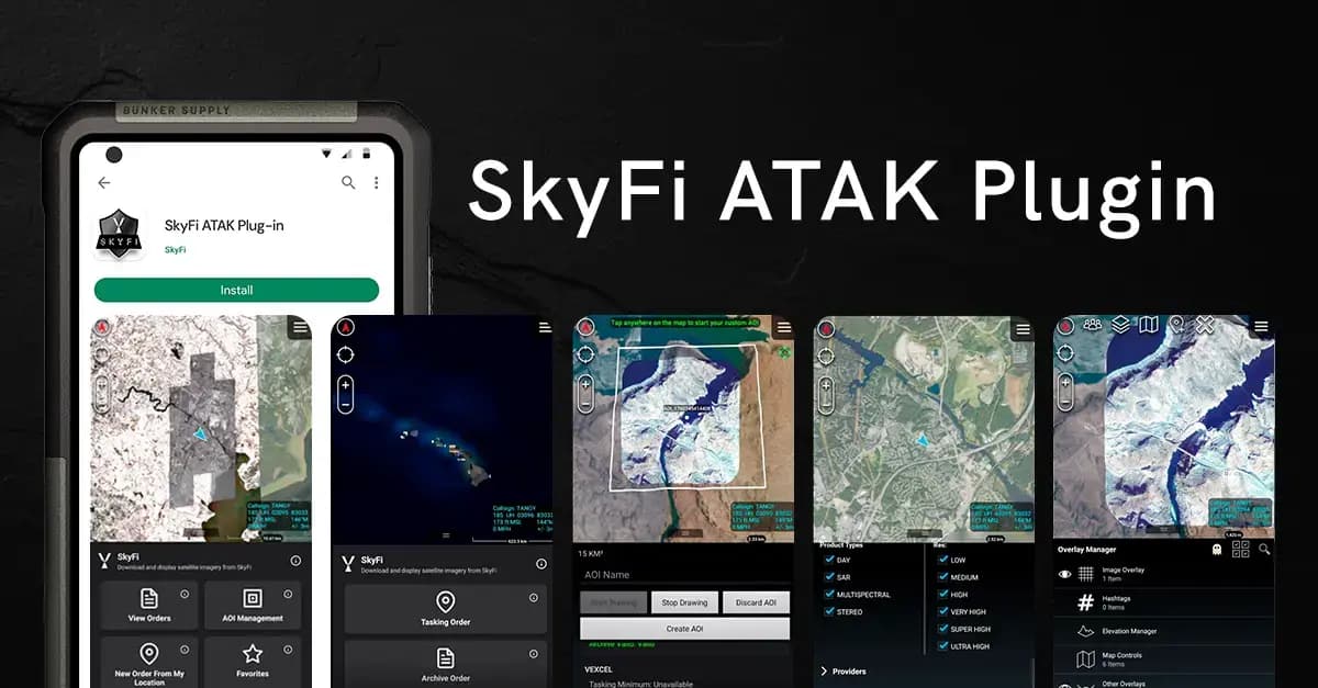
SkyFi Plugin for ATAK

ICEYE US Direct

Planet Select
Only Pay for What You Need with Lowest-in-Market, Transparent Pricing
| Single Archive Image | Single Tasking Image |
Starting at $ 15 *High-resolution optical image | Starting at $ 200 *High-resolution optical image |
Comprehensive Coverage
High Precision & Resolution
Cost-Effective Accessibility
Diverse Data Types
All-in-one Platform
Get started with ease
CREATE YOUR FREE ACCOUNTCreate your FREE account today.
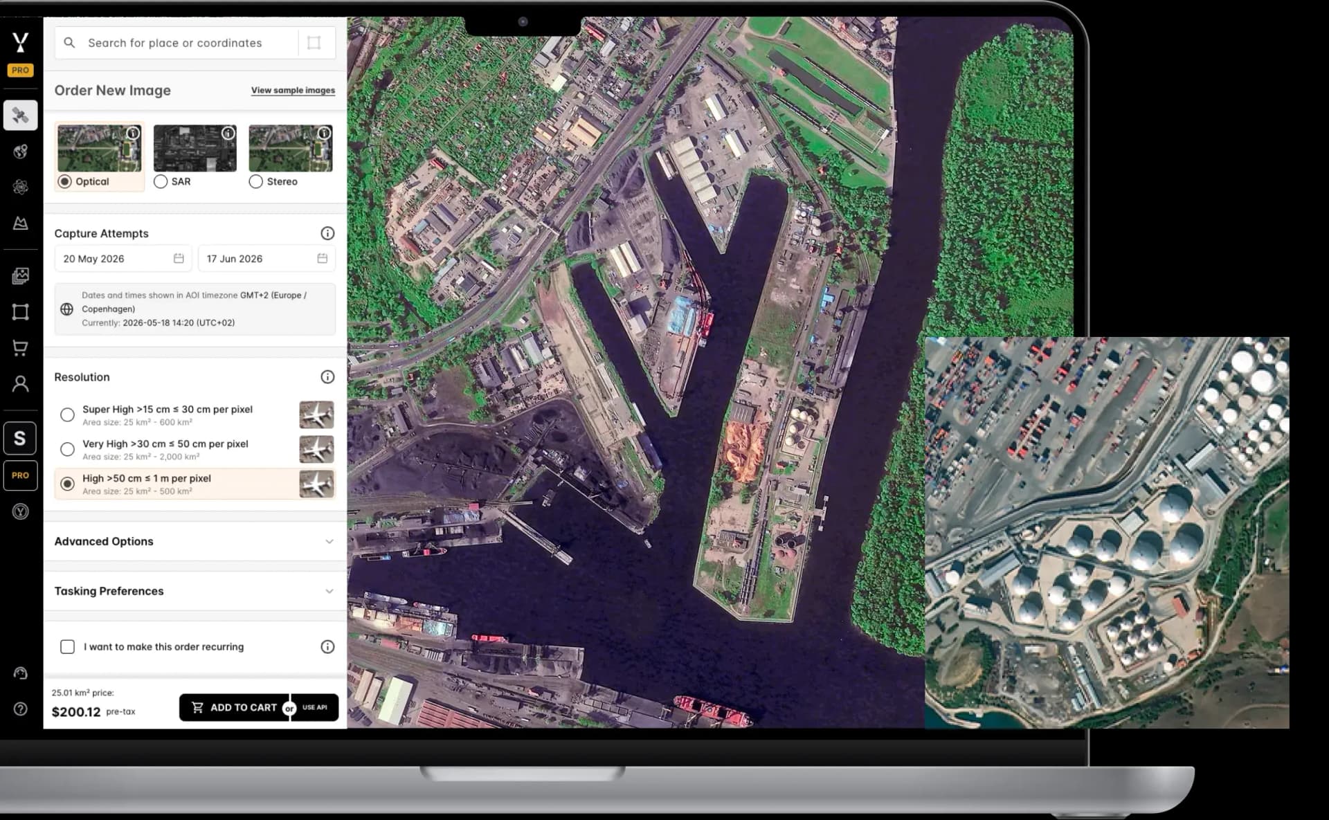
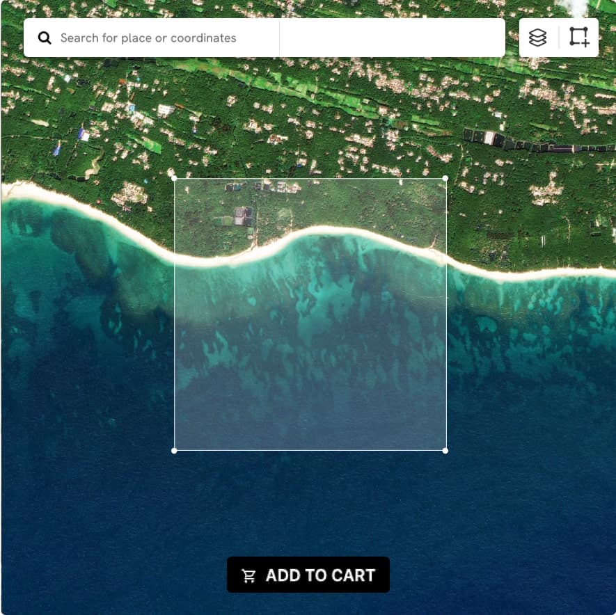
Get immediate access to our user-friendly interface and start exploring anywhere on the planet with transparent pricing options upfront.
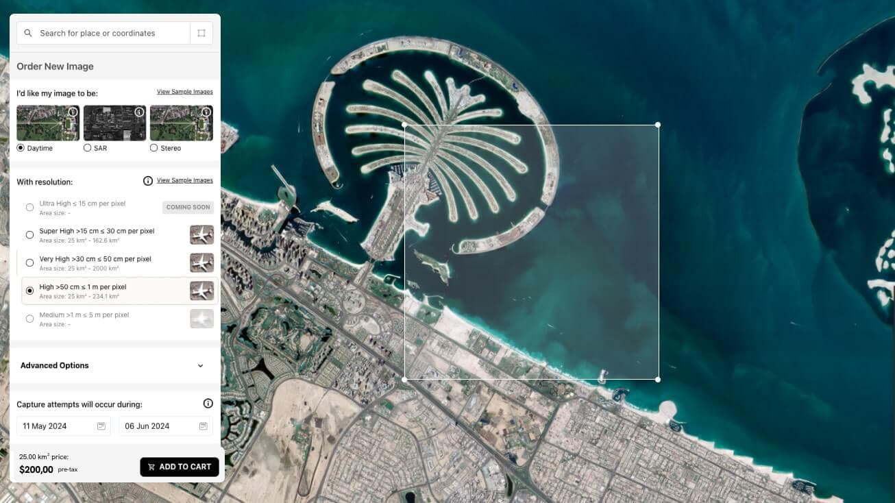
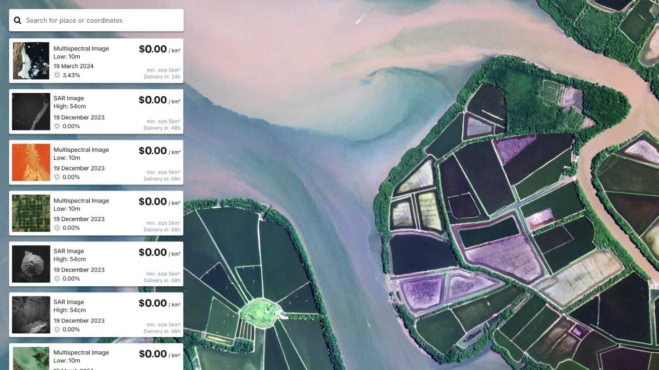
Order New Images for a specific date and location, or access our extensive library of Existing Images
About Skyfi
SkyFi is a self-service Earth Intelligence Platform that allows users to run built-in geospatial analytics, task satellites, and access archived imagery from 40+ providers. The dual-use platform supports both civilian and defense use cases, with flexible ordering options, transparent pricing, and API access for large-scale workflows.
Customers can use SkyFi's web platform, mobile app, or developer APIs to manage Earth observation projects without needing contracts or in-house GIS teams.
Our Partners


Welcome to SkyFi
The answers you need all in one place.
Quick and easy ordering from the company that brought you transparent pricing.