Order Vantor Imagery
Task high-resolution imagery and 3D products from Vantor on demand
Access on-demand Vantor satellite imagery directly on SkyFi. Search archive data or task new collections through a single self-serve Earth intelligence platform built for speed, scale, and mission-critical use.

SkyFi gives you on-demand access to the Vantor product suite including archive imagery, tasking, global basemaps, and 3D models.
Swipe to see more

ARCHIVE IMAGERY
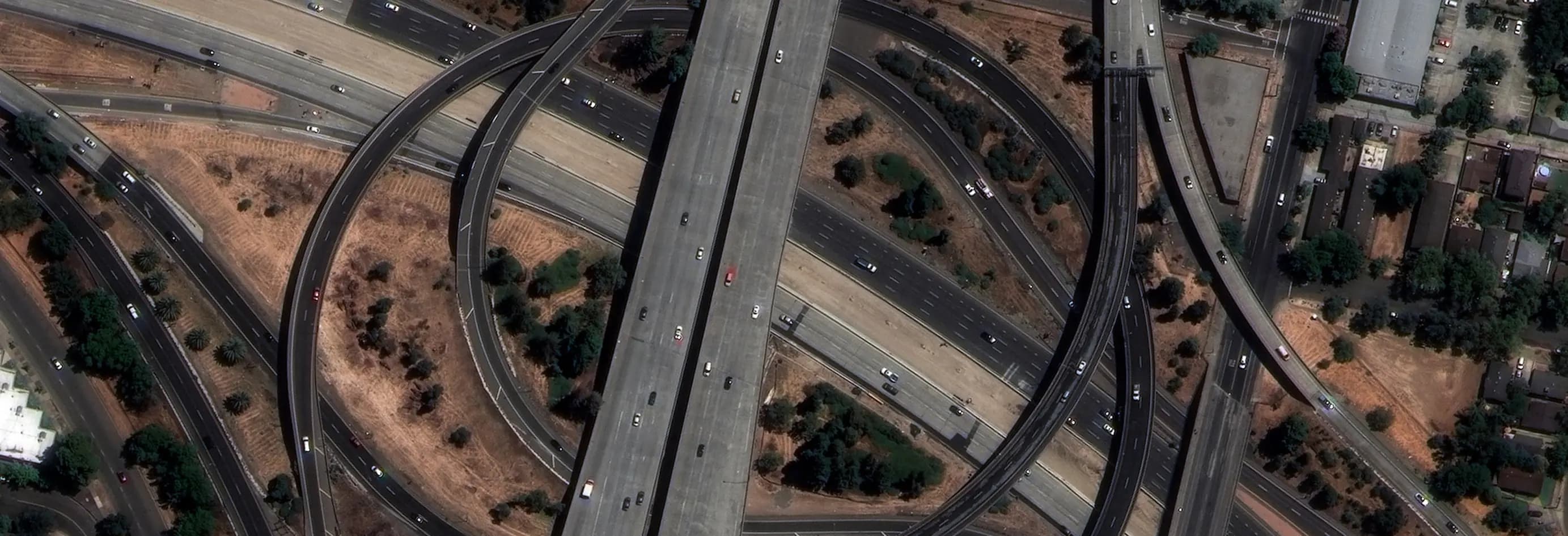
Access high-resolution WorldView Archive imagery directly through SkyFi, available in 15 cm HD, 30 cm, and 50 cm resolution.
Explore Archive These archived satellite images are ideal for mapping, monitoring, and change detection, and offer global coverage across a wide range of dates and geographies. All imagery is georeferenced and available in standardized formats, making it easy to integrate into analysis and visualization workflows.
Frequently Asked Questions
Learn how easy it is to search, task, and order Vantor imagery and data on SkyFi
Need more help?
Contact Us
Vantor on SkyFi
Order Vantor’s premium Earth observation data directly through SkyFi. Unified access to WorldView archive imagery, on-demand WorldView 2D tasking, Vivid Mosaic global basemaps, and Vivid Terrain 3D elevation models with fast delivery, transparent pricing, and no contracts.
More SkyFi Products
Starting at $5
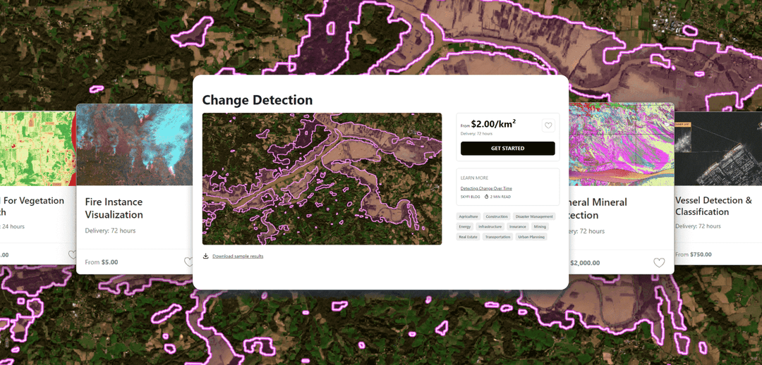
Analytics
Transform raw images and datasets into real answers with SkyFi Analytics. Our platform delivers pivotal insights across industries with advanced tools like object detection, hyperspectral signature analysis, and commodity stockpile measurement, empowering you to optimize operations and strategic planning.

Starting at $15
Commercial Imagery
Task a satellite to capture an image in the future of your area of interest in just a few clicks, set up recurring orders, and purchase existing images from our vast archive of data.

Available for FREE
Open Data
SkyFi's open data program provides comprehensive, free satellite data to broaden analytics use cases and provide crucial data for agriculture, urban planning, and disaster management.

Vantor
On-demand access to Vantor’s WorldView constellation, global basemaps, and 3D terrain models directly on SkyFi. Task new imagery and explore the world in unmatched detail.

Vantor Connect
On-demand access to Vantor’s full constellation and 3D models through Vantor Connect, powered by SkyFi. Schedule new Vantor tasking at 30 cm or 50 cm resolution, browse decades of Vantor archive imagery, or order Vantor 3D models to measure and visualize change with unmatched clarity. Designed for mission-critical workflows that demand precision and speed.

Maritime AIS Data
Track global vessel activity with SkyFi’s unified Maritime AIS data. The platform merges satellite, terrestrial, and shipborne AIS feeds to deliver worldwide visibility, anomaly detection, and dark-ship tracking for security, logistics, and compliance missions.

SkyFi Plugin for ATAK
Access satellite imagery with SkyFi's ATAK Plugin, which enables live tasking and analytics, giving field operators real-time situational awareness.

ICEYE US Direct
Get direct access to persistent monitoring with real-time SAR intelligence at your fingertips. Explore high-resolution Synthetic Aperture Radar (SAR) imagery on the new ICEYE US self-service platform powered by SkyFi, where you can search the extensive archive or task satellites to simplify acquisition and accelerate decision-making.

Planet Select
Experience rapid access to the Planet SkySat® constellation for both tasking and archive satellite imagery, powered by SkyFi’s infrastructure. Planet Select lets users monitor high-frequency optical data, order new SkySat captures, and analyze surface changes with ease, ideal for agriculture, infrastructure, and environmental intelligence at scale.
