Geospatial Analytics


OBJECT DETECTION & CLASSIFICATION
Agriculture: Identifying crop types over large areas.
Infrastructure: Detecting and classifying infrastructure elements such as buildings, roads, and bridges from aerial imagery for maintenance and development projects.
Security: Tracking vehicle frequency and detecting intrusions in restricted areas through object classification for security surveillance.

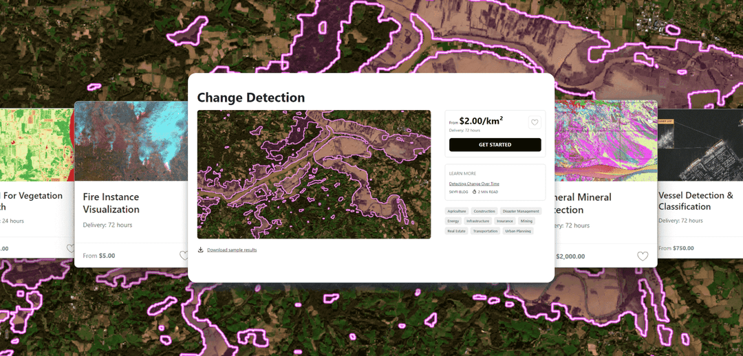
CHANGE OVER TIME & MONITORING
Transportation: Monitoring changes in transportation infrastructure and analyzing traffic patterns for transportation planning and management.
Real Estate: Tracking urban growth and land use changes over time to inform real estate investment decisions and urban development projects.
Disaster Management: Monitoring vegetation recovery and assessing post-disaster damage for effective disaster response and recovery planning.

MATERIAL DETECTION
Mining: Identifying mineral signatures and mapping geological abundance using spectral analysis techniques for mineral exploration and resource management.
Environmental: Monitoring water quality and detecting pollutants by analyzing spectral signatures in satellite imagery for environmental market activity or security surveillance and protection.
Agriculture: Assessing crop health, water optimization, and nutrient levels by analyzing spectral reflectance data for precision farming and yield optimization.

TOPOGRAPHIC MODELS
Urban Planning: Generating detailed elevation models to analyze terrain features and plan urban development projects.
Disaster Management: Assessing flood risk by analyzing topographic data and identifying vulnerable areas for disaster preparedness and response.
Mining: Mapping geological formations and identifying potential mineral deposits using topographic models for resource exploration and management.

DATA REPORTS
Oil and Gas: Delivering regular reports on oil storage capacity to aid decision-making and market analysis in the oil and gas sector.
Infrastructure: Providing assessments and maintenance priorities for infrastructure management.
Environmental: Offering environmental and conservation reports to aid in regulatory compliance and management.

DATASETS
Infrastructure: Offering annotated datasets with specific objects such as buildings, roads, and bridges identified, supporting urban planning and development projects.
Construction: Offering annotated datasets with construction- related objects such as cranes, and building materials identified, facilitating project management and monitoring.
Automotive: Offering annotated datasets to identify vehicles, aiding in transportation planning and traffic management.


Get Access to Near Real-Time Satellite Imagery


Only Pay for What You Need with Lowest-in-Market, Transparent Pricing
| Single Archive Image | Single Tasking Image |
Starting at $ 15 *High-resolution optical image | Starting at $ 200 *High-resolution optical image |
Comprehensive Coverage
High Precision & Resolution
Cost-Effective Accessibility
Diverse Data Types
All-in-one Platform
More SkyFi Products
Analytics

Commercial Imagery

Open Data

Vantor

Vantor Connect

Maritime AIS Data

SkyFi Plugin for ATAK

ICEYE US Direct

Planet Select
