SkyFi Plugin for ATAK
Operational Satellite Imagery in TAK
Access commercial satellite imagery inside the Android Team Awareness Kit (ATAK) environment with the SkyFi Plugin. Built with GoTAK, this plugin connects SkyFi’s platform to field operations in real time.
No custom server or special hardware required.
DOWNLOAD NOWThe plugin supports tactical coordination, planning, and situational reference for public safety, municipal, and defense teams operating on Android-based TAK devices.
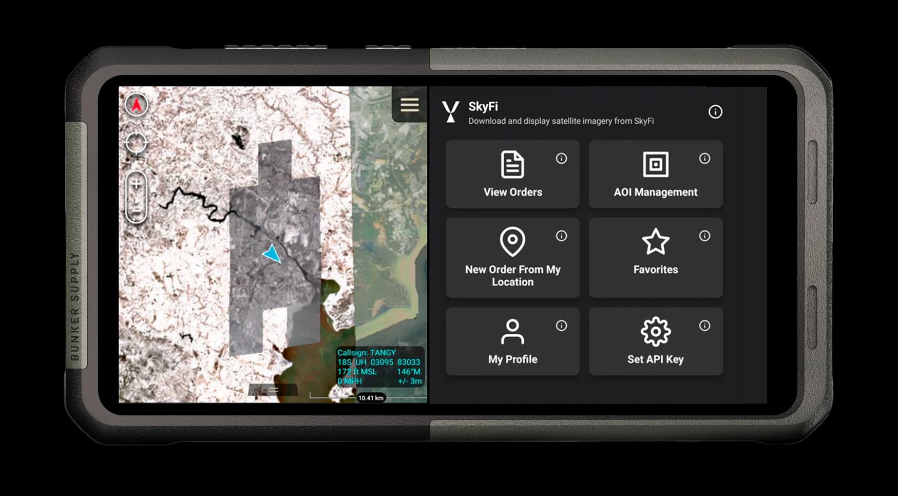
OVERLAY IMAGERY
Use your SkyFi Pro account to log in and access all previously purchased imagery directly in ATAK.

SHARE ACROSS TEAMS
Imagery is automatically shared with others on your team who are registered on the same SkyFi Pro account.

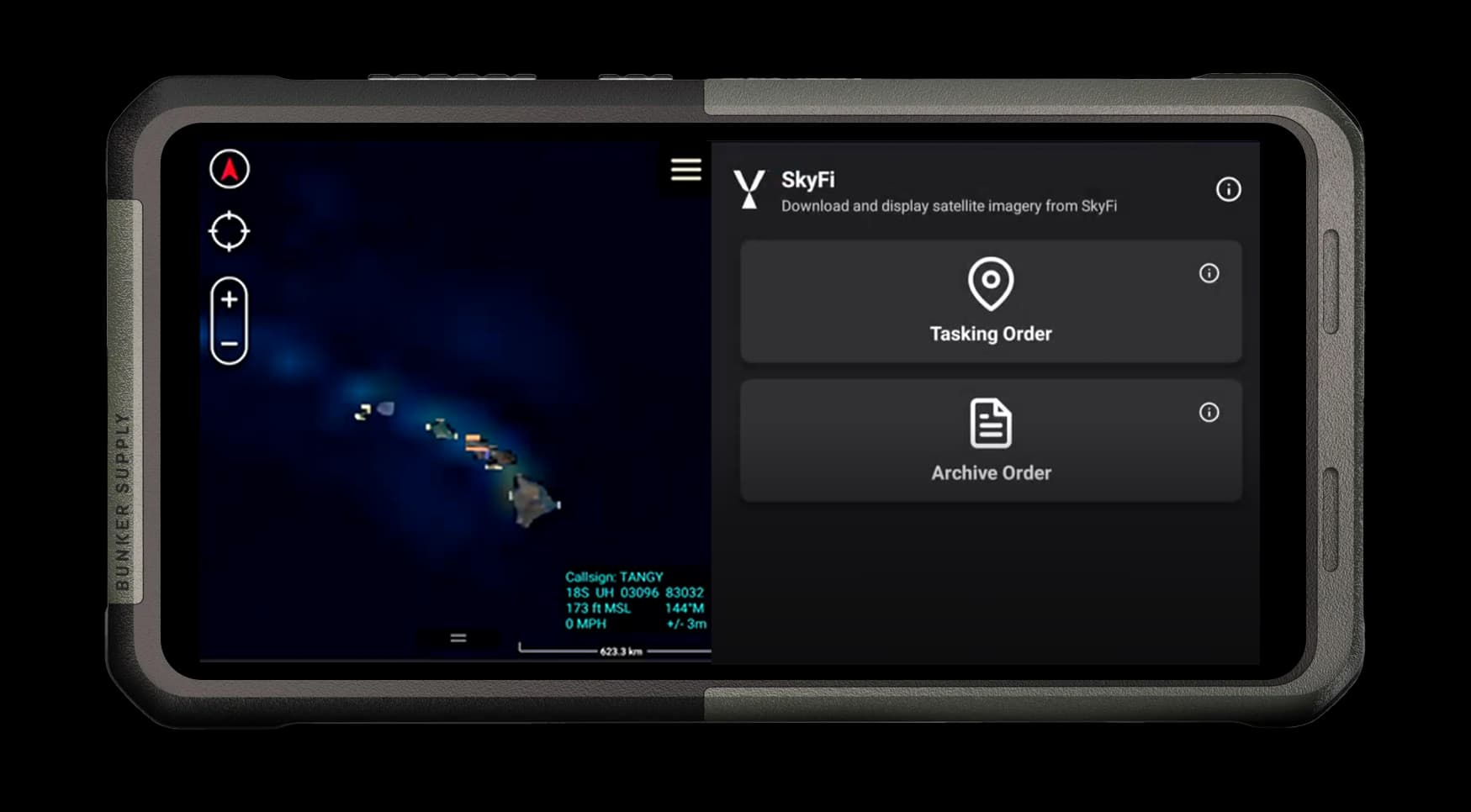
TASK A SATELLITE
Draw a polygon inside TAK, order fresh imagery of the selected area, and make it available to your team.

Try SkyFi in ATAK for Free
Want to see SkyFi imagery directly in ATAK? Request a free demo key and explore our sample high-resolution images in action.
Before you request your key, make sure:
That’s it.
REQUEST DEMO KEY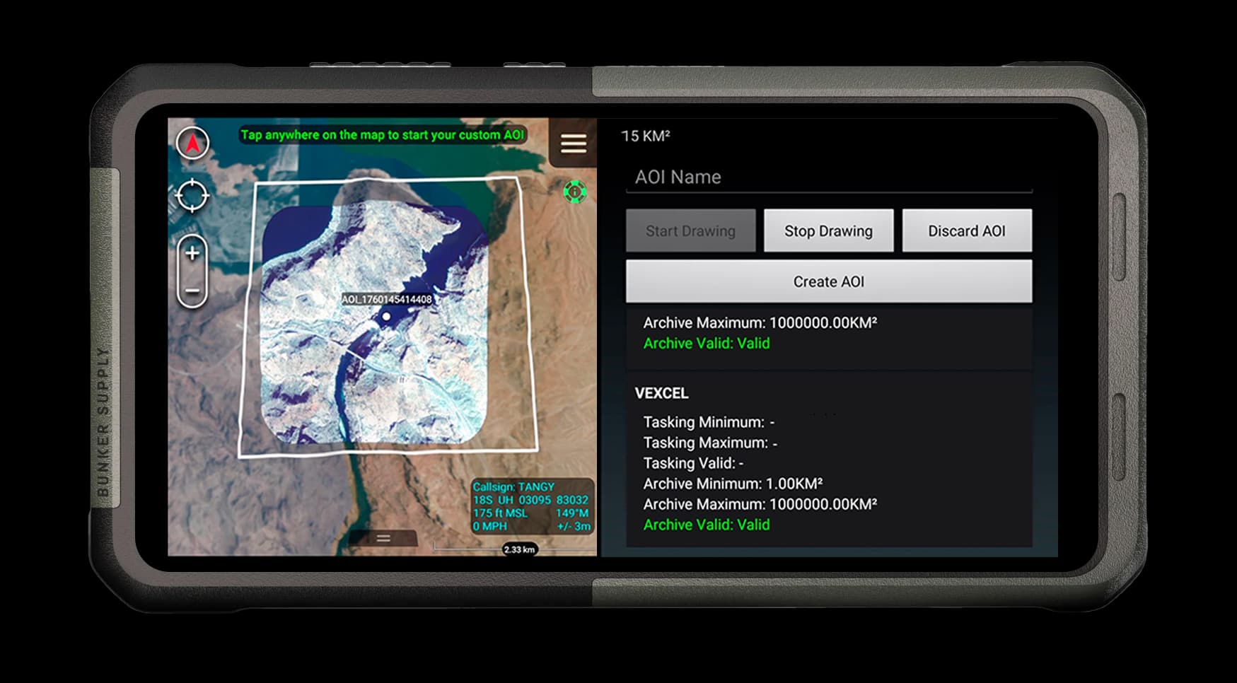
Technical Details
Supported Versions
SkyFi Plug-in v2 supports ATAK v5.4 and v5.5
Device Requirements
Android phone or tablet with ATAK installed
SkyFi Pro Account
Built for Field Users
SkyFi delivers satellite imagery fast to support disaster response, border security, tactical operations, and humanitarian aid. The ATAK Plug-in brings everything into one platform so you don’t need to switch between devices, apps, or tabs. Plan missions, assess threats, and gain situational awareness in one interface.
01
LAW ENFORCEMENT & FIRST RESPONDERS
Deploy high-resolution satellite imagery to support tactical operations, mission planning, and field response. Updated imagery enhances perimeter security, area familiarization, and real-time situational awareness for law enforcement, firefighters, and emergency teams across both urban and rural environments.
02
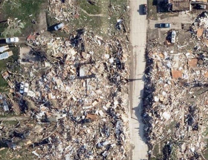
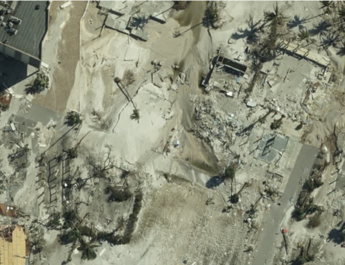
DISASTER RESPONSE
Analyze damage, monitor environmental changes, and prioritize response areas with post-event satellite data. Useful for tracking flood extent, fire impact, landslides, or infrastructure disruption immediately after an incident.
03
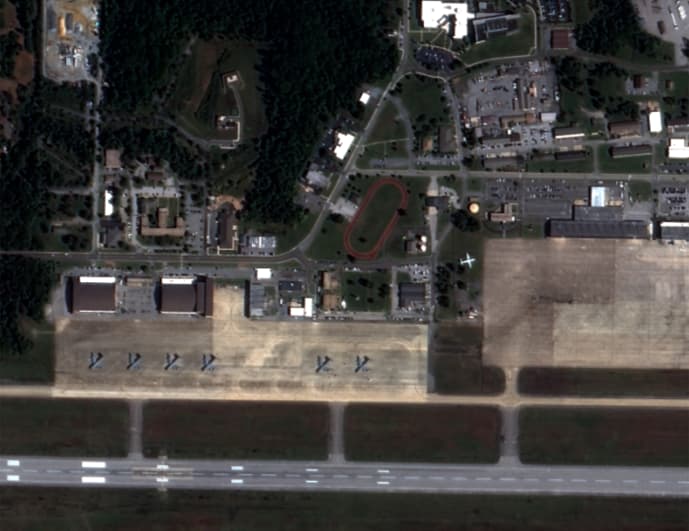
MILITARY & DEFENSE
Access high-resolution commercial satellite imagery for operational planning, observation, and overwatch missions without needing CAC credentials. Useful for exercises, border awareness, and remote site visibility in permissive and non-permissive environments.
04
HUMANITARIAN & NGO
Use commercial satellite data to support crisis mapping, refugee tracking, and aid delivery logistics in underserved or disaster-hit regions. Ideal for international organizations needing rapid visibility without relying on government infrastructure.
05
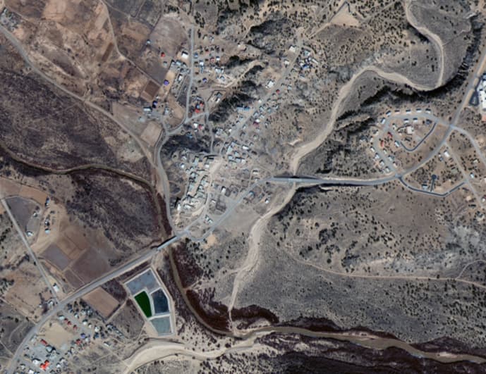
BORDER & CRITICAL INFRASTRUCTURE SECURITY
Monitor borders, utility corridors, and high-value infrastructure using satellite imagery. Detect changes around energy assets, transit hubs, and remote facilities. Support patrol planning, vulnerability assessment, and continuity planning across secure or sensitive zones.
SkyFi Plugin for ATAK is live and operational
We want to know what you want to see in SkyFi ATAK and hear your feedback.
Help shape the next release.
Send your input, requests, or technical feedback to: [email protected]