New: the SkyFi MCP server is live. Connect satellite imagery to Claude, ChatGPT, and more.See how it works

SkyFi MCP Server

Search, Task, and Order Satellite Imagery from Any AI

Connect AI applications and agents to SkyFi to access satellite imagery and geospatial analytics from the world's leading providers.
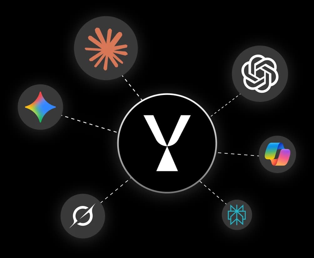
SkyFi MCP server connecting Claude, ChatGPT, Gemini, Copilot, and other AI applications
Get Started

Set up the SkyFi MCP in minutes

01
about_image
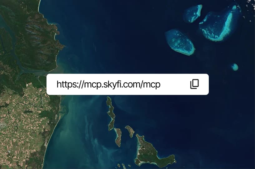
Copy the SkyFi MCP URL
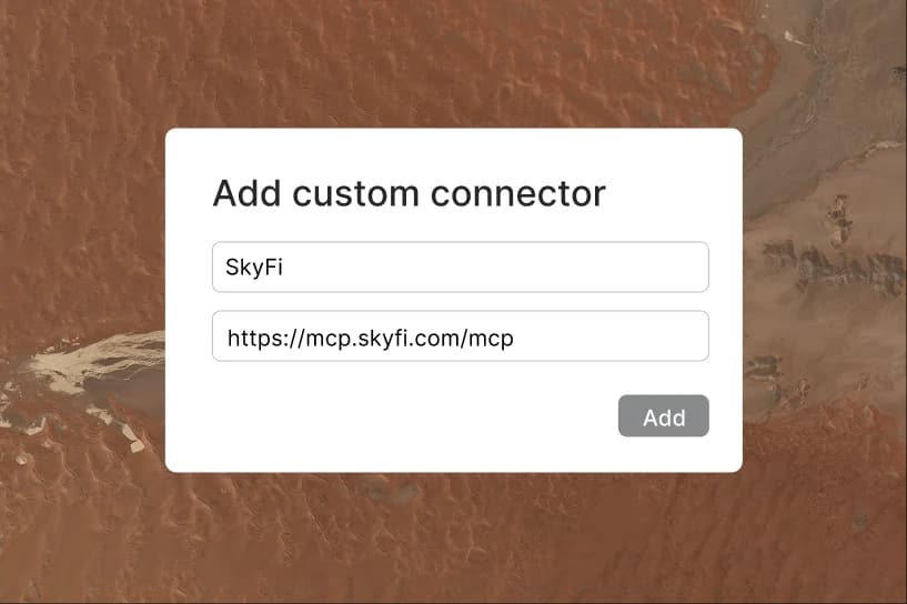
Connect the SkyFi MCP as a custom connector using the MCP URL.
02
about_image
Sign in to SkyFi
Connect your SkyFi account or create one to access imagery, tasking, and analytics.
03
about_image
Start exploring
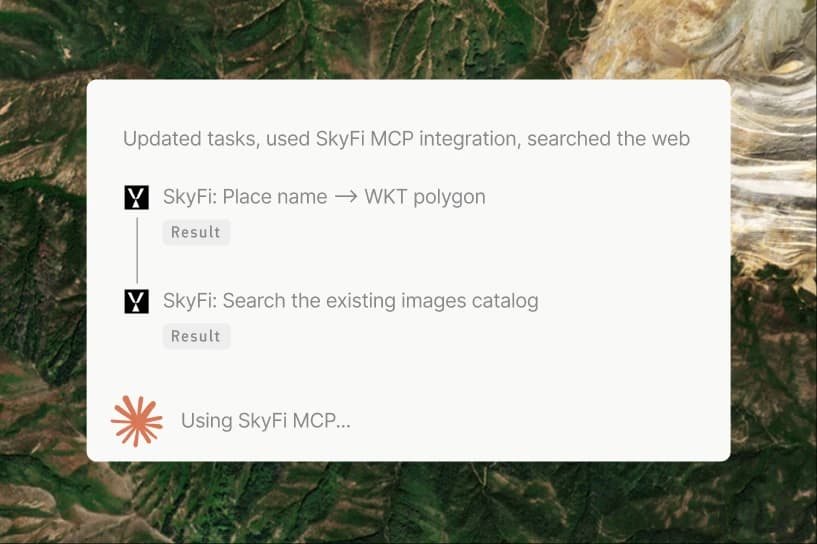
Ask your AI to search imagery, task new captures, compare options, run analytics, and place orders.

The Toolkit

Everything SkyFi can do, now available as tools

Work with imagery in any AI application

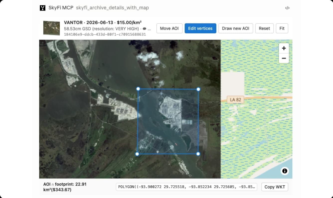
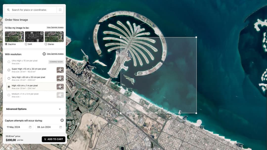
Preview any scene on an interactive map, reshape the area of interest by dragging the polygon, and place your order without leaving the chat. Available in supported AI clients.

SkyFi MCP tool previewing a satellite scene on an interactive map with an editable area of interest

Ask any place on Earth a question

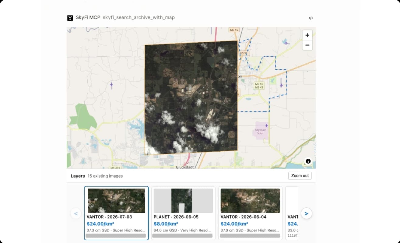
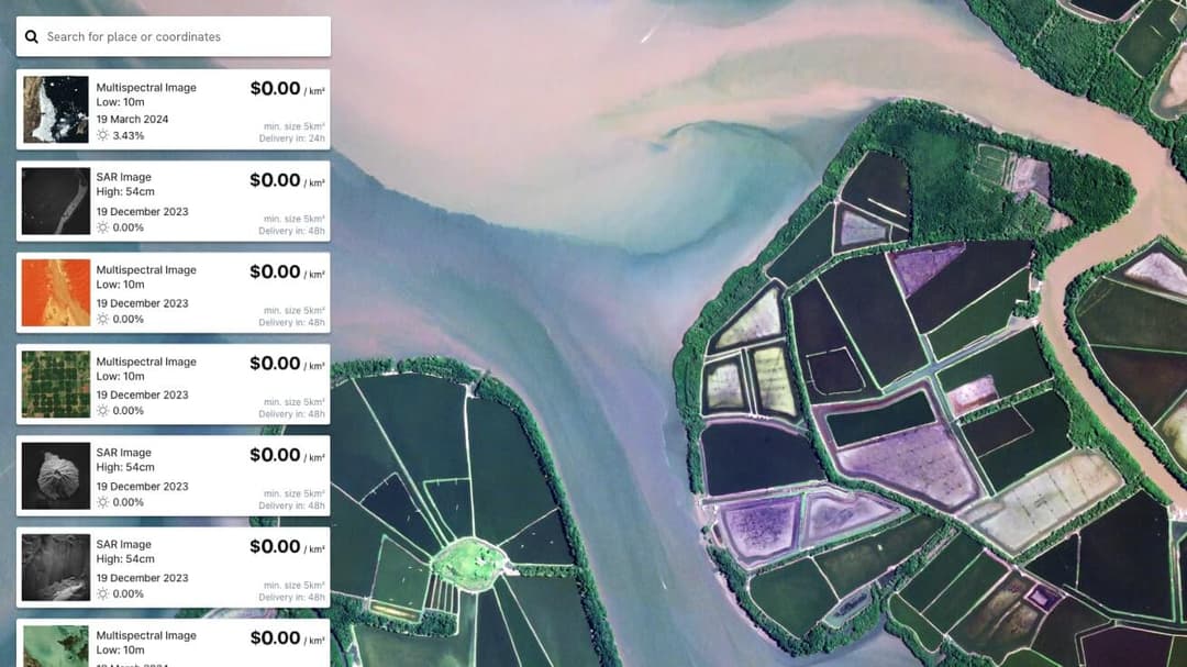
Search imagery in plain language. Find the latest clear scene, compare dates, and price the best option in one request. No specialized software or training required.

SkyFi MCP tool searching the satellite imagery archive with a map and result thumbnails

Order and task imagery on demand

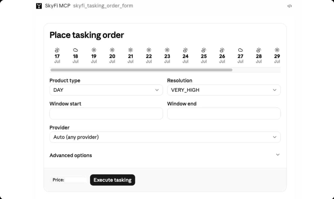
Buy an existing capture immediately, or commission a satellite to capture a new one. Feasibility, pass prediction, and cloud forecast come first. The exact price is confirmed before anything is charged.

SkyFi MCP tool placing a tasking order with resolution, window, and provider options

Automate monitoring and analytics

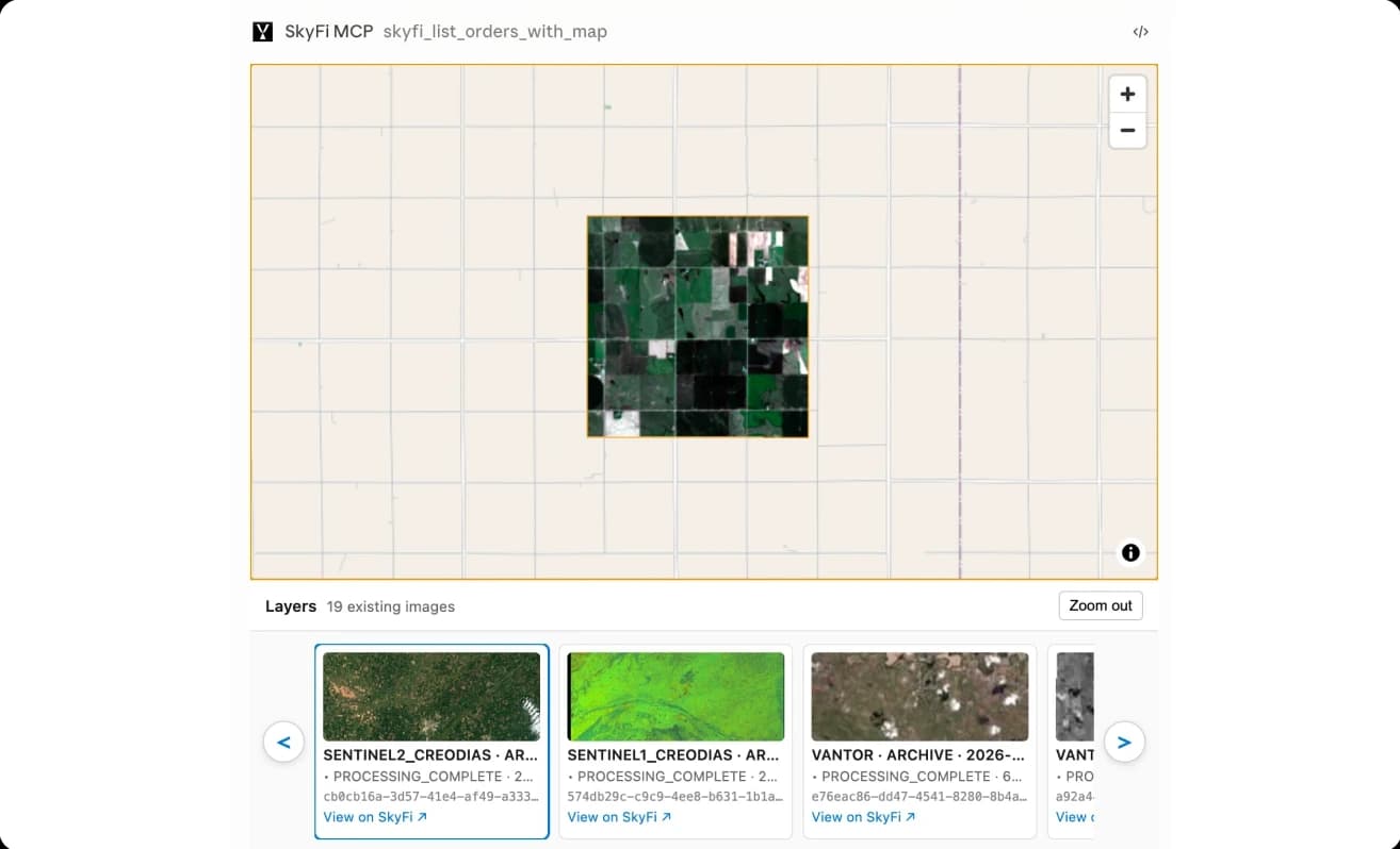
Save sites, fields, and facilities as saved Watch AOIs, then measure change over time. Designed for recurring checks and autonomous agents.

SkyFi MCP tool listing orders and monitoring a saved area of interest over time

Access the world's top satellite imagery providers with a single prompt

SkyFi is provider-agnostic by design. Your AI compares availability, resolution, and price across 300+ commercial satellites and selects the right source for each request.
partner-1partner-2partner-3partner-4partner-5partner-6

Frequently Asked Questions

Find clear answers to common questions about satellite imagery pricing, minimum order requirements, sensor options, and how to buy commercial satellite imagery on SkyFi.

A Model Context Protocol server that connects AI applications and agents to SkyFi, the world's Earth intelligence platform. Once connected, your AI can search archive satellite imagery, task new captures, compare pricing, place orders, and run geospatial analytics on your SkyFi account, all in natural language.

More SkyFi Products
product Analytics
Starting at $5

Analytics

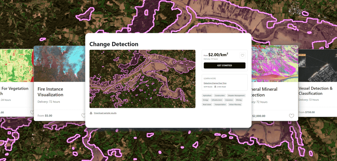
Transform raw images and datasets into real answers with SkyFi Analytics. Our platform delivers pivotal insights across industries with advanced tools like object detection, hyperspectral signature analysis, and commodity stockpile measurement, empowering you to optimize operations and strategic planning.
product Commercial Imagery
Starting at $15

Commercial Imagery

Task a satellite to capture an image in the future of your area of interest in just a few clicks, set up recurring orders, and purchase existing images from our vast archive of data.
product Open Data
Available for FREE

Open Data

SkyFi's open data program provides comprehensive, free satellite data to broaden analytics use cases and provide crucial data for agriculture, urban planning, and disaster management.
product Vantor

Vantor

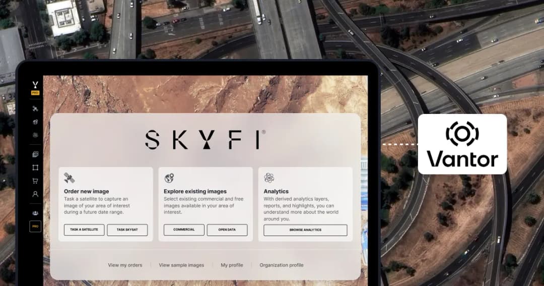
On-demand access to Vantor’s WorldView constellation, global basemaps, and 3D terrain models directly on SkyFi. Task new imagery and explore the world in unmatched detail.
product Vantor Connect

Vantor Connect

On-demand access to Vantor’s full constellation and 3D models through Vantor Connect, powered by SkyFi. Schedule new Vantor tasking at 30 cm or 50 cm resolution, browse decades of Vantor archive imagery, or order Vantor 3D models to measure and visualize change with unmatched clarity. Designed for mission-critical workflows that demand precision and speed.
product Maritime AIS Data

Maritime AIS Data

Track global vessel activity with SkyFi’s unified Maritime AIS data. The platform merges satellite, terrestrial, and shipborne AIS feeds to deliver worldwide visibility, anomaly detection, and dark-ship tracking for security, logistics, and compliance missions.
product SkyFi Plugin for ATAK

SkyFi Plugin for ATAK

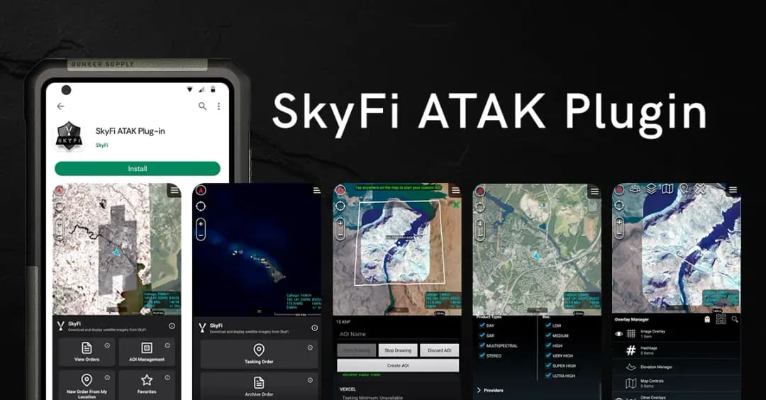
Access satellite imagery with SkyFi's ATAK Plugin, which enables live tasking and analytics, giving field operators real-time situational awareness.
product ICEYE US Direct

ICEYE US Direct

Get direct access to persistent monitoring with real-time SAR intelligence at your fingertips. Explore high-resolution Synthetic Aperture Radar (SAR) imagery on the new ICEYE US self-service platform powered by SkyFi, where you can search the extensive archive or task satellites to simplify acquisition and accelerate decision-making.
product Planet Select

Planet Select

Experience rapid access to the Planet SkySat® constellation for both tasking and archive satellite imagery, powered by SkyFi’s infrastructure. Planet Select lets users monitor high-frequency optical data, order new SkySat captures, and analyze surface changes with ease, ideal for agriculture, infrastructure, and environmental intelligence at scale.
connection_image

Want to Know More?

Contact us