Commercial Satellite Imagery

Expanding Horizons with Premium Commercial Imagery
SkyFi presents a wide range of commercial imagery solutions, tailored to meet the diverse needs of our clients. Whether you're exploring brand new tasking images or delving into extensive archival data, our offerings are designed to provide unparalleled clarity and insight for your projects.
Comprehensive Coverage:
Whether it’s urban development or remote natural environments, our extensive library ensures you have the right imagery for any project.
Customized Solutions:
Adapt your imagery selection to your needs, choosing from various sensor types, resolutions, and specific temporal requirements.
Ease of Use:
SkyFi's user-friendly platform simplifies the process of finding and accessing the imagery you need, making it straightforward to integrate our data into your workflow.
Expert Support:
Our dedicated team is on hand to guide you through our extensive catalog, ensuring you find the precise imagery to meet your project’s demands.
The world’s information at your fingertips.
With SkyFi’s commercial imagery solutions, you’re not just getting data; you’re unlocking a streamlined, user-centric experience designed to elevate your analytical capabilities.
01

Brand New Tasking Imagery
For real-time, up-to-date observations, our tasking services are at your disposal. Engage with cutting-edge imagery from Planet, UMBRA, and many more, ensuring you receive the most current and relevant data. Our tasking solutions are perfect for dynamic projects requiring the latest information.
02

Archival Imagery Excellence
Dive into history with our robust archival image collection. Access a treasure trove of data from leading providers such as Planet (SkySat), UMBRA, and many more. Each source brings a unique perspective, offering a comprehensive view of changes over time across various landscapes and environments.
03

Sensor Diversity and Resolution Range
Our commercial imagery spans a vast array of sensors and resolutions, catering to specific industry needs. Whether you require high-resolution images for detailed analysis or broader sweeps for larger overviews, our catalog adapts to your specifications, delivering precision and quality.
Get the answers you are looking for from geospatial data and analytics – all in the same place.
$0
FREE TO DOWNLOAD
Global
Coverage
4
free data sources
<24
Hour Delivery Times
At SkyFi, innovation and expansion are at our core
We are continuously enhancing our network of imagery providers to bring you a broader selection and deeper insights.


How It Works
Get Access to Near Real-Time Satellite Imagery
SkyFi simplifies access to high-resolution Earth observation data and analytics, providing an intuitive satellite imagery platform that transforms complex imagery data and analysis into quick answers with just a few clicks. SkyFi uses up-to-date technology so that you can view and buy high-resolution imagery up to 7.5 cm resolution, featuring near real-time updates (satellite images captured within the last 24 hours).
01


Signing Up for SkyFi Satellite Imagery
Start exploring without the need for a signup or subscription. SkyFi’s quick and straightforward process opens the door to the world of advanced Earth observation data. With access to optical, Synthetic Aperture Radar (SAR), multispectral, and aerial data, users can monitor the world from multiple sources and across all weather conditions. This multi-sensor approach provides reliable, high-quality intelligence for persistent monitoring, analysis, and decision-making.
02

Exploring and Ordering Precise Imagery
With virtual constellations of satellites and applied analytics, you’ll see why SkyFi is the world’s geospatial data hub. Browse the SkyFi satellite imagery marketplace, task a satellite, or apply geospatial analytics to an image. SkyFi’s updated image archive and ability to task a satellite for a new image allows for a focus on geometrically accurate images that reflect day-to-day operations of businesses and agencies all over the world.
03

Checking Out of SkyFi’s Imagery Marketplace
Simply add satellite images and analytics to your cart and check out. You’ll receive your order via email and within your SkyFi account.
Only Pay for What You Need with Lowest-in-Market, Transparent Pricing
| Single Archive Image | Single Tasking Image |
Starting at $ 15 *High-resolution optical image | Starting at $ 200 *High-resolution optical image |
Comprehensive Coverage
Commercial and open data options available
High Precision & Resolution
Ideal for detailed analysis and strategic planning
Cost-Effective Accessibility
Meets any budget with low minimum order sizes
Diverse Data Types
From optical to SAR, and multispectral to stereo, find the right tools for your job
All-in-one Platform
Get the data and analytics you need in one place.
More SkyFi Products
Starting at $5
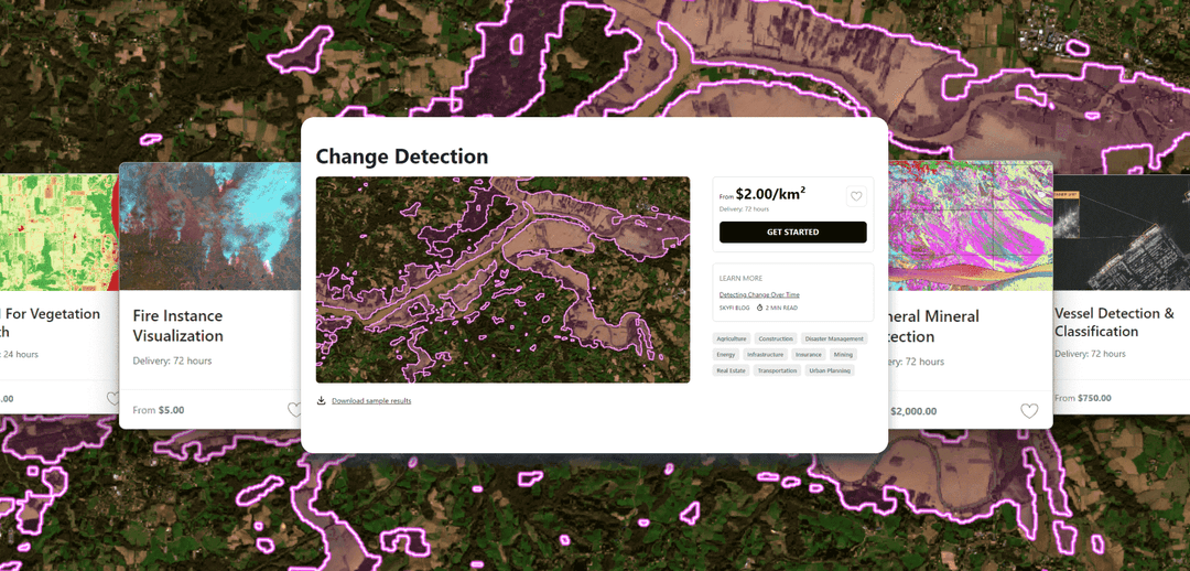
Analytics
Transform raw images and datasets into real answers with SkyFi Analytics. Our platform delivers pivotal insights across industries with advanced tools like object detection, hyperspectral signature analysis, and commodity stockpile measurement, empowering you to optimize operations and strategic planning.

Starting at $15
Commercial Imagery
Task a satellite to capture an image in the future of your area of interest in just a few clicks, set up recurring orders, and purchase existing images from our vast archive of data.

Available for FREE
Open Data
SkyFi's open data program provides comprehensive, free satellite data to broaden analytics use cases and provide crucial data for agriculture, urban planning, and disaster management.

Vantor
On-demand access to Vantor’s WorldView constellation, global basemaps, and 3D terrain models directly on SkyFi. Task new imagery and explore the world in unmatched detail.

Vantor Connect
On-demand access to Vantor’s full constellation and 3D models through Vantor Connect, powered by SkyFi. Schedule new Vantor tasking at 30 cm or 50 cm resolution, browse decades of Vantor archive imagery, or order Vantor 3D models to measure and visualize change with unmatched clarity. Designed for mission-critical workflows that demand precision and speed.

Maritime AIS Data
Track global vessel activity with SkyFi’s unified Maritime AIS data. The platform merges satellite, terrestrial, and shipborne AIS feeds to deliver worldwide visibility, anomaly detection, and dark-ship tracking for security, logistics, and compliance missions.

SkyFi Plugin for ATAK
Access satellite imagery with SkyFi's ATAK Plugin, which enables live tasking and analytics, giving field operators real-time situational awareness.

ICEYE US Direct
Get direct access to persistent monitoring with real-time SAR intelligence at your fingertips. Explore high-resolution Synthetic Aperture Radar (SAR) imagery on the new ICEYE US self-service platform powered by SkyFi, where you can search the extensive archive or task satellites to simplify acquisition and accelerate decision-making.

Planet Select
Experience rapid access to the Planet SkySat® constellation for both tasking and archive satellite imagery, powered by SkyFi’s infrastructure. Planet Select lets users monitor high-frequency optical data, order new SkySat captures, and analyze surface changes with ease, ideal for agriculture, infrastructure, and environmental intelligence at scale.
