Free Satellite Imagery & Open Data

Free, frequently updated global imagery
SkyFi brings free satellite imagery by integrating multiple satellite data sources across various satellite providers into one platform. Open data is easily accessible thanks to the SkyFi API and is available on the SkyFi web browser or mobile app. Users to can conveniently download frequently updated imagery from anywhere on the planet.
ACCESSIBILITY:
Browse and download from SkyFi on web or mobile.

TRANSPARENCY:
What you see is what you get. No hidden costs.

FREQUENTLY UPDATED:
Fresh global open data, updated every few days.

COST-EFFICIENCY:
Priceless insights at zero cost.

Open data gives you the power to make a real difference, with zero financial barrier.
Imagine tracking any corner of the Earth without leaving your desk. SkyFi's open satellite data lets you observe, analyze, and act, whether you're monitoring crops, mapping disasters, or planning infrastructure.
01

SENTINEL-1
Sentinel-1 is a European Earth observation mission capturing C-band radar (SAR) imagery at resolutions down to 5 m. Its two-satellite constellation covers the entire planet roughly every six days day or night, in any weather.
Free and consistently updated, Sentinel-1 is the global baseline for radar analysis, powering flood mapping, land-subsidence and infrastructure monitoring, and all-weather change detection.
02

SENTINEL-2
Sentinel-2 is a European Earth observation mission delivering medium-resolution (10 m) optical and multispectral imagery, refreshed across the globe every five days.
Its multispectral bands make Sentinel-2 a free source for NDVI and vegetation analysis, making it ideal for agriculture, forestry, and large-scale environmental monitoring.
03

SATELLOGIC
Satellogic's Free Sample Data brings high-resolution optical imagery, down to roughly 1 m, across more than 30 million km² of the planet to SkyFi at no cost.
It's a free way to evaluate commercial-grade optical detail before you task or buy, ideal for site assessment, monitoring, and feasibility studies.
04

URBAN SKY
Urban Sky captures ultra-high-resolution aerial imagery from reusable stratospheric balloons, with RGB detail down to 10 cm plus long-wave infrared thermal data.
Experience the Power of Open Data with SkyFi
$0
FREE TO DOWNLOAD
Global
Coverage
4
free data sources
<24
Hour Delivery Times
TAILORED DATA FOR A CONNECTED WORLD
SkyFi makes open data easily accessible


How It Works
Get Access to Near Real-Time Satellite Imagery
SkyFi simplifies access to high-resolution Earth observation data and analytics, providing an intuitive satellite imagery platform that transforms complex imagery data and analysis into quick answers with just a few clicks. SkyFi uses up-to-date technology so that you can view and buy high-resolution imagery up to 7.5 cm resolution, featuring near real-time updates (satellite images captured within the last 24 hours).
01


Signing Up for SkyFi Satellite Imagery
Start exploring without the need for a signup or subscription. SkyFi’s quick and straightforward process opens the door to the world of advanced Earth observation data. With access to optical, Synthetic Aperture Radar (SAR), multispectral, and aerial data, users can monitor the world from multiple sources and across all weather conditions. This multi-sensor approach provides reliable, high-quality intelligence for persistent monitoring, analysis, and decision-making.
02

Exploring and Ordering Precise Imagery
With virtual constellations of satellites and applied analytics, you’ll see why SkyFi is the world’s geospatial data hub. Browse the SkyFi satellite imagery marketplace, task a satellite, or apply geospatial analytics to an image. SkyFi’s updated image archive and ability to task a satellite for a new image allows for a focus on geometrically accurate images that reflect day-to-day operations of businesses and agencies all over the world.
03

Checking Out of SkyFi’s Imagery Marketplace
Simply add satellite images and analytics to your cart and check out. You’ll receive your order via email and within your SkyFi account.
More SkyFi Products
Starting at $5
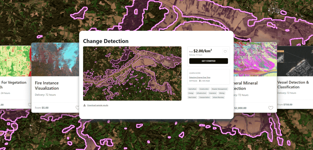
Analytics
Transform raw images and datasets into real answers with SkyFi Analytics. Our platform delivers pivotal insights across industries with advanced tools like object detection, hyperspectral signature analysis, and commodity stockpile measurement, empowering you to optimize operations and strategic planning.

Starting at $15
Commercial Imagery
Task a satellite to capture an image in the future of your area of interest in just a few clicks, set up recurring orders, and purchase existing images from our vast archive of data.

Available for FREE
Open Data
SkyFi's open data program provides comprehensive, free satellite data to broaden analytics use cases and provide crucial data for agriculture, urban planning, and disaster management.

Vantor
On-demand access to Vantor’s WorldView constellation, global basemaps, and 3D terrain models directly on SkyFi. Task new imagery and explore the world in unmatched detail.

Vantor Connect
On-demand access to Vantor’s full constellation and 3D models through Vantor Connect, powered by SkyFi. Schedule new Vantor tasking at 30 cm or 50 cm resolution, browse decades of Vantor archive imagery, or order Vantor 3D models to measure and visualize change with unmatched clarity. Designed for mission-critical workflows that demand precision and speed.

Maritime AIS Data
Track global vessel activity with SkyFi’s unified Maritime AIS data. The platform merges satellite, terrestrial, and shipborne AIS feeds to deliver worldwide visibility, anomaly detection, and dark-ship tracking for security, logistics, and compliance missions.

SkyFi Plugin for ATAK
Access satellite imagery with SkyFi's ATAK Plugin, which enables live tasking and analytics, giving field operators real-time situational awareness.

ICEYE US Direct
Get direct access to persistent monitoring with real-time SAR intelligence at your fingertips. Explore high-resolution Synthetic Aperture Radar (SAR) imagery on the new ICEYE US self-service platform powered by SkyFi, where you can search the extensive archive or task satellites to simplify acquisition and accelerate decision-making.

Planet Select
Experience rapid access to the Planet SkySat® constellation for both tasking and archive satellite imagery, powered by SkyFi’s infrastructure. Planet Select lets users monitor high-frequency optical data, order new SkySat captures, and analyze surface changes with ease, ideal for agriculture, infrastructure, and environmental intelligence at scale.

Want to Know More?
Contact usHow It Works
Get Access to Near Real-Time Satellite Imagery
SkyFi simplifies access to high-resolution Earth observation data and analytics, providing an intuitive satellite imagery platform that transforms complex imagery data and analysis into quick answers with just a few clicks. SkyFi uses up-to-date technology so that you can view and buy high-resolution imagery up to 7.5 cm resolution, featuring near real-time updates (satellite images captured within the last 24 hours).
01
Signing Up for SkyFi Satellite Imagery
Start exploring without the need for a signup or subscription. SkyFi’s quick and straightforward process opens the door to the world of advanced Earth observation data. With access to optical, Synthetic Aperture Radar (SAR), multispectral, and aerial data, users can monitor the world from multiple sources and across all weather conditions. This multi-sensor approach provides reliable, high-quality intelligence for persistent monitoring, analysis, and decision-making.
02
Exploring and Ordering Precise Imagery
With virtual constellations of satellites and applied analytics, you’ll see why SkyFi is the world’s geospatial data hub. Browse the SkyFi satellite imagery marketplace, task a satellite, or apply geospatial analytics to an image. SkyFi’s updated image archive and ability to task a satellite for a new image allows for a focus on geometrically accurate images that reflect day-to-day operations of businesses and agencies all over the world.
03
Checking Out of SkyFi’s Imagery Marketplace
Simply add satellite images and analytics to your cart and check out. You’ll receive your order via email and within your SkyFi account.
Only Pay for What You Need with Lowest-in-Market, Transparent Pricing
| Single Archive Image | Single Tasking Image |
Starting at $ 15 *High-resolution optical image | Starting at $ 200 *High-resolution optical image |
Comprehensive Coverage
Commercial and open data options available
High Precision & Resolution
Ideal for detailed analysis and strategic planning
Cost-Effective Accessibility
Meets any budget with low minimum order sizes
Diverse Data Types
From optical to SAR, and multispectral to stereo, find the right tools for your job
All-in-one Platform
Get the data and analytics you need in one place.
More SkyFi Products
Starting at $5
Analytics
Transform raw images and datasets into real answers with SkyFi Analytics. Our platform delivers pivotal insights across industries with advanced tools like object detection, hyperspectral signature analysis, and commodity stockpile measurement, empowering you to optimize operations and strategic planning.
Starting at $15
Commercial Imagery
Task a satellite to capture an image in the future of your area of interest in just a few clicks, set up recurring orders, and purchase existing images from our vast archive of data.
Available for FREE
Open Data
SkyFi's open data program provides comprehensive, free satellite data to broaden analytics use cases and provide crucial data for agriculture, urban planning, and disaster management.
Vantor
On-demand access to Vantor’s WorldView constellation, global basemaps, and 3D terrain models directly on SkyFi. Task new imagery and explore the world in unmatched detail.
Vantor Connect
On-demand access to Vantor’s full constellation and 3D models through Vantor Connect, powered by SkyFi. Schedule new Vantor tasking at 30 cm or 50 cm resolution, browse decades of Vantor archive imagery, or order Vantor 3D models to measure and visualize change with unmatched clarity. Designed for mission-critical workflows that demand precision and speed.
Maritime AIS Data
Track global vessel activity with SkyFi’s unified Maritime AIS data. The platform merges satellite, terrestrial, and shipborne AIS feeds to deliver worldwide visibility, anomaly detection, and dark-ship tracking for security, logistics, and compliance missions.
SkyFi Plugin for ATAK
Access satellite imagery with SkyFi's ATAK Plugin, which enables live tasking and analytics, giving field operators real-time situational awareness.
ICEYE US Direct
Get direct access to persistent monitoring with real-time SAR intelligence at your fingertips. Explore high-resolution Synthetic Aperture Radar (SAR) imagery on the new ICEYE US self-service platform powered by SkyFi, where you can search the extensive archive or task satellites to simplify acquisition and accelerate decision-making.
Planet Select
Experience rapid access to the Planet SkySat® constellation for both tasking and archive satellite imagery, powered by SkyFi’s infrastructure. Planet Select lets users monitor high-frequency optical data, order new SkySat captures, and analyze surface changes with ease, ideal for agriculture, infrastructure, and environmental intelligence at scale.