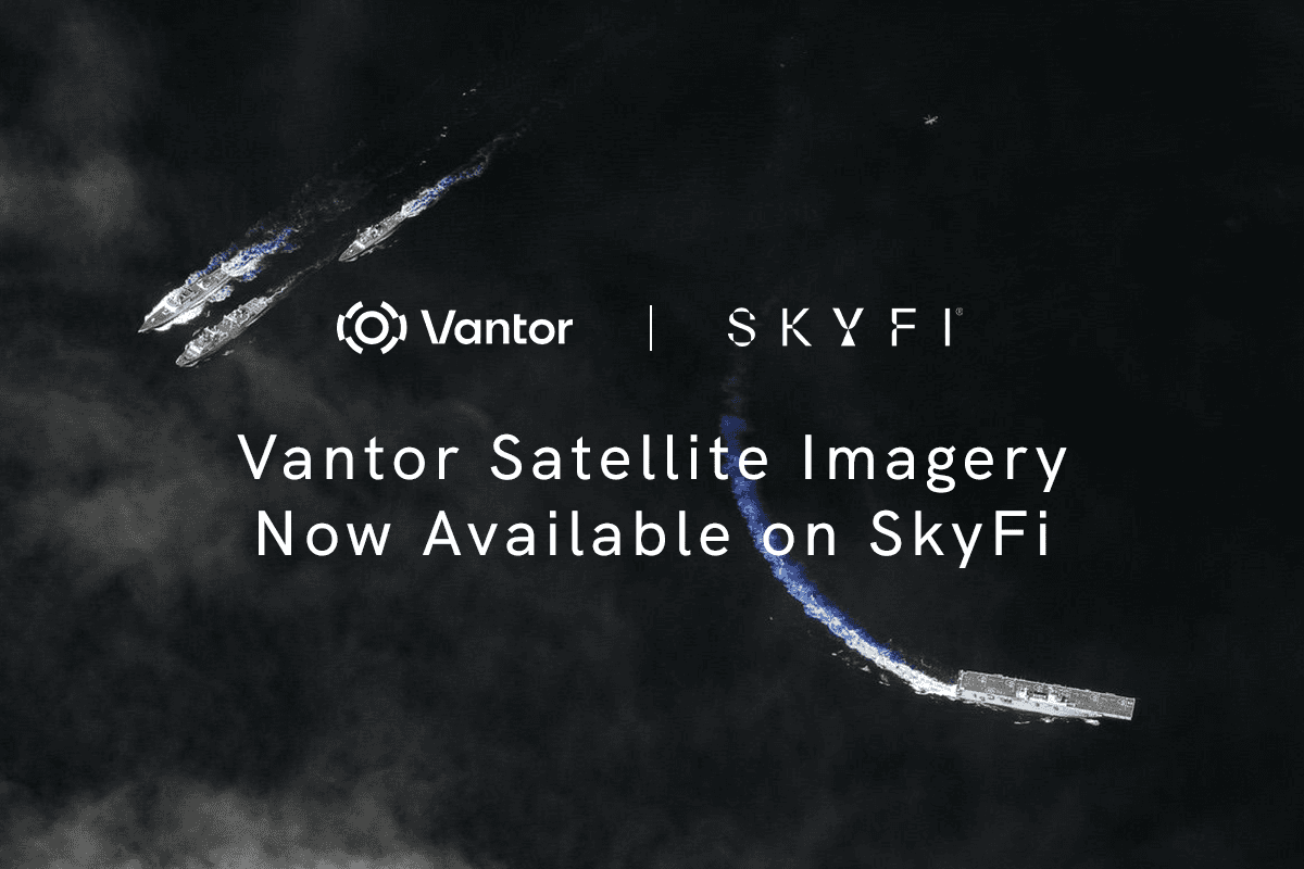
Vantor (Formerly Maxar) Satellite Imagery Now Available On Demand Through SkyFi
The World's Most Advanced Satellite Constellation, Now Accessible to Everyone
Vantor (formerly known as Maxar) operates what is widely recognized as the most capable commercial satellite imaging fleet in orbit. For years, accessing that constellation meant enterprise sales teams, long-term licensing agreements, and steep minimum order requirements.
SkyFi is changing that. Through a direct integration with the Vantor Hub, SkyFi now provides on-demand access to Vantor's full constellation and its archive of over two decades of high resolution satellite imagery. Users can search historical collections, task satellites for new captures, and order data online in minutes with no complex contracts, no minimum spend, and no sales calls required.
Whether you are a hedge fund analyst tracking port activity, a utility company inspecting pipeline corridors, or a city planner updating land use maps, SkyFi puts Vantor's industry-leading satellite imagery resolution at your fingertips.
Learn more about the SkyFi and Vantor integration
What Is Vantor?
Vantor, the satellite imaging division formerly operating as Maxar Intelligence under Maxar Technologies, is a global leader in commercial electro-optical Earth observation. The constellation includes WorldView Legion, WorldView-3, WorldView-2, GeoEye-1, and WorldView-1, operating in both sun-synchronous and mid-inclination orbits for maximum global coverage. Together, these satellites capture more than one billion square kilometers of imagery per year, and the 20+ year archive is one of the most comprehensive commercial imaging libraries in existence.
Daily collection capacity includes approximately 7 million square kilometers of total imaging and more than 3.5 million square kilometers at 30 cm resolution. WorldView Legion alone enables up to 15 daily revisits of the same location on Earth. The constellation also offers the most spectral diversity commercially available, with up to 8 multispectral bands plus shortwave infrared (SWIR) on WorldView-3, supporting applications from crop health analysis to material identification. High geolocational accuracy ensures imagery aligns precisely with ground coordinates for seamless GIS integration, and in-track stereo collection supports three-dimensional terrain interpretation. SkyFi and Vantor are also working to bring advanced 3D terrain models and global basemap products to the platform in the near future.
How the Partnership Works
SkyFi integrates directly with the Vantor Hub, creating a seamless pipeline from constellation to end user. Vantor operates as the data provider while SkyFi serves as the procurement platform, API layer, and analytics environment. This eliminates the offline ordering, email negotiations, and multi-week contracting cycles that historically defined Maxar imagery procurement.
Available Satellite Imagery
Archive (Historical): Search and order from Vantor's 20+ year archive with synchronous delivery. Resolution tiers include 15 cm HD, 30 cm HD, 30 cm, and 50 cm. Minimum area of interest: just 1 km². HD products are created by applying Vantor's proprietary HD technology to native 30 cm imagery. This process intelligently increases pixel count through a complex mathematical model tuned specifically to Vantor's sensors. The result is sharper, better-defined features that help both human analysts and automated algorithms extract more meaningful information from each image.
Tasking (New Collections): Users can schedule future satellite captures at 30 cm or 50 cm resolution, with a minimum area of interest of 25 km². The constellation's combination of sun-synchronous and mid-inclination orbits, along with rapid retargeting agility across all satellites, means more collection windows over any given location, improving tasking feasibility and reducing wait times. With up to 15 daily revisits possible through WorldView Legion, even time-sensitive tasking requests benefit from frequent orbital access.
Procurement
Fully online. Browse, select, and purchase via SkyFi's web platform, mobile app, or API. No sales cycle required.
Pay as you go. Standalone transactions with no subscriptions, annual commitments, or minimum spend.
SkyFi Pro. API-driven automation, customizable revisit scheduling, and budget management tools for organizations with complex workflows
Industry Applications
The integration lowers the barrier to high resolution geospatial imagery across sectors. Here is how different industries are using it.
Explore SkyFi industry solutions
Defense and Intelligence
Vantor imagery supports operational awareness, mission planning, border surveillance, and maritime monitoring. Intraday revisit and rapid retargeting deliver near-real-time intelligence without airborne assets, and SkyFi's self-serve model accelerates procurement for units that cannot wait on traditional contracting.
Financial Services
Hedge funds and analysts use satellite imagery to monitor port congestion, commodity stockpiles, retail activity, and facility operations. This allows them to gain access to market-moving insights before traditional reporting channels. Vantor's resolution and revisit frequency provide the granularity that quantitative strategies demand.
Insurance
Insurers use near-real-time tasking to assess property damage after disasters without sending adjusters into hazardous areas. Vantor's 20+ year archive supports historical risk modeling, and upcoming 3D terrain products on SkyFi will enable more precise flood and wildfire exposure analysis at the property level.
Energy and Utilities
Utilities monitor pipelines, transmission lines, and distribution networks for vegetation encroachment and structural issues. Renewable energy developers use high resolution imagery for site evaluation, and will soon leverage 3D terrain data on SkyFi for optimal turbine and solar panel placement.
Environmental Monitoring
Vantor's two-decade archive provides a powerful baseline for tracking deforestation, glacial retreat, and habitat loss. High resolution imagery delivers the ground truth needed to verify carbon sequestration projects and environmental compliance, while SkyFi's recurring tasking supports ongoing monitoring without large upfront commitments.
Agriculture
Farmers monitor crop health, identify irrigation inefficiencies, and optimize inputs at scale. Agricultural firms and insurers can use multispectral imagery from Vantor to analyze historical field performance under similar weather patterns to forecast future outcomes more accurately.
Mining
Operators track excavation progress, waste-pile stability, and tailings management at remote sites. High resolution imagery documents that operations remain within permitted boundaries and supports environmental compliance reporting.
Construction and Real Estate
Developers track construction progress across multiple sites, identifying delays and material issues. Architects use imagery to integrate designs into existing topography. As 3D terrain and basemap products reach SkyFi, workflows will expand to include elevation modeling and volumetric analysis.
Government and Urban Planning
City governments use satellite imagery for land use mapping, census modernization, and infrastructure planning. During disasters, agencies task Vantor satellites through SkyFi for immediate imagery of affected zones. Low procurement barriers make satellite intelligence accessible even to smaller municipal agencies.
Frequently Asked Questions
What is the relationship between Vantor and Maxar? Vantor is the current name of the satellite imaging business formerly known as Maxar Intelligence under Maxar Technologies. The constellation, archive, and capabilities are the same. All are now accessible through SkyFi under the Vantor brand.
What satellite imagery resolution is available? Four tiers: 15 cm HD, 30 cm HD, 30 cm, and 50 cm. HD products use Vantor's proprietary technology to intelligently enhance native 30 cm imagery, producing sharper detail and better-defined features.
What is the minimum order size? Archive starts at 1 km²; tasking at 25 km² – among the lowest commercially available minimums at this resolution class.
Do I need a contract? No. SkyFi is pay-as-you-go. SkyFi Pro is available for API access, custom revisit scheduling, and advanced delivery options.
How far back does the archive go? Over 20 years of global imagery for long-term change detection and historical analysis.
Can I integrate SkyFi into existing workflows? Yes. SkyFi's API supports automated searches, tasking, and delivery. The platform integrates directly with the Vantor Hub, and SkyFi Pro enables integration into GIS, analytics, or intelligence pipelines without in-house geospatial expertise.
Get Started With Vantor Imagery on SkyFi
SkyFi's integration with Vantor makes it possible to access the full constellation on your terms, online, and at any scale.
Explore Vantor archive imagery on SkyFi
Learn more about SkyFi pricing
SkyFi is a self-service Earth intelligence platform providing on-demand access to satellite imagery, SAR data, analytics, and more from 50+ providers. No contracts required. Create a free account.
Ileisa Lambert is SkyFi’s Director of Partnerships, where she leads a global ecosystem of satellite, data, and analytics providers, expanding access to Earth intelligence across commercial and government markets.


