
Agriculture Satellite Imagery
In agriculture, it is critical to optimize resource use and enhance crop productivity. SkyFi's detailed imagery and analytics give you the data required for effective land management and sustainable farming.
CROP MONITORING AND MANAGEMENT:
- Plan and assess the effectiveness of crop rotation strategies.
- Detect pest and disease outbreaks for targeted treatment.
- Monitor phenological stages for optimal harvesting times.
RESOURCE OPTIMIZATION:
- Improve fertilizer and pesticide application effects over time.
- Optimize agrochemical usage to reduce environmental impact.
- Assess the impact of farming practices on soil health.
SUSTAINABILITY AND ENVIRONMENTAL:
- Support sustainable land management practices to monitor impact on surrounding ecosystems.
- Monitor water usage and efficiency in irrigation practices.
- Assess the impact of agricultural policies on land use and sustainability.
AGRO-ECONOMIC PLANNING:
- Analyze crop yield data for supply chain optimization.
- Support rural development planning with land use analysis.
- Monitor agricultural markets for price setting and subsidies.
Innovate Farming with SkyFi
SkyFi provides unmatched agricultural data using high-resolution satellite imagery and robust analytics. It empowers farmers with the information necessary to make informed decisions and achieve higher efficiency, including monitoring crop health and predicting yields.
01

Crop Monitoring
Accurately track crop health and growth stages with SkyFi’s high-resolution satellite imagery. By identifying early signs of stress, disease, or pest infestations, farmers can take timely actions to protect their crops and maximize yield.
02

Climate Impact Analysis
Assess the impact of climate change on agriculture over time and gain near-real time insights into the impact of weather and disasters on crop yield.
03

Yield Prediction
Utilize SkyFi’s historic data to understand indicators for crop yields over time with high accuracy. By analyzing historical and current data, SkyFi helps farmers anticipate harvest outcomes and make strategic decisions to enhance productivity.
04

Aerial Mapping
Create detailed maps of agricultural lands with SkyFi’s aerial imaging capabilities. These maps assist in planning and managing farm operations, from field layout to precision planting, ensuring optimal land use and efficiency.
Advanced Analytics for Farming Success
SkyFi Analytics Applied to Agriculture
05

NDVI (Normalized Difference Vegetation Index):
Use the power of the near infrared band to gain further insight into vegetation health. NDVI analytics help detect crop stress early, allowing for prompt intervention.
06

Land Use Classification:
Classify different land types and monitor changes over time. This helps in understanding land utilization patterns and planning sustainable agricultural practices.
07

DSM (Digital Surface Model):
Understand the elevation of terrain to evaluate landscape features and maximize effective land management and irrigation planning.
08

Soil Moisture Analysis:
Monitor soil moisture levels using SAR technology. This analysis provides a comprehensive view of soil conditions, enabling precise irrigation and drought management.
TAILORED DATA FOR MODERN FARMING
SkyFi provides the agricultural sector with the precise data and analytics needed to enhance crop management, improve resource efficiency, and support sustainable practices.


How It Works
Get Access to Near Real-Time Satellite Imagery
SkyFi simplifies access to high-resolution Earth observation data and analytics, providing an intuitive satellite imagery platform that transforms complex imagery data and analysis into quick answers with just a few clicks. SkyFi uses up-to-date technology so that you can view and buy high-resolution imagery up to 7.5 cm resolution, featuring near real-time updates (satellite images captured within the last 24 hours).
01


Signing Up for SkyFi Satellite Imagery
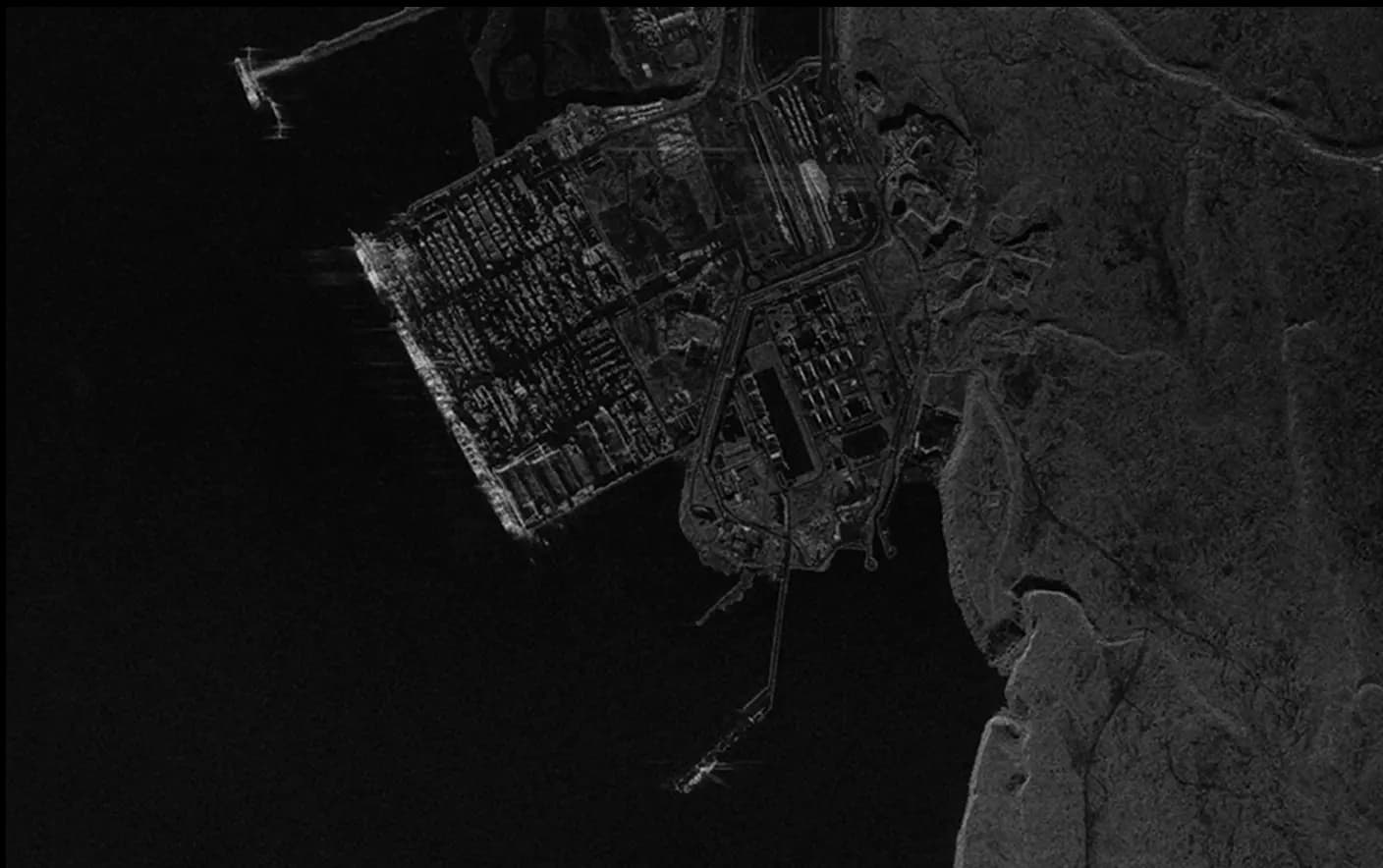
Start exploring without the need for a signup or subscription. SkyFi’s quick and straightforward process opens the door to the world of advanced Earth observation data. With access to optical, Synthetic Aperture Radar (SAR), multispectral, and aerial data, users can monitor the world from multiple sources and across all weather conditions. This multi-sensor approach provides reliable, high-quality intelligence for persistent monitoring, analysis, and decision-making.
02

Exploring and Ordering Precise Imagery
With virtual constellations of satellites and applied analytics, you’ll see why SkyFi is the world’s geospatial data hub. Browse the SkyFi satellite imagery marketplace, task a satellite, or apply geospatial analytics to an image. SkyFi’s updated image archive and ability to task a satellite for a new image allows for a focus on geometrically accurate images that reflect day-to-day operations of businesses and agencies all over the world.
03

Checking Out of SkyFi’s Imagery Marketplace
Simply add satellite images and analytics to your cart and check out. You’ll receive your order via email and within your SkyFi account.
Only Pay for What You Need with Lowest-in-Market, Transparent Pricing
| Single Archive Image | Single Tasking Image |
Starting at $ 15 *High-resolution optical image | Starting at $ 200 *High-resolution optical image |
Comprehensive Coverage
Commercial and open data options available
High Precision & Resolution
Ideal for detailed analysis and strategic planning
Cost-Effective Accessibility
Meets any budget with low minimum order sizes
Diverse Data Types
From optical to SAR, and multispectral to stereo, find the right tools for your job
All-in-one Platform
Get the data and analytics you need in one place.
Swipe to see more
25.00 km
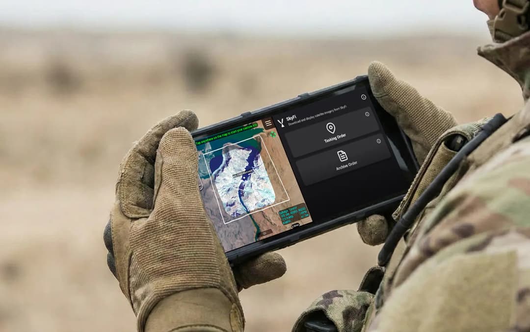
Military & Defense
Defense and security teams use SkyFi to turn satellite imagery and multi-domain sensor data into trusted operational intelligence. Access 150+ satellite sources, apply AI-enabled analytics, and deliver high-fidelity insights directly into COP systems and ATAK for faster, mission-ready decision-making.
Learn More