
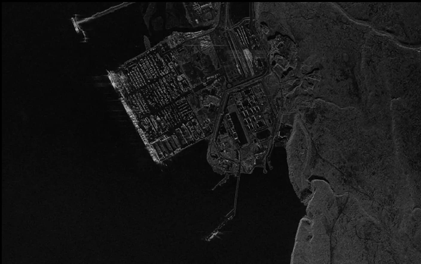
Mining Satellite Imagery
- Locate prospective mining areas through detailed imagery.
- Survey minerals and define resource extent.
- Evaluate local ecosystems for responsible exploration.
- Track changes in terrain and manage stock with DEMs.
- Gauge efficiency and progress with frequent surveys.
- Observe site growth and infrastructural evolution.
- Gauge impact severity to direct aid and resources.
- Plan emergency service routes with real-time data.
- Mobilize response units based on situational analysis.
- Design optimal transportation routes using high-res terrain data.
- Identify infrastructure needs for site development and logistics.
- Analyze access points to ensure safe and efficient operation flow.

Exploration and Targeting:
Remote Survey & Mineral Detection: Easily survey sites remotely to analyze geological features, identify mineral deposits, and understand subsurface geology. Reduce personnel entry in hazardous areas, identify and prioritize high potential zones, and cross reference satellite data with manual surveys for maximum efficiency to direct ground efforts only where vital. Receive updated and near-real time imagery for better-informed decisions and optimized resource management.
Terrain Assessment: Cover more ground with less effort, leverage satellite data and derived elevation models for better terrain understanding to identify potential mining pits, optimize logistics, and reduce operational costs.

Site Operations and Monitoring:
Infrastructure Analysis: Utilize EO data and analytics to optimize site planning and ongoing operations, probe infrastructure, and track landscape changes, such as slope stability, to ensure structural integrity.
Worker Safety: Detect potential hazards, including landslides and infrastructure damage, to maintain a safe working environment.
Environmental Impact: Monitor expansion, waste, vegetation health, and water quality to support sustainable mining practices.

Reclamation and Compliance:
Ecological Restoration: Support environmental and compliance monitoring post-mining, especially for reclamation efforts. SkyFi data and analytics supports transparent environmental reporting and the development of mitigation processes for renewable and sustainable operations.
Topography and Vegetation Analysis: Use elevation models and indices analytics such as NDVI for effective reclamation and re-vegetation efforts to assess vegetation vigor, density, and overall health, as well as NDWI to monitor standing water bodies, such as lakes, reservoirs, and wetlands.

Analytics For Today's Mining Industry:

Reveal The Invisible with Hyperspatial Mineral Analysis

General Mineral Detection

Targeted Lithium Detection

Custom Mineral Detection


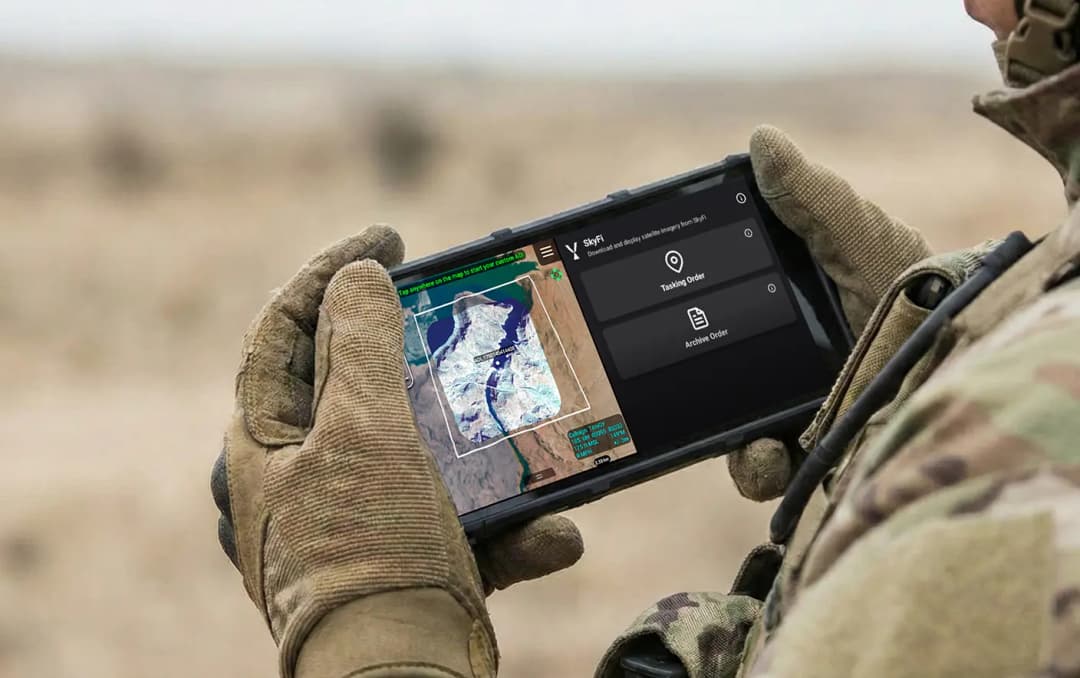
Get Access to Near Real-Time Satellite Imagery


Only Pay for What You Need with Lowest-in-Market, Transparent Pricing
| Single Archive Image | Single Tasking Image |
Starting at $ 15 *High-resolution optical image | Starting at $ 200 *High-resolution optical image |
Comprehensive Coverage
High Precision & Resolution
Cost-Effective Accessibility
Diverse Data Types
All-in-one Platform
Military & Defense
