High-Resolution Space: Transforming Precision and Innovation Across Industries
TL;DR
High-resolution space technology is redefining precision in satellite imaging, astronomy, and geographic information systems (GIS).
Industries such as defense, environmental science, and urban planning benefit greatly from its advancements.
Challenges like cost, data storage, and privacy are being addressed through innovation.
Cutting-edge technologies, including satellite sensors and telescopes, drive the field forward.
Future trends suggest broader accessibility and enhanced capabilities for a variety of applications.
What Is High-Resolution Space?
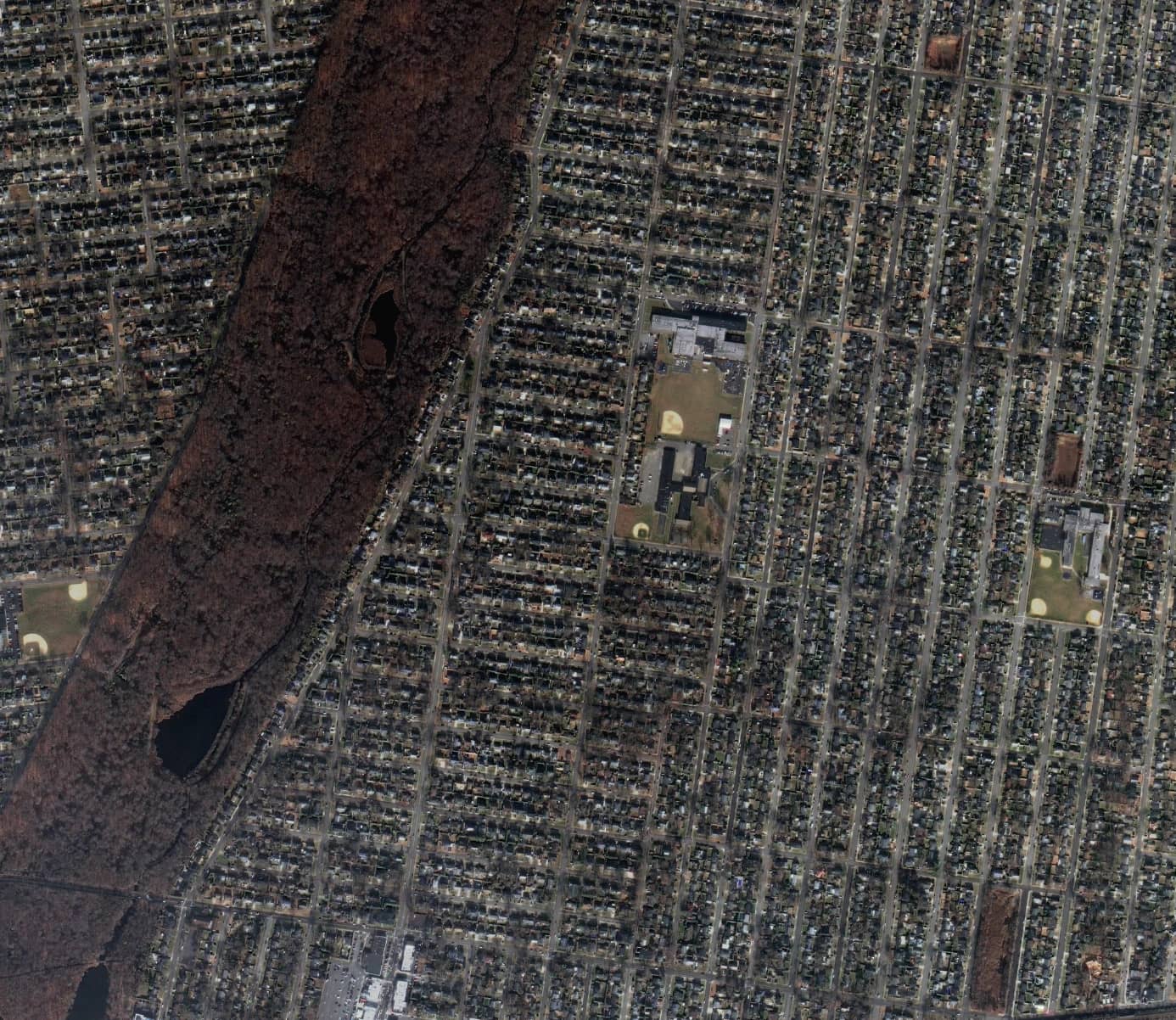
High-resolution space refers to advanced technologies and systems designed to capture detailed spatial data from satellites, telescopes, and other imaging platforms. This data often encompasses imagery with fine granularity, enabling users to discern minute details that were previously unattainable. High-resolution space technology is a cornerstone for precision in mapping, environmental monitoring, and scientific research.
Why Is High-Resolution Space Important?
High-resolution space technology plays a pivotal role in improving accuracy and decision-making across various sectors. In satellite imaging, it allows for the detection of subtle changes in landscapes, aiding environmental conservation efforts. In astronomy, high-resolution optics enable the observation of distant celestial bodies with unprecedented clarity, uncovering secrets of the universe. Urban planning also benefits from detailed spatial data, supporting infrastructure development and efficient resource allocation. This level of detail fosters data-driven decisions and enhances operational efficiency in countless applications.
Industries Benefiting From High-Resolution Space Technology
High-resolution space technology has revolutionized industries such as:
Defense and Security: Accurate geospatial intelligence aids in surveillance, border control, and strategic planning.
Environmental Science: Satellite imagery monitors deforestation, water resources, and climate change with precision.
Urban Development: Cities rely on detailed mapping for zoning, transportation planning, and disaster management.
Agriculture: Farmers optimize crop yields using high-resolution data to monitor soil health and irrigation needs.
Research and Academia: Universities and institutions utilize detailed spatial datasets for cutting-edge studies in various disciplines.
Advancements in High-Resolution Space Technology
Recent advancements in high-resolution space technology are driving innovation. Satellite sensors now capture data at resolutions as fine as 30 centimeters per pixel, enabling a clear view of Earth's surface. Instruments like the James Webb Space Telescope extend this precision to astronomy, unveiling details of galaxies and planetary systems. The integration of artificial intelligence and machine learning further enhances data processing, allowing users to analyze vast datasets more efficiently. These advancements are shaping the future of spatial technology, making it more accessible and impactful.
Challenges in High-Resolution Space Technology
Despite its benefits, high-resolution space technology faces several challenges. Cost remains a significant barrier, as the development and deployment of advanced satellites and instruments require substantial investment. Data storage and management are also critical issues, given the sheer volume of high-resolution imagery generated daily. Privacy concerns arise as detailed imaging technologies become more prevalent, prompting calls for stricter regulations. Addressing these challenges is essential to unlocking the full potential of high-resolution space.
Comparing High-Resolution Space to Other Spatial Resolutions
High-resolution space stands out due to its unparalleled detail and precision. Unlike medium and low-resolution technologies, which are suitable for broader overviews, high-resolution systems capture intricate details such as individual buildings, vehicles, or natural features. This capability makes them indispensable for applications requiring exactness, such as emergency response or archaeological studies. The differentiation lies in the scale of detail and the specificity of insights provided.
Practical Applications of High-Resolution Space Technology
The applications of high-resolution space technology are vast and varied:
Disaster Management: Rapid assessment of affected areas during natural disasters supports timely relief efforts.
Climate Monitoring: Detailed imagery tracks changes in polar ice caps and forest cover.
Resource Exploration: High-resolution data guides mining and oil exploration, reducing environmental impact.
Infrastructure Development: Detailed mapping aids in constructing roads, bridges, and utilities.
Wildlife Conservation: Monitoring habitats and migration patterns ensures effective conservation strategies.
Effective Implementation of High-Resolution Space Technology
To effectively implement high-resolution space technology, organizations must adopt strategic approaches. Investing in the right tools, such as advanced imaging platforms and data analytics software, is crucial. Training personnel to interpret and utilize high-resolution data ensures optimal outcomes. Collaboration with industry leaders and research institutions can provide additional expertise. Moreover, staying informed about technological advancements and best practices facilitates seamless integration into operations.
The Future of High-Resolution Space Technology
The future of high-resolution space technology promises exciting developments. Emerging trends include miniaturized satellites capable of capturing high-resolution data at lower costs. Enhanced data-sharing platforms and open-access policies are expanding the accessibility of spatial information. Innovations in sensor technology and AI-driven analytics will further refine the capabilities of high-resolution systems. These advancements are expected to democratize access to high-quality spatial data, enabling broader applications across industries.
Staying Updated on High-Resolution Space Developments
To keep pace with the rapidly evolving field of high-resolution space technology, readers can explore trusted resources and platforms. Websites like SkyFi.com provide insights into geospatial advancements and applications. Joining professional communities and attending industry conferences offers valuable opportunities to network and learn from experts. Subscribing to academic journals and technology blogs ensures continuous access to the latest research and trends.
High-resolution space technology represents a transformative force across industries, driving precision, innovation, and informed decision-making. As advancements continue to reshape the field, its impact will only grow, unlocking new possibilities and addressing global challenges.