Monitoring The Remote Energy Network: Oil Rigs
Imagine standing on a serene beach, the gentle waves lapping at your feet, while beneath the surface, a network of offshore oil platforms, drilling rigs, and infrastructure lies hidden. These unseen structures are crucial for modern energy production. In this blog, we examine how satellite imagery is changing the game in offshore oil exploration and monitoring, drawing from three expert perspectives.
First, let’s cover some topics discussed in this article.
Can you see oil rigs in Google Maps?
No, oil rigs are not visible in Google Maps as the platform shows the underwater terrain or bathymetry of ocean areas. What you see in the ocean area is the seafloor, not the structures above it. For coastal and land areas, Google Maps does provide aerial or satellite images.
SkyFi offers a more comprehensive solution. With SkyFi’s advanced satellite imagery, you can monitor offshore oil platforms and infrastructure with high precision and accuracy, which is not possible through Google Maps.
How do you identify features in satellite imagery?
The interpretation of satellite imagery involves analyzing various characteristics of objects in reference to spectral bands. Key elements include shape, size, pattern, tone, texture, shadows, location, association, and resolution. These factors are crucial for visual analysis and accurate identification. SkyFi's platform simplifies this process, offering advanced tools and analytics to help you interpret and utilize satellite data effectively.
Where can I find satellite imagery?
There are several sources for accessing free satellite imagery. Some notable providers include USGS EarthExplorer, NASA Earthdata Search, INPE Image Catalog, Google Earth, and NOAA Data Access Viewer. These platforms offer a variety of imagery for different needs.
Additionally, SkyFi offers a comprehensive platform where users can access both free and paid satellite imagery, ensuring a transparent and user-friendly experience. SkyFi not only provides an extensive database of existing imagery but also allows you to task new imagery tailored to your specific needs, making it a versatile tool for various applications.
How do they find oil offshore?
Offshore oil and gas are found using geophysical surveys that bounce soundwaves off the seafloor. These surveys are conducted with various air-chambers filled with compressed air to generate the necessary energy in water. The reflections from the seafloor help in identifying potential oil and gas deposits.
SkyFi enhances this traditional method by offering high-resolution satellite imagery and advanced geospatial analytics, providing additional layers of data that can significantly improve the accuracy and efficiency of locating offshore resources.
Is there an app to find drilling rigs?
Yes, the Enverus Rigs Mobile App is a tool that provides comprehensive datasets covering all aspects of the energy industry, including rigs, permits, DUCs (Drilled but Uncompleted wells), frac crews, well pads, M&A data, and international layers.
For a broader range of applications and more detailed imagery, SkyFi’s platform is a powerful alternative, offering both existing satellite images and the ability to task new ones specifically for your needs.
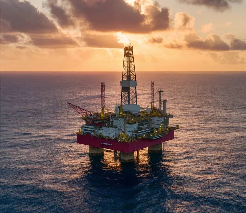
Where are you most likely to see an oil rig?
Currently, there are approximately 1,470 offshore oil rigs globally, with significant concentrations in certain regions. North America, particularly the Gulf of Mexico, Mexico, and Brazil, hosts a large number of these rigs, making it a prominent area for offshore oil production.
SkyFi’s global coverage ensures that you can monitor and analyze oil rigs and other critical infrastructure anywhere in the world, providing up-to-date and precise data.
Satellite Imagery in Oil and Gas Exploration
Satellite imagery offers significant benefits in the oil and gas industry. It allows petroleum experts to make informed decisions, reducing risks and costs. SkyFi provides high-resolution imagery and digital surface models essential for identifying geological features and mapping rock formations. These capabilities extend to offshore regions, aiding in detecting seismic lines, well locations, and offshore oil seepage. This noninvasive mapping technique ensures environmental preservation while improving efficiency in pipeline planning and hydrocarbon detection.
Detecting Offshore Drilling Rigs
The Caspian Sea, a key area for offshore oil production, presents unique monitoring challenges. Traditional methods of detection have limitations in accuracy and efficiency. A study introduced a method using the Normalized Difference Water Index (NDWI) to identify offshore drilling rigs from satellite images. By creating cloud-free NDWI composites and applying specific classification rules, researchers developed a method that significantly improves detection accuracy. This approach offers a scalable solution for monitoring offshore oil and gas activities worldwide.
SkyFi’s user-friendly platform has made accessing NDWI analytics easy and affordable. Select an archive image, open data, or task an image to perform the analysis and check out in a couple of clicks.
Mapping Offshore Infrastructure
Our oceans remain less understood compared to terrestrial spaces. Using Synthetic Aperture Radar (SAR) imagery, SkyFi's platform empowers you to identify stationary structures in the ocean accurately. By distinguishing between vessels and infrastructure, this technology improves our ability to monitor marine activities and environmental impacts.
Satellite imagery is changing offshore oil exploration and monitoring. From reducing exploration risks to improving environmental protection, the benefits are numerous. As SkyFi and its partners continue to innovate, the future promises more precise and comprehensive monitoring of offshore resources.
The Future of Remote Sensing and Oil Rigs
SkyFi is dedicated to making Earth observation data accessible and useful for industries, researchers, and policymakers. By understanding the hidden depths of our oceans, we can better manage the resources that fuel our world.
Satellite imagery is changing offshore oil exploration and monitoring. From reducing exploration risks to improving environmental protection, the benefits are numerous. As SkyFi and its partners continue to innovate, the future promises more precise and comprehensive monitoring of offshore resources.