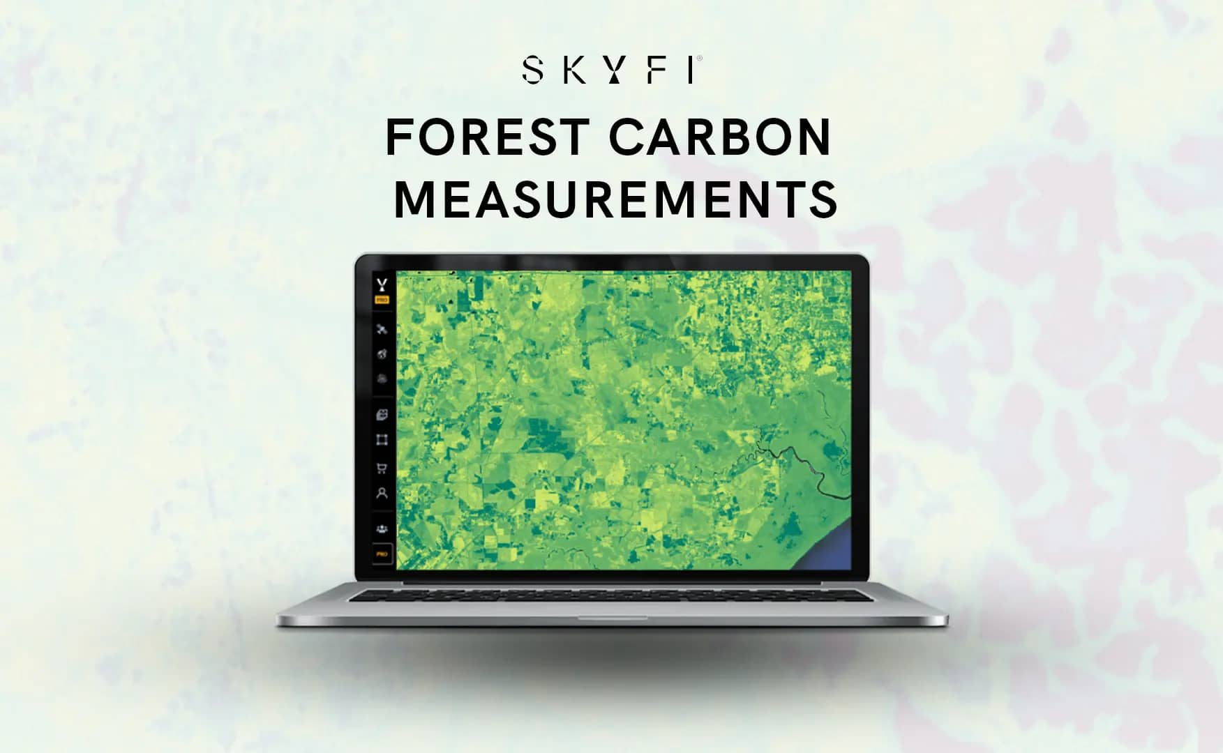
SkyFi Brings Planet’s Global Forest Carbon Analytics to Platform
We have expanded our Earth Observation (EO) capabilities by adding Planet’s comprehensive Forest Carbon Measurement product to our platform. This advanced tool provides accurate, high-resolution data on forest carbon levels, canopy heights, and canopy coverage worldwide, making it easier for organizations to manage their environmental projects effectively. Click here for easy access to Forest Carbon Measurements.
ICYMI: Earlier this year, Planet released Single Order Tasking, a pay-as-you-go self-service platform, powered by SkyFi.
Understanding the Forest Carbon Measurement Solution
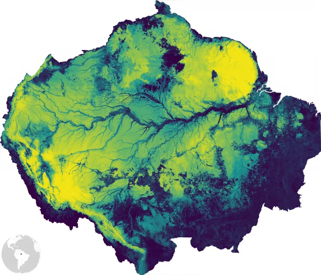
The Forest Carbon Measurement product offers quarterly updated data at two distinct resolutions. It employs satellite imagery combined with precise laser-based measurements and advanced machine learning techniques to accurately assess forests around the globe. The result is detailed tracking from broad regional changes down to individual trees. This level of detail minimizes the necessity for extensive fieldwork and costly aerial surveys.
Detailed Monitoring at Multiple Resolutions
Our Forest Carbon Measurement is available in two resolutions to meet diverse monitoring needs:
30-meter resolution: This broader view is suitable for extensive evaluations, including large-scale forestry management, general portfolio assessments, or due diligence analyses over wide areas.
3-meter resolution: Designed for detailed analysis, this resolution provides precise monitoring capabilities for smaller, localized projects or individual tree-level assessments.
This flexibility ensures organizations can select the resolution that best matches their project requirements, whether it involves extensive forest regions or focused, smaller-scale efforts.
Use Cases: Making Practical Environmental Impact
Our Forest Carbon Measurement solution supports multiple critical applications:
Carbon Accounting and Offset Management: Organizations involved in carbon trading or offset projects can use the data for reliable carbon stock assessments. This helps ensure accurate reporting and compliance without extensive manual measurement processes.
Deforestation Monitoring and Regulation Compliance: Detailed forest change data is crucial for organizations needing to demonstrate compliance with environmental regulations such as the EU Deforestation Regulation (EUDR). Reliable and regularly updated data can help identify and address deforestation events efficiently.
Conservation and Biodiversity Management: Environmental organizations and conservation efforts can track forest degradation and regeneration effectively. Precise monitoring helps identify threats to biodiversity and guides timely interventions to protect and restore ecosystems.
Benefits Across Industries
Our platform simplifies the complexity associated with satellite imagery and geospatial data, benefiting multiple sectors. Organizations in agriculture can better understand and manage crop impacts on forests, while the finance sector can utilize accurate forest data for risk assessments. Urban planners can monitor green spaces and urban forests effectively, and energy companies can ensure environmental compliance near infrastructure projects. Similarly, defense organizations benefit from detailed and timely environmental data for mission planning and strategic environmental assessments.
How the Measurement Process Works
The Forest Carbon Measurement combines satellite-derived imagery with airborne and spaceborne LiDAR (Light Detection and Ranging) data. LiDAR technology uses laser pulses to measure forest structures precisely. These detailed measurements are integrated with satellite imagery and processed through advanced machine learning models to produce accurate estimates of forest carbon density, canopy height, and coverage. Data is continually updated every quarter, providing the most current forest measurements.
This measurement process eliminates many of the traditional challenges associated with forest monitoring, such as the time-consuming and costly physical surveys previously necessary to gather similar data.
Why Accurate Forest Carbon Measurement Matters
Accurate and regular measurement of forest carbon is vital for global climate strategies. Forests significantly absorb carbon dioxide, and accurate data helps quantify this benefit clearly and reliably. With dependable measurements, policymakers, businesses, and conservationists can make informed decisions that align with global climate goals.