Supporting Critical Decisions, Fast
SkyFi supports mission critical needs to provide rapid geospatial data analysis to American warfighters and partners around the globe. This support includes time-sensitive projects coordinated through U.S. Space Force Tactical Surveillance, Reconnaissance and Tracking Program (TacSRT), where commercial imagery and analytics are turned into products ready to support real missions in a matter of hours.
We have worked numerous missions, delivering satellite imagery and related analytics to support evacuation planning, wildfire tracking, maritime monitoring, and other high impact military or humanitarian efforts. These efforts are not long-term research projects;they are rapid, direct taskings with short delivery windows and real-world consequences.
SkyFi’s data and analytics are available globally and are sourced from a wide network of commercial partners, equally geographically dispersed. Supporting the truly dynamic and diverse mission of TacSRT’s support to the CCMDs, SkyFi has developed products for areas affected by natural disasters, regions with elevated maritime traffic risks, and those under strain from infrastructure breakdowns.
You can access the same satellite imagery on the SkyFi Platform.
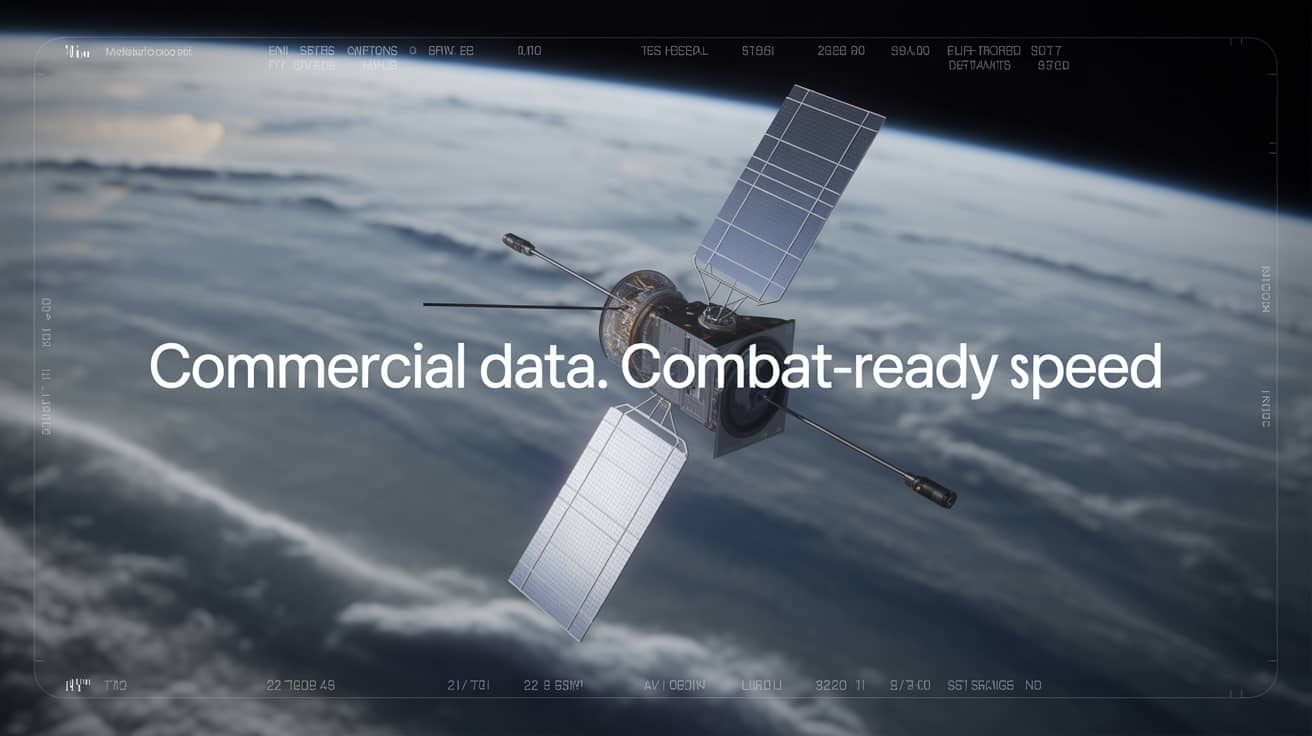
What We Provide
SkyFi gives users access to a wide range of commercial satellite and aerial data products, including multispectral, SAR, maritime Automatic Identification System (AIS), and very high-resolution imagery. These products are available for tasking or from archive and can be ordered without a contract. You choose the area, resolution, and sensor type, and SkyFi delivers the data.
Our geospatial tools are used by analysts, engineers, and planners working in government, defense, emergency response, maritime logistics, and infrastructure. This includes tracking ship movements, analyzing wildfire burn patterns, assessing damage to roads and bridges, and more.
From Floods to Fires
When historic floods hit Argentina in March 2025, U.S. forces needed to rapidly understand the situation on the ground to assist international partners with humanitarian aid response efforts. SkyFi was tasked through the TacSRT pipeline to provide fresh imagery of flooded zones near critical infrastructure. Within 48 hours, the mission team had what they needed to facilitate recovery efforts and understand impacts to local infrastructure.
Following the recent earthquake in Myanmar, TacSRT again relied on commercial vendors like SkyFi to deliver geospatial updates in real time. These updates included local aid efforts, blocked roads, and structural vulnerabilities. The orders were short-term but essential. They helped responders prioritize where to send crews and resources.
Maritime Domain Awareness Without Gaps
Not every ship wants to be seen. In high-traffic regions, illegal fishing or unregistered vessels often turn off their transponders, disappearing from standard tracking systems. Space-based imaging fills that gap. Using satellite imagery, AIS, and other data sources, SkyFi has supported TacSRT taskings to monitor ship clusters and movement patterns in sensitive maritime corridors.
One Platform. Many Applications.
SkyFi’s strength is flexibility. The platform supports a wide range of missions across different sectors. While our work with TacSRT is focused on defense and disaster response, the same workflows apply to infrastructure assessments, port operations, cross-border monitoring, and more.
When speed and scale are required, commercial imagery can support operational decisions without delay. SkyFi makes that access simple. The tools are in your hands.


