Unlocking the Power of Space High Resolution: Transforming Industries and Exploring New Frontiers
TL;DR: Key Takeaways on Space High Resolution
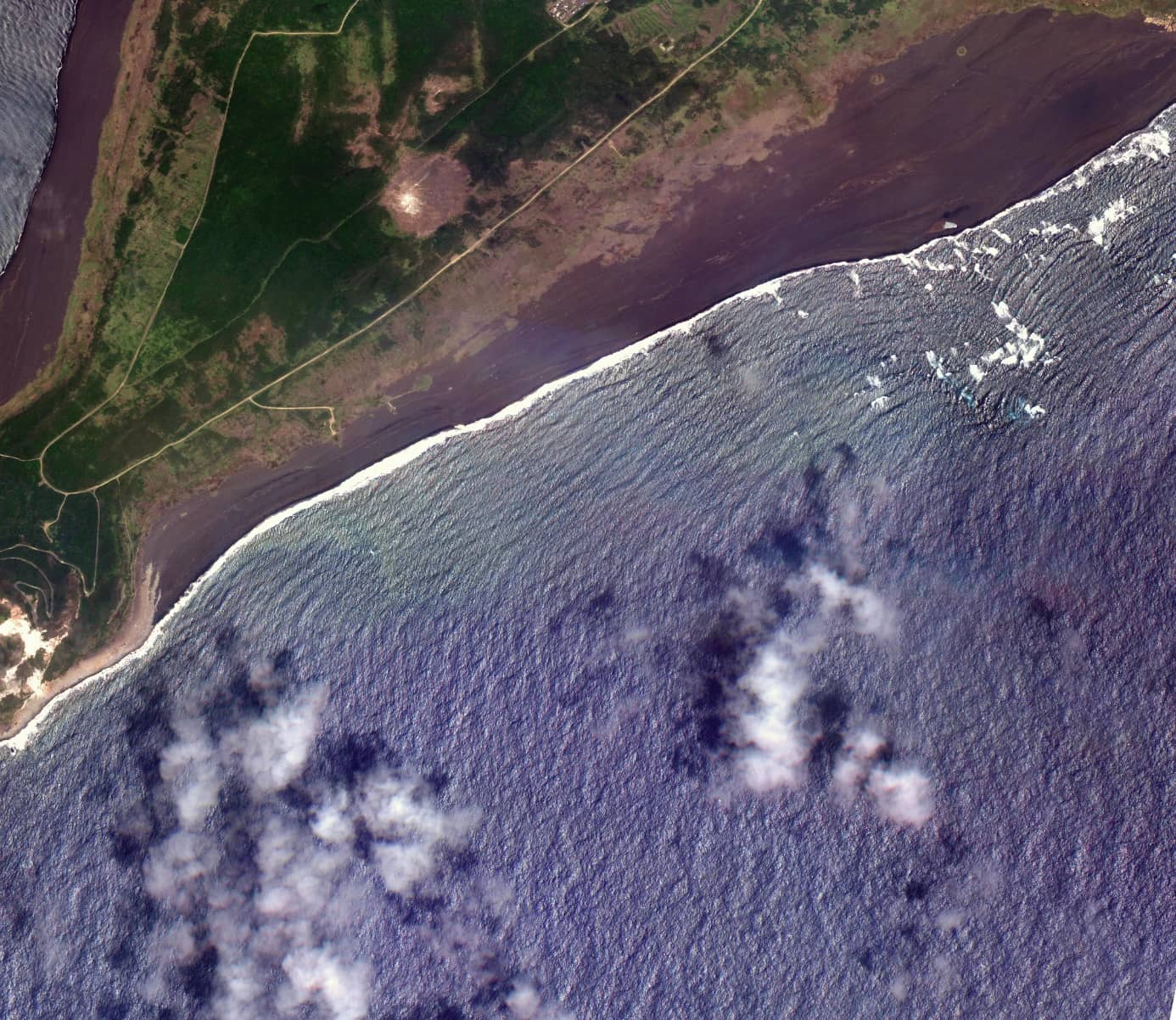
Space high resolution refers to the ability of satellite or space-based sensors to capture detailed imagery, measured by the size of the smallest objects distinguishable in an image.
It is crucial in fields like astronomy, climate monitoring, urban planning, and defense.
Recent advancements in satellite technology and artificial intelligence have significantly improved resolution capabilities.
Challenges include data processing demands, atmospheric interference, and high costs, but solutions are emerging to address these issues.
The future of high-resolution imaging is driven by trends like satellite miniaturization, AI integration, and increased accessibility for everyday users.
What is Space High Resolution?
Space high resolution describes the level of detail captured in satellite imagery. It is defined by the smallest objects that can be distinguished in an image, typically measured in meters or centimeters. For example, an image with a resolution of 0.3 meters can depict objects as small as 30 centimeters. This capability enables precise analyses of the Earth and its features.
High-resolution imagery goes beyond producing visually appealing photographs; it provides actionable data. Whether monitoring deforestation or assessing urban infrastructure, this technology offers clarity and precision that support informed decision-making. It has become a cornerstone of modern industries reliant on spatial data.
Why Space High Resolution Matters
Space high resolution is a transformative tool for industries and research. One of its most impactful uses is in Earth observation. Scientists employ high-resolution satellite imagery to track environmental changes, such as glacier retreat and deforestation. During wildfire seasons, detailed imagery aids in identifying fire lines, helping emergency teams strategize effectively.
In urban planning, high-resolution imagery is indispensable for managing rapid population growth and infrastructure development. It enables planners to detect traffic bottlenecks, monitor construction, and design more efficient public transportation systems. High-resolution telescopes also contribute to astronomy by providing clear views of distant galaxies, uncovering mysteries of the universe one pixel at a time.
The applications of space high resolution extend beyond science. Defense sectors use it for surveillance, while agriculture leverages it for crop monitoring. These examples underscore its pivotal role in industries requiring precise spatial data.
Advancements in Space High Resolution Technology
Technological advancements have drastically improved space high resolution. Earlier satellite images had resolutions measured in meters, but today, resolutions as sharp as 30 centimeters—or better—are achievable. These improvements are largely driven by innovations such as nanosatellites and sophisticated algorithms.
Artificial intelligence (AI) and machine learning (ML) have revolutionized data processing for high-resolution imagery. Tools like convolutional neural networks (CNNs) enhance image clarity by closing gaps between low-resolution and high-resolution images. Companies such as Nara Space have developed super-resolution algorithms using CNNs, enabling detailed data extraction with greater efficiency.
Another major advancement is the development of satellite constellations—groups of small satellites working in tandem to provide continuous, high-resolution coverage. This approach ensures more frequent and comprehensive data collection, making high-resolution imagery increasingly accessible and affordable.
Challenges in Achieving Space High Resolution
Achieving space high resolution is not without challenges. One significant hurdle is the size and weight of high-resolution sensors, which increase the costs and complexity of satellite launches. Even after deployment, atmospheric interference can degrade image quality, requiring advanced algorithms to compensate for these distortions.
Data processing is another major challenge. High-resolution images generate enormous datasets, demanding robust computational infrastructure for storage and analysis. This increases operational costs, especially for smaller organizations. Addressing these challenges involves finding a balance between resolution, cost, and processing efficiency.
Funding remains a limitation, particularly for startups in the space technology sector. However, as private companies innovate and costs decrease, the barriers to entry are gradually diminishing, paving the way for broader adoption of high-resolution technologies.
How Space High Resolution is Used Today
Space high resolution is already making a tangible impact across various sectors. For example, it has been employed to monitor deforestation in the Amazon rainforest. Satellite imagery enables authorities to identify illegal logging activities and respond quickly to prevent further damage.
In urban environments, high-resolution imagery is used for infrastructure planning. Cities rely on this data to monitor road conditions, design efficient transportation systems, and optimize public spaces. In agriculture, high-resolution imagery provides detailed insights into crop health, soil conditions, and irrigation needs, allowing farmers to make informed decisions that enhance productivity.
The defense sector also benefits from space high resolution, using it for surveillance and threat detection. During natural disasters, this technology plays a critical role in assessing damage and guiding emergency response efforts. These applications highlight the versatility and value of high-resolution imagery in addressing real-world challenges.
Accessing and Using Space High Resolution Data
Access to high-resolution satellite imagery has become easier with the advent of platforms like SkyFi. These platforms offer a user-friendly interface for researchers, businesses, and enthusiasts to access and utilize satellite data. By streamlining the data acquisition process, they democratize access to advanced imaging technologies.
SkyFi, for instance, allows users to customize their data based on specific needs. Whether seeking imagery of a particular location or requiring analysis tools, the platform provides flexible options. Collaborative efforts with companies like Nara Space have further enhanced the quality of data, offering sharper and more detailed images through super-resolution algorithms.
Such advancements make high-resolution imagery not only accessible but also practical for a wide range of applications, from environmental studies to urban development.
Future Trends in Space High Resolution
The future of space high resolution is defined by rapid advancements and innovative trends. AI and ML are expected to play pivotal roles, enabling real-time processing of ultra-high-resolution images. These technologies will enhance the efficiency and accessibility of high-resolution imagery, broadening its applications.
Satellite miniaturization is another key trend. Nanosatellites are becoming increasingly capable, allowing for more frequent data collection at a fraction of the cost of traditional satellites. This development is expected to make high-resolution data more accessible to smaller organizations and individual users.
The privatization of space technology is accelerating innovation, with companies exploring new ways to make high-resolution imagery affordable and practical. As humanity ventures to the Moon, Mars, and beyond, the demand for space high resolution will continue to grow, driving further advancements.
Societal Impact of Space High Resolution
The societal benefits of space high resolution extend far beyond industry applications. In disaster relief, high-resolution imagery helps emergency teams assess affected areas and allocate resources efficiently, saving lives and reducing recovery times. Environmental conservation efforts also benefit, as detailed imagery enables organizations to monitor ecosystems, track wildlife, and combat deforestation.
The democratization of this technology is equally significant. Platforms like SkyFi allow smaller organizations and even individuals to leverage high-resolution imagery. This accessibility fosters innovation, empowering a broader range of users to tackle global challenges and develop creative solutions.
How SkyFi is Leading the Way
SkyFi stands at the forefront of the high-resolution imaging industry, connecting users with cutting-edge satellite imagery from around the globe. By combining advanced technology with an intuitive platform, SkyFi has created a resource for a diverse audience, from urban planners to environmental researchers.
The company's partnerships with innovators like Nara Space have elevated the quality of its offerings. Super-resolution algorithms, for instance, enhance image clarity, providing users with the precision needed for complex analyses. Additionally, SkyFi emphasizes education, offering resources that demystify satellite technology and encourage its use across industries.
Space high resolution is revolutionizing the way industries and researchers understand and interact with the world. Its ability to provide detailed and actionable data is reshaping fields ranging from agriculture to astronomy. As technological advancements continue to make this technology more accessible, its applications will only expand, benefiting a wide range of users.
SkyFi is proud to be part of this transformation, offering tools and data that empower users to make informed decisions. With space high resolution, the possibilities are limitless, enabling a clearer view of the Earth and the universe beyond.