Open Data Satellite Imagery: A Comprehensive Guide
Update (October 2025): Maxar Intelligence has officially rebranded as Vantor. All references to “Maxar” in this article now refer to Vantor, which continues to provide the same gold-standard satellite imagery, basemaps, and 3D terrain data trusted worldwide.
Read more about the rebrand: Maxar Rebrands as Vantor and Lanteris — What to Know
TL;DR
What is Open Data Satellite Imagery? Freely available satellite data for various applications like research, environmental monitoring, and urban planning.
Why is it important? It democratizes geospatial data, supports innovation, and offers cost-effective solutions across industries.
Best sources include platforms like USGS Earth Explorer, Sentinel Hub, and NASA EarthData.
How to access and analyze it? Utilize platforms, APIs, and processing tools like QGIS and Google Earth Engine.
Limitations and challenges include lower resolution compared to commercial imagery, complex interfaces, and data usage restrictions.
Primary use cases span agriculture, disaster response, urban planning, and scientific research.
Comparison with commercial data highlights differences in cost, resolution, and accessibility.
Legal and ethical considerations focus on licensing, crediting sources, and responsible data usage.
What is Open Data Satellite Imagery?
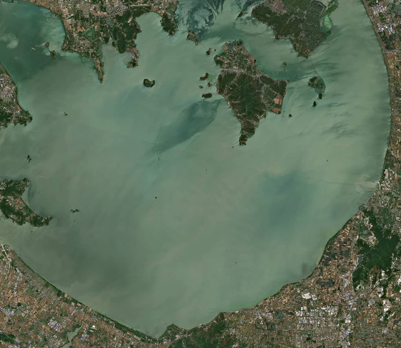
Open Data Satellite Imagery refers to satellite data made available to the public at no cost, often provided by governmental organizations and international agencies. Unlike commercial imagery, which is expensive and often restricted, open data enables users to access a wealth of geospatial information for diverse applications.
Prominent platforms such as Sentinel Hub, USGS Earth Explorer, and NASA EarthData offer access to datasets ranging from optical and radar imagery to multispectral bands. Open Data Satellite Imagery serves as a critical resource for monitoring environmental changes, conducting scientific research, and fostering innovation across industries.
The evolution of open satellite data has revolutionized fields like disaster management, urban planning, and agriculture, making high-quality information accessible to researchers, businesses, and policymakers worldwide.
Why is Open Data Satellite Imagery Important?
Open Data Satellite Imagery plays a pivotal role in addressing global challenges. By providing free access to high-quality geospatial data, it fosters innovation and supports informed decision-making. Governments and organizations use this data to monitor deforestation, track urban expansion, and study climate change impacts.
The importance of such imagery extends to economic opportunities as well. It enables small businesses and startups to develop data-driven solutions without the financial burden of acquiring commercial imagery. Additionally, educational institutions leverage open satellite data for teaching geospatial analysis, further democratizing access to critical tools and information.
Beyond economic and educational benefits, Open Data Satellite Imagery has been instrumental in disaster response. Platforms like Maxar's Open Data Program provide high-resolution images to aid relief efforts during natural disasters, demonstrating the technology's humanitarian impact.
Best Sources for Open Data Satellite Imagery
Several platforms stand out for their accessibility and variety of datasets. These include:
USGS Earth Explorer: Known for its extensive archive of Landsat imagery, Earth Explorer provides access to radar, hyperspectral, and historical datasets. It is a preferred platform for users seeking long-term data records.
Sentinel Hub: This platform offers data from the European Space Agency’s Sentinel satellites, including Sentinel-1 for radar imagery and Sentinel-2 for multispectral data. The high revisit rate ensures near-real-time data availability.
NASA EarthData: Featuring datasets from MODIS, ASTER, and Landsat missions, this platform is ideal for researchers studying global environmental trends.
Maxar Open Data Program: Specializes in high-resolution imagery for disaster response, providing critical resources for relief operations.
INPE Image Catalog: Focuses on South American and African datasets, offering valuable insights into these regions.
Each platform has unique features, making it essential to choose the one best suited for specific project needs.
How to Access Open Data Satellite Imagery
Accessing Open Data Satellite Imagery has become increasingly user-friendly with advancements in technology. Most platforms offer interactive interfaces where users can define an Area of Interest (AOI) by drawing on maps, uploading coordinates, or using predefined boundaries. Filters for cloud cover, date range, and resolution help refine search results.
For advanced users, APIs provided by platforms like Copernicus Open Access Hub and Earth on AWS allow programmatic access to datasets, enabling automation and large-scale data processing. Once datasets are identified, they can be downloaded in formats like GeoTIFF, JPEG, or KMZ for further analysis.
Beginner-friendly platforms like Google Earth are an excellent starting point, while professionals may prefer tools with robust search and processing capabilities such as Sentinel Hub.
Tools for Processing and Analyzing Satellite Imagery
Processing satellite data requires specialized tools to extract meaningful insights. Free and open-source software like QGIS is popular for its comprehensive functionality, including raster analysis, vector editing, and map production. Another powerful tool, Google Earth Engine, supports cloud-based processing for large datasets, making it a preferred choice for researchers.
For Sentinel data, the SNAP Toolbox provides tailored functionalities such as band combinations, atmospheric correction, and change detection. Advanced users can utilize Python libraries like Rasterio and Geopandas to integrate geospatial data into custom workflows.
These tools enable users to perform tasks ranging from vegetation health analysis (e.g., NDVI) to tracking urban growth. By leveraging such tools, organizations can maximize the value of Open Data Satellite Imagery.
Limitations and Challenges of Open Data Satellite Imagery
While Open Data Satellite Imagery offers significant benefits, it is not without its limitations. The primary drawback is resolution. Free datasets like Landsat and Sentinel-2 typically provide resolutions of 10–30 meters per pixel, which may not meet the needs of applications requiring fine details, such as traffic monitoring or building analysis.
Another challenge is data accessibility. Platforms like USGS Earth Explorer have steep learning curves, and users often need to familiarize themselves with complex search and download procedures. Furthermore, the time lag in updating datasets can hinder projects that require real-time data.
Legal and licensing restrictions also pose challenges. Even though data is freely available, it often comes with conditions that must be adhered to, including proper attribution and non-commercial usage limits.
Primary Use Cases for Open Data Satellite Imagery
The versatility of Open Data Satellite Imagery has made it an essential tool across various domains. In environmental monitoring, it aids in tracking deforestation, glacier retreat, and urban heat islands. Agriculture benefits from the data by enabling precision farming techniques, optimizing water use, and predicting crop yields.
In disaster management, open satellite data supports rapid assessment of damage caused by floods, wildfires, and hurricanes. This facilitates effective planning and resource allocation for relief efforts. Urban planning is another critical use case, where satellite imagery helps map infrastructure and analyze population density.
Finally, the technology has advanced scientific research, providing insights into phenomena like sea-level rise and land-use change, contributing to a deeper understanding of the planet.
Comparison Between Open Data and Commercial Satellite Imagery
Open Data Satellite Imagery and commercial options each have unique strengths. Open data offers accessibility and affordability, making it ideal for educational, research, and non-profit applications. However, its resolution is limited to 10–30 meters, which restricts its use in detailed analyses.
Commercial imagery, such as Maxar and Airbus datasets, provides resolutions as fine as 30 centimeters. This makes it suitable for tasks requiring high detail, such as infrastructure monitoring and security operations. The trade-off is cost, as these datasets are often expensive and accompanied by restrictive licensing agreements.
For many projects, a combination of open and commercial data provides the best results, leveraging the strengths of both.
Legal and Ethical Considerations
Using Open Data Satellite Imagery responsibly requires understanding its legal and ethical implications. Licensing agreements typically mandate proper attribution and restrict commercial use of free datasets. Users must ensure compliance with these terms to avoid legal issues.
Ethical considerations include respecting privacy and avoiding misuse of high-resolution data. For example, disaster response teams must handle sensitive data carefully to prevent exploitation during vulnerable situations.
Adhering to these guidelines ensures the responsible use of satellite imagery while maintaining trust within the geospatial community.
How Open Data Satellite Imagery Benefits Startups and Smaller Organizations
Open Data Satellite Imagery has been a boon for startups and smaller organizations, enabling them to compete in the geospatial industry without substantial financial investment. By providing access to high-quality datasets, it allows businesses to develop innovative solutions in agriculture, urban planning, and disaster management.
Non-profits and NGOs utilize free satellite data for projects like monitoring deforestation and supporting disaster relief efforts. Educational institutions benefit by incorporating satellite imagery into curricula, equipping students with valuable geospatial analysis skills.
This democratization of data fosters innovation, ensuring that even organizations with limited resources can make a meaningful impact.
Open Data Satellite Imagery has transformed the way geospatial information is accessed and utilized. Its applications in environmental monitoring, agriculture, disaster response, and scientific research underscore its importance in addressing global challenges. Platforms like Sentinel Hub, USGS Earth Explorer, and NASA EarthData provide the tools and data needed to make informed decisions and drive innovation.
While challenges such as resolution limitations and licensing issues exist, the benefits far outweigh the drawbacks. By leveraging the right tools and adhering to ethical guidelines, users can unlock the full potential of Open Data Satellite Imagery, contributing to a better understanding of the world.
This comprehensive guide aims to empower readers with the knowledge to explore, analyze, and apply Open Data Satellite Imagery effectively.


