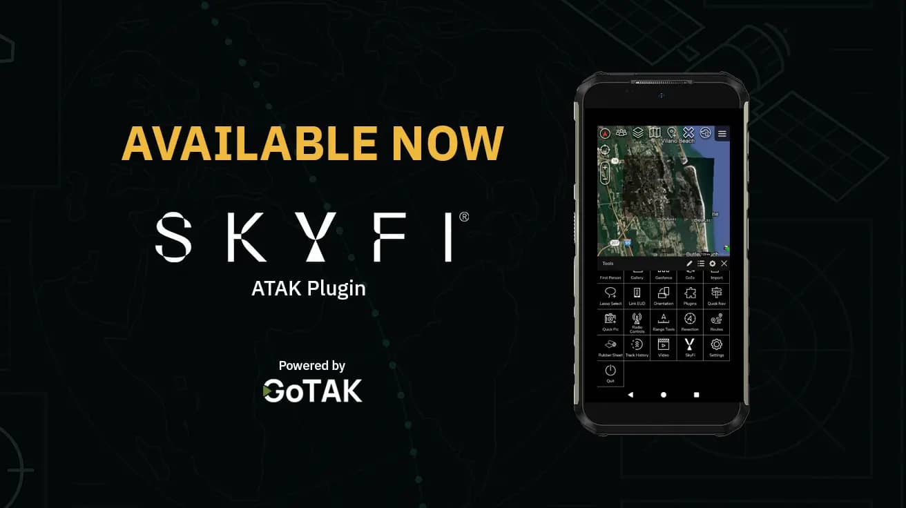
Real-Time Satellite Imagery Now in ATAK: SkyFi and GoTAK Deliver Taskable Commercial Satellite Imagery to the Field
SkyFi and GoTAK have partnered to release a plugin that brings satellite imagery directly into the ATAK (Android Team Awareness Kit) platform. The plugin is live on the Google Play Store and works on Android-based End User Devices (EUDs). It provides real-time access to commercial satellite imagery for first responders, city agencies, and warfighters
This tool was designed to meet the operational needs of both government and civilian users. It connects geospatial imagery from the SkyFi platform to TAK environments with no server setup, no Linux, and no long learning curves.
You can use the plugin today with a SkyFi Pro account and a standard Android phone running TAK, no additional hardware required.
What does the plugin do?
The initial phase of the plugin lets users log in with their SkyFi credentials to access previously purchased satellite imagery. The latest update adds drawing tools directly within TAK, enabling users to outline custom areas and request new satellite captures.
Once downloaded, the imagery integrates seamlessly into the shared TAK map, instantly available to everyone – from operators in the field to personnel at command posts.
Ready to get started? Download the plugin and sign in with your SkyFi Pro account.
Why does this matter?
Before this plugin, accessing commercial imagery inside ATAK required custom tools, military credentials, or separate servers. SkyFi and GoTAK have removed those steps. You no longer need a CAC card, a separate plugin, or a dedicated Linux server to support your mission.
This plugin gives ATAK users a new option for satellite imagery tasking and archive downloads. It's fast, simple, and built for field conditions.
SkyFi’s platform provides satellite data from multiple providers with prices based on image size, sensor type, and resolution. There are no hidden costs. You can view pricing here.
Can I use this in my city or department?
Yes. The plugin is available now, and SkyFi’s platform is open to all users. The data you pull into TAK is commercial satellite imagery, ready to be used in your operational plans.
Whether you are a city official assessing post-storm damage or a rural sheriff coordinating a search effort, this tool puts space-based imagery on the same screen you’re already using.
Log in to your SkyFi Pro account to get started. You can search for archive imagery or set up a new tasking directly in the app.
Do I need new hardware?
No. The plugin works on Android phones that run TAK. You can use a Samsung phone or GoTAK’s rugged devices, but there is no hardware requirement. The plugin is software-based.
That said, GoTAK does sell ready-made kits with TAK, cell service, and the plugin preloaded. These are available for rent or purchase depending on your needs.
If you are outfitting a team or managing a grant, the rental kits make deployment fast.
Download the plugin and sign in with your SkyFi Pro account.
How do I get started and request support?
Set up your SkyFi Pro account to access imagery in ATAK.
Read the setup guide or download the user manual (PDF) for full instructions.
If you need additional help, you can contact us us at [email protected].
SkyFi values user feedback to continuously improve this capability. Please share your insights and suggestions with us at [email protected].