The Humanitarian Impact of Imagery: Delivering Life-Saving Data to Rescue Missions
The data that SkyFi delivers has the power to change the world. Industries are already using this information to save time and money, but now they’re realizing how it can help save lives.
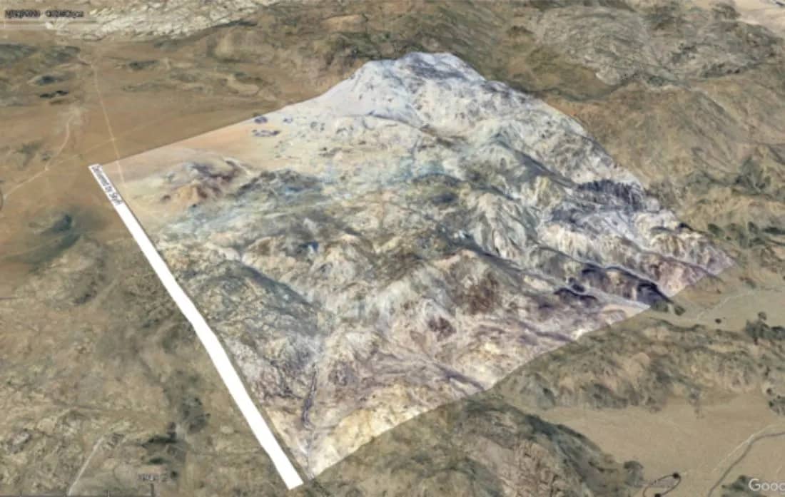
Over the past month, users have reached out to us seeking assistance in rescue efforts across the globe, from Mount Everest to Joshua Tree and the Galapagos Islands. These time-sensitive missions require up-to-date ground truth information, and SkyFi is proud to deliver it, recognizing the clear humanitarian benefit of accessible data.
The Old Model: Obstacles in a Challenging Scenario
When disaster strikes, every second is critical. The longer the response time, the lower the chance of survival. These people need help and they need it now.
The traditional search and rescue model relies heavily on ground-based teams, helicopter crews, and, if you’re lucky, a drone or two. These dedicated professionals and organizations are committed to rendering aid under the most dangerous circumstances. They put their lives on the line to preserve the lives of others; “So that others may live.”
However, these heroes face a host of challenges which hinder their effectiveness:
Time: From the initial signal of distress, teams and resources must be assembled and organized. A plan must be devised and disseminated. The search area may cover massive territories and take an unreasonable amount of time to search.
Cost: The ability to deploy a search team quickly into an unknown environment does not come cheap. The team must be trained and well-equipped to handle any obstacle.
Danger: Rarely are people in need of rescue frolicking in sunny green pastures. They are often unable to move to safety because of steep cliff faces, intense weather conditions, or unforgiving terrain.
The New Model: Revolutionizing Search and Rescue with Earth Observation Data
Enter Earth observation data–an innovative tool with the power to revolutionize the search and rescue process. SkyFi users can quickly and affordably task a satellite to capture an image of the area in question and compare this up-to-date information against existing imagery. This data allows the user to pinpoint changes in the landscape, identify potential structures or shelters, and focus search efforts on areas where survivors are most likely to be found. This capability equips the crews with a powerful tool to drive a more efficient and effective search operation.
Let's take a look at a recent example of this. boxMica used an up-to-date SAR image from our partner, Umbra, to aid in search and rescue efforts of missing people on Mount Everest. This is an ongoing effort.
The Earth observation data delivered by SkyFi provides immediate and life-saving benefits to the search and rescue industry:
Rapid Response: By tasking satellites to capture images promptly, search and rescue teams can initiate more focused operations quickly, reducing response times and increasing the chances of finding survivors alive.
Cost-Effectiveness: Leveraging Earth imagery minimizes the reliance on extensive ground-based workforce and costly aerial surveys, optimizing resource allocation and reducing overall expenses.
Enhanced Coverage: Satellite imagery covers vast areas, eliminating the need for extensive physical searches and allowing rescuers to focus on specific locations based on real-time information.
Improved Safety: Earth observation data minimizes risks ground-based teams face in hazardous and inaccessible terrains, ensuring their safety while maximizing operational efficiency.
What’s Next? Embracing the Future
With SkyFi, Earth observation data is readily accessible through an intuitive and user-friendly platform. This puts vital information in the hands of emergency response organizations capable of leveraging this tool effectively.
As technology continues to advance, the value of Earth observation data in search and rescue operations will grow exponentially. The rising demand for image analysis stimulates innovation in image processing. SkyFi is drawing from an impressive network of experts working hard at work creating layers of insights to apply to images. When these insights are applied, they will analyze the picture, extract the relevant data, and deliver answers to your most challenging questions. No need for a background in image processing or analytical algorithms. The only limit to applications is your imagination.
At SkyFi, we're not just helping you save time and money—we're helping you save lives. Join us in embracing the future and harnessing the potential of Earth observation data for a safer and more resilient world.