Understanding Sentinel 2 Resolution: Capabilities, Applications, and Benefits
Update (October 2025): Maxar Intelligence has officially rebranded as Vantor. All references to “Maxar” in this article now refer to Vantor, which continues to provide the same gold-standard satellite imagery, basemaps, and 3D terrain data trusted worldwide.
Read more about the rebrand: Maxar Rebrands as Vantor and Lanteris — What to Know
TL;DR
Sentinel 2 resolution refers to the spatial, spectral, temporal, and radiometric resolutions of the Sentinel-2 satellite system.
These resolutions enable high-precision Earth observation for various applications such as environmental monitoring, agriculture, and urban planning.
Sentinel-2 captures data in 13 spectral bands at different resolutions, supporting detailed and multi-layered analysis.
Its 5-day revisit time ensures frequent and consistent data for dynamic monitoring.
Sentinel-2's freely accessible data makes it a cornerstone in modern geospatial technology and Earth observation.
What is Sentinel 2 Resolution?
Sentinel 2 resolution describes the diverse capabilities of the Sentinel-2 satellite system in capturing and analyzing Earth's surface. It encompasses four distinct types of resolution:
Spatial resolution: Defines the detail visible in an image, measured by the size of the ground area each pixel represents.
Spectral resolution: Refers to the satellite’s ability to differentiate wavelengths of light across its 13 spectral bands.
Temporal resolution: Indicates how frequently the satellite revisits the same geographic location.
Radiometric resolution: Measures the sensitivity of the system in detecting subtle differences in light intensity.
These attributes collectively enhance Sentinel-2’s functionality in remote sensing and make it a critical tool for monitoring environmental changes, managing resources, and responding to global challenges.
The Importance of Sentinel-2 in Remote Sensing
Sentinel-2, part of the European Space Agency’s Copernicus Program, is a twin-satellite mission designed to provide consistent, high-resolution imagery. The system delivers significant benefits by offering free, openly accessible data to support decision-making across industries and disciplines. Sentinel-2A and Sentinel-2B work together, orbiting 180 degrees apart, to achieve a 5-day revisit frequency. This configuration enables users to monitor temporal changes with exceptional precision.
With a swath width of 290 km and coverage spanning all continents, coastal waters, and islands larger than 100 km², Sentinel-2 ensures comprehensive observation. The satellite’s data supports applications ranging from agricultural resource management to disaster response, making it an invaluable asset in addressing pressing global issues.
A Closer Look at Sentinel-2 Resolutions
Spatial Resolution
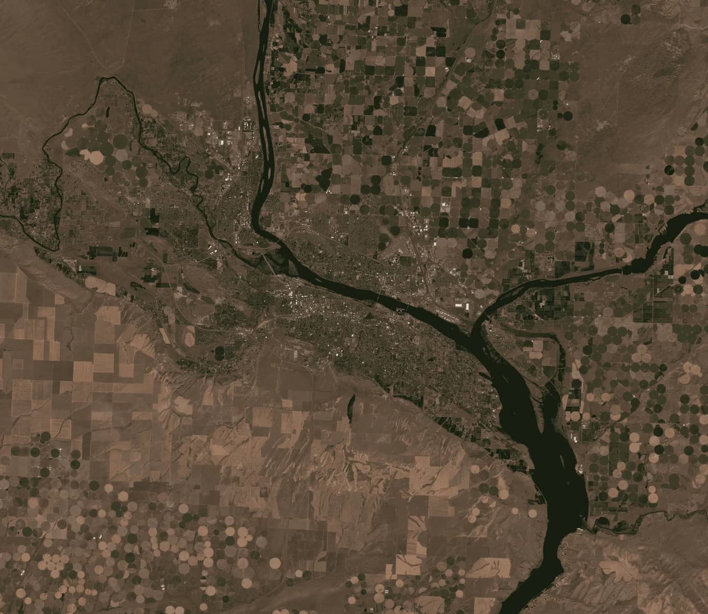
The spatial resolution of Sentinel-2 determines the level of detail visible in its imagery. The system provides three levels of spatial resolution: 10 meters, 20 meters, and 60 meters, corresponding to specific spectral bands. These resolutions cater to various applications:
10-meter resolution: Ideal for detailed mapping, urban monitoring, and vegetation analysis.
20-meter resolution: Useful for identifying water bodies and analyzing soil properties.
60-meter resolution: Primarily employed for atmospheric correction.
The ability to capture high-resolution imagery across various wavelengths makes Sentinel-2 a versatile solution for both detailed and broader analyses.
Spectral Resolution
Sentinel-2’s spectral resolution is one of its most defining features, with the capability to capture data across 13 bands, ranging from visible to shortwave infrared. Each band serves a unique purpose:
The visible bands (blue, green, and red) are essential for true-color representation and water quality analysis.
The near-infrared bands support vegetation monitoring and biomass estimation.
The shortwave infrared bands detect moisture levels in vegetation and soil, making them valuable for agricultural and environmental studies.
These spectral capabilities enable precise differentiation of surface features and support applications like identifying crop health, mapping water bodies, and detecting mineral deposits.
Temporal Resolution
The 5-day revisit time of Sentinel-2 ensures frequent data collection, which is crucial for monitoring dynamic changes. Temporal resolution is particularly important for:
Tracking seasonal variations in vegetation.
Monitoring urban expansion over time.
Assessing the progression of natural disasters like floods and wildfires.
This regular data availability allows researchers and decision-makers to respond quickly to changing conditions, making Sentinel-2 a vital tool for time-sensitive applications.
Radiometric Resolution
Radiometric resolution measures the satellite's ability to detect subtle differences in light intensity. Sentinel-2 operates with a 12-bit radiometric resolution, enabling it to distinguish 4,096 levels of brightness. This precision is essential for detecting small variations in surface reflectance, such as changes in vegetation stress, snow cover, or water turbidity.
Applications relying on radiometric resolution include early detection of drought conditions, monitoring algal blooms in water bodies, and mapping glacier dynamics.
Applications of Sentinel 2 Resolution
1. Agriculture
Sentinel-2’s spectral and temporal resolutions make it invaluable for agricultural monitoring. By analyzing vegetation indices like the Normalized Difference Vegetation Index (NDVI), farmers can assess crop health, identify stressed areas, and optimize irrigation schedules. This precision supports sustainable farming practices and improves resource efficiency.
2. Forestry
Forestry applications benefit from Sentinel-2’s ability to track deforestation, monitor forest health, and map biodiversity. Its red-edge bands are particularly effective in identifying tree species and assessing forest canopy conditions.
3. Urban Planning
Urban planners leverage Sentinel-2’s high spatial resolution to monitor land-use changes, manage infrastructure development, and track urban expansion. This data enables sustainable planning and better resource allocation in growing cities.
4. Water Resource Management
The spectral capabilities of Sentinel-2 support water quality monitoring, including detecting sediment loads, algal blooms, and pollution levels. These insights aid in sustainable water management and pollution control efforts.
5. Disaster Management
Sentinel-2 plays a critical role in disaster response, offering high-resolution imagery for assessing flood extents, wildfire damage, and other natural disasters. The data is instrumental in planning relief operations and minimizing impacts.
Real-World Examples of Sentinel-2’s Impact
Several case studies highlight the practical benefits of Sentinel-2:
In agriculture, Sentinel-2 has been used to optimize irrigation in arid regions, reducing water usage by up to 20%.
During the 2020 Australian bushfires, its imagery provided critical insights into burned areas, aiding recovery efforts.
Coastal monitoring projects have utilized Sentinel-2 data to assess coral reef health, detecting early signs of bleaching.
These examples demonstrate the satellite’s versatility and effectiveness in addressing global challenges.
Accessing and Processing Sentinel-2 Data
Sentinel-2 data is freely available through platforms like the Copernicus Open Access Hub. Users can download Level-1C (top-of-atmosphere reflectance) or Level-2A (surface reflectance) products for analysis. Tools such as ESA’s SNAP software, QGIS, and cloud-based platforms streamline data processing and visualization.
Combining Sentinel-2 imagery with other datasets, such as drone or radar data, further enhances its analytical potential. These integrations allow for more comprehensive studies and insights across various fields.
Comparison with Other Satellite Systems
Sentinel-2 is often compared to systems like Landsat and SPOT. While Landsat provides similar spectral data, its spatial resolution is lower, making Sentinel-2 the preferred choice for detailed mapping. Commercial satellites like Maxar offer higher resolutions but are cost-prohibitive for many users. Sentinel-2 strikes an ideal balance by offering high-resolution, multi-spectral imagery at no cost, democratizing access to critical Earth observation data.
Addressing Challenges with Sentinel-2
While Sentinel-2 offers numerous benefits, challenges such as cloud cover and large data volumes persist. Techniques like combining Sentinel-2 data with radar imagery from Sentinel-1 help overcome these limitations, ensuring consistent and reliable analysis.
Sentinel 2 resolution represents a breakthrough in remote sensing, providing unparalleled insights through its spatial, spectral, temporal, and radiometric capabilities. Its applications span agriculture, forestry, urban planning, and disaster management, making it a cornerstone in modern geospatial technology. As a free and accessible resource, Sentinel-2 empowers users worldwide to tackle pressing environmental and societal challenges. Its role in shaping a sustainable future cannot be overstated, offering data-driven solutions for a better planet.
For more information or to explore Sentinel-2’s potential, visit SkyFi.com.
Kat Tungol is the Product Marketing Manager at SkyFi, with a background in remote sensing and professional training as a licensed geologist. She works at the intersection of geospatial science and product marketing, translating complex Earth observation capabilities into clear, practical value for users.


