Why Aerial and Satellite Imagery Are Essential in Mapping
In today's world, making sense of complex landscapes requires precise data, and aerial and satellite imagery are key tools in building accurate maps and understanding our world. SkyFi brings these tools to your fingertips, offering accessible imagery and analysis, from high-resolution photos of urban areas to large-scale environmental monitoring. But why are these types of imagery so important in mapping, and what makes them different?
In this article, we’ll explore the essential roles of aerial and satellite imagery in mapping, their differences, and how each type of imagery is used to create maps and provide insights into our planet.
What is Aerial Imagery, and Why is it Used in Mapping?
Aerial imagery involves capturing photographs from aircraft, drones, or helicopters close to the Earth’s surface. This form of imagery has been around for over a century and is renowned for capturing incredible details of smaller, specific areas. Aerial images are particularly valuable for projects that need high-resolution, localized data.
Key Characteristics of Aerial Imagery
Aerial imagery provides distinct advantages, including:
High Detail: Captured at low altitudes, aerial photos are high-resolution, revealing smaller objects and features clearly.
Real-Time Updates: Since they’re taken close to the ground, aerial images can be updated frequently to capture changes over time.
3D Perspective: Aerial photos provide unique, detailed angles that enhance depth perception, useful for planning infrastructure and tracking terrain changes.
Different Types of Aerial Photographs
Aerial photographs are generally categorized by the angle at which they’re captured:
Vertical Photos: Taken directly overhead, these provide a “map-like” view of the area, making them ideal for precise mapping.
Oblique Photos: Tilted slightly, these capture wider perspectives, offering valuable context for urban and rural settings alike.
Benefits of Aerial Imagery in Mapping
Aerial imagery is crucial for:
Urban Planning: Aerial images help map out cities and track urban expansion, enabling planners to manage resources and development.
Infrastructure Projects: Roads, railways, and buildings rely on detailed aerial images to ensure accuracy in construction and maintenance.
Environmental Monitoring: High-resolution photos help track vegetation, water bodies, and ecosystems, making aerial imagery ideal for conservation efforts.
What is Satellite Imagery, and How Does it Support Mapping?
Satellite imagery, captured from satellites orbiting far above the Earth, covers extensive areas and is ideal for larger-scale analysis. Unlike aerial photos, satellite imagery is not taken with traditional cameras but rather with sensors that measure light wavelengths and other data, making it suitable for complex applications.
Types of Satellite Imagery
Satellite imagery generally includes three main types:
Visible Imagery: These images show the Earth as the human eye sees it, useful for observing land use, water bodies, and urban areas.
Infrared Imagery: Infrared captures heat and helps in detecting vegetation health, water content, and even wildfire monitoring.
Radar Imagery: Radar technology allows images to be taken through clouds and in poor lighting conditions, providing consistent data regardless of weather.
How Satellite Images Differ from Aerial Photographs
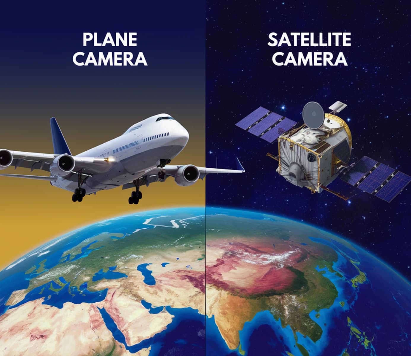
The main difference lies in the vantage point and technology used. While aerial images are traditional photos taken with a camera, satellite images are typically captured with sensors that can scan large areas. This allows satellite imagery to provide wide geographic coverage, while aerial images focus on smaller, detailed areas.
Advantages of Satellite Imagery in Mapping
Satellite imagery supports mapping projects on a broad scale, such as:
Environmental Tracking: Satellite images are ideal for tracking changes across large regions, from deforestation to urban growth.
Disaster Response: Large-scale imagery helps assess damage from natural disasters like hurricanes, fires, and floods, guiding relief efforts.
Agricultural Monitoring: Satellite imagery covers vast farmland areas, allowing farmers and analysts to monitor crop health, predict yields, and manage resources.
Comparing Aerial and Satellite Imagery for Mapping
Understanding the differences between aerial and satellite imagery can help in selecting the right tool for each project.
Resolution and Detail
Aerial imagery offers higher resolution and is perfect for mapping small areas that need intricate detail. Satellite imagery provides broader coverage with moderate resolution, useful for observing large geographic areas.
Cost and Accessibility
While aerial imagery can be more precise, satellite imagery is often more cost-effective for larger projects and is easily accessible for continuous monitoring of vast regions.
Frequently Asked Questions (FAQ) About Aerial Imagery
Why is aerial imagery preferred for urban mapping? Aerial imagery provides detailed and accurate views, which are essential in mapping buildings, roads, and other infrastructure in cities. The high resolution makes it ideal for urban planning.
Can aerial imagery capture real-time updates? Yes, aerial imagery can be updated regularly, especially useful for monitoring ongoing projects or changes in urban areas.
What are the limitations of aerial imagery? Aerial imagery is often dependent on weather and lighting conditions, and covering large areas can be costly compared to satellite imagery.
SkyFi combines the strengths of both aerial and satellite imagery, bringing them together on one platform so you can access the insights you need for a wide variety of projects. Whether you're involved in urban planning, environmental conservation, or infrastructure management, SkyFi’s comprehensive range of data sources and analysis tools makes mapping and monitoring easier and more effective. Explore our platform to find the imagery solution that’s right for you, and see how geospatial data can enhance your work and decision-making.