
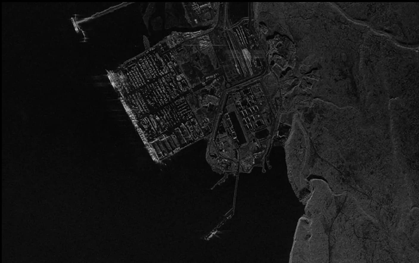
90m Global Bathymetry
The 90m Global Bathymetry product is a seamless digital model of the world’s underwater topography, combining data from nautical charts, surveys, and satellite-derived sources. This dataset provides comprehensive global coverage, enabling users to analyze large-scale marine and coastal environments with ease. Its multi-source approach ensures the most accurate and up-to-date bathymetric insights. Designed for versatility, it bridges gaps in existing data, making it a critical tool for understanding the underwater world.
Marine Exploration:
- Identify large underwater structures globally.
- Support research into oceanic currents in geology.
- Analyze seafloor trends for scientific studies.
Coastal Engineering:
- Plan ports, marinas, and coastal infrastructure.
- Assess sediment dynamics for dredging projects.
- Optimize locations for maritime energy projects.
Disaster Modeling:
- Develop models for tsunamis and storm surges.
- Assess potential coastal inundation risks.
- Support recovery planning with pre-and post-disaster data.
Energy Development:
- Map seedbed for offshore oil and gas pipelines.
- Identify optimal wind and solar farm locations.
- Conduct risk assessments for marine energy projects.
SkyFi integrates diverse geospatial data sources to give you the most up-to-date, detailed understanding of the landscapes shaping our future.
Industries
From agriculture to urban planning, environmental monitoring to disaster response, our platform provides essential data for informed decision-making across various sectors.
Swipe to see more
25.00 km
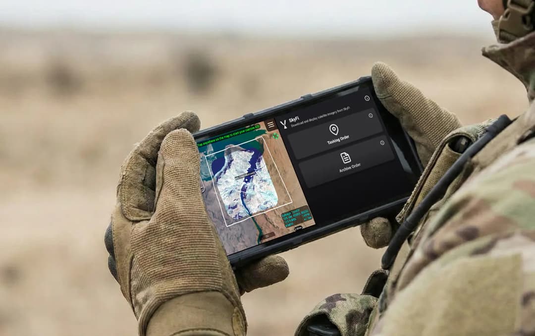
Military & Defense
Defense and security teams use SkyFi to turn satellite imagery and multi-domain sensor data into trusted operational intelligence. Access 150+ satellite sources, apply AI-enabled analytics, and deliver high-fidelity insights directly into COP systems and ATAK for faster, mission-ready decision-making.
Learn More