
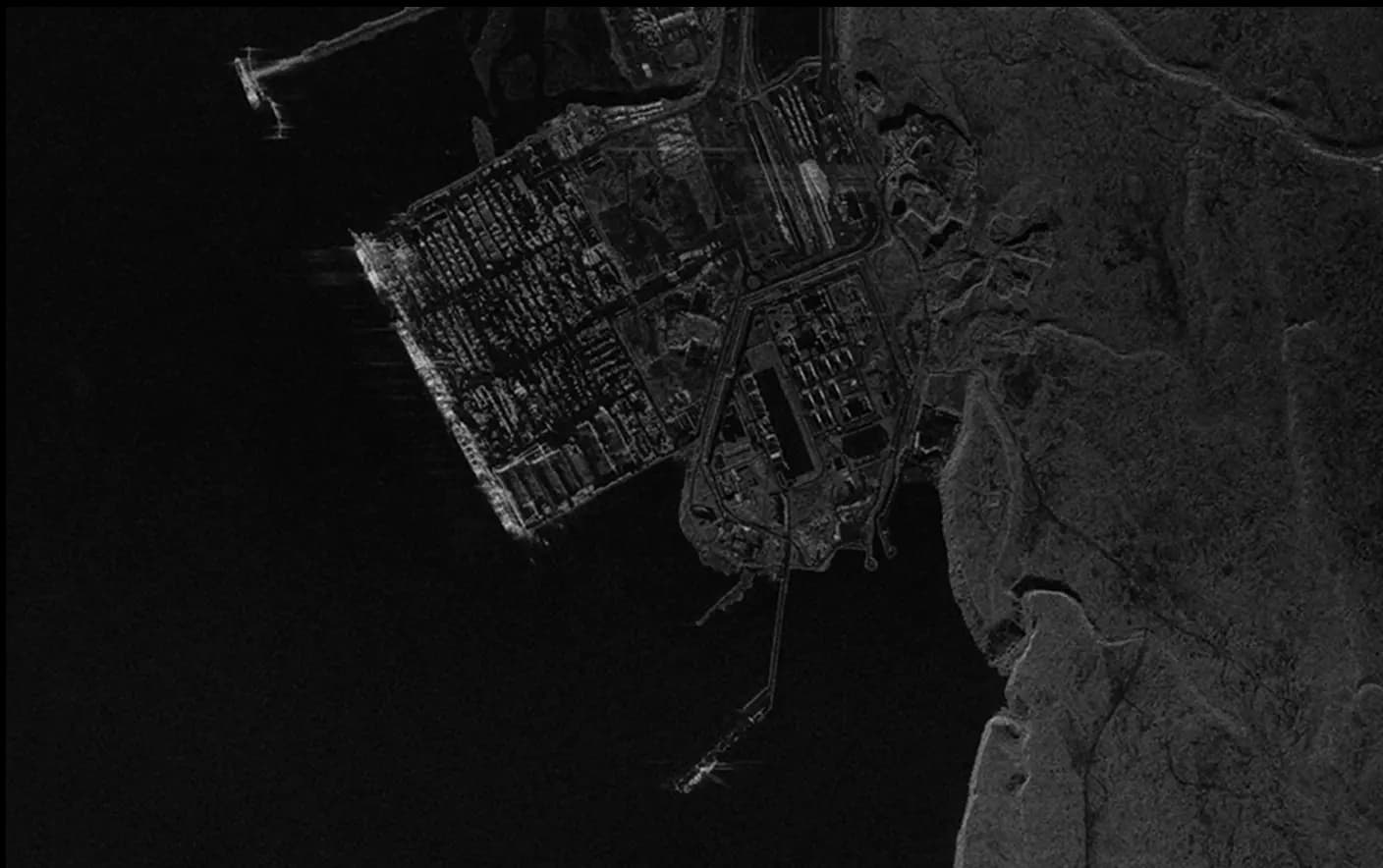
Ground Motion Measurements
Satellite-based ground motion maps deliver highly precise visual representations of surface deformation, detecting subtle ground shifts at millimeter-to-centimeter levels with measurement points spaced approximately every 10 meters. This data-driven tool enables comprehensive monitoring of surface stability, supporting critical assessments of infrastructure resilience and early detection of geological risks. With access to historical displacement data over a specified two-year period, Ground Motion Measurements provide essential insights for evaluating long-term trends in ground movement.
Infrastructure stability:
- Monitor structures for early displacement signs.
- Detect small deformations to prevent failures.
- Assess long-term stability of critical assets.
Mining Operations:
- Monitor slope stability in active pits.
- Track subsidence from underground mining activities.
- Ensure stability of nearby infrastructure.
Insurance & Underwriting:
- Assess property risks from ground motion trends.
- Inform underwriting with subsidence data.
- Use historical shifts to validate claims.
Environmental Protection:
- Track ground shifts near sensitive ecosystems.
- Identify potential risks to water resources.
- Prevent environmental damage from ground instability.
SkyFi integrates diverse geospatial data sources to give you the most up-to-date, detailed understanding of the landscapes shaping our future.
Industries
From agriculture to urban planning, environmental monitoring to disaster response, our platform provides essential data for informed decision-making across various sectors.
Swipe to see more
25.00 km
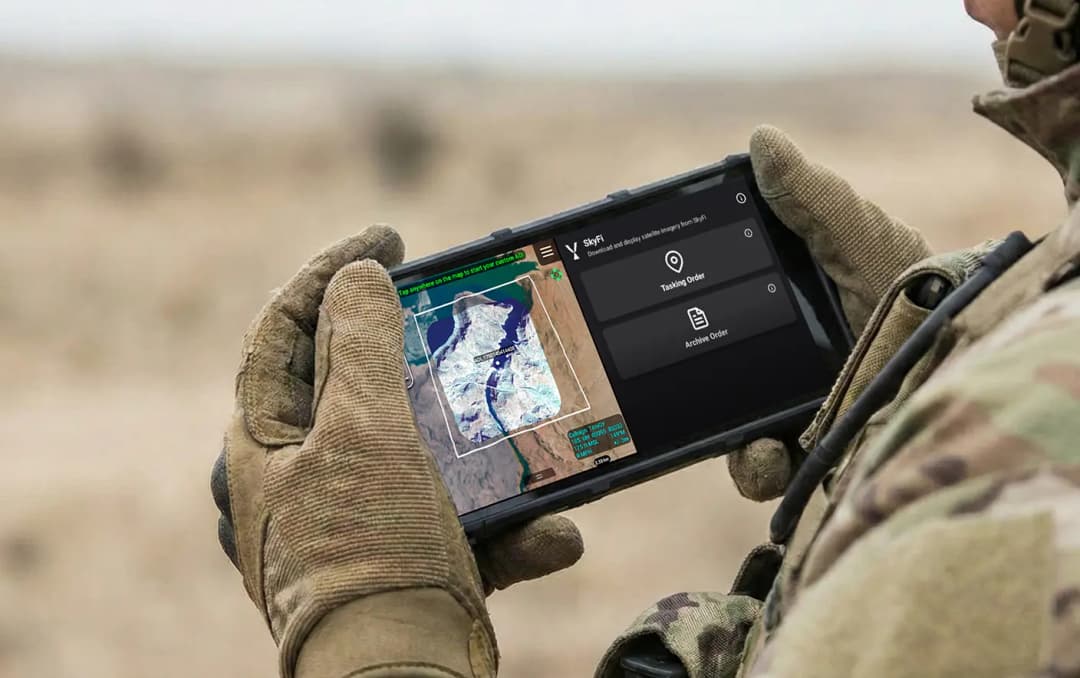
Military & Defense
Defense and security teams use SkyFi to turn satellite imagery and multi-domain sensor data into trusted operational intelligence. Access 150+ satellite sources, apply AI-enabled analytics, and deliver high-fidelity insights directly into COP systems and ATAK for faster, mission-ready decision-making.
Learn More