
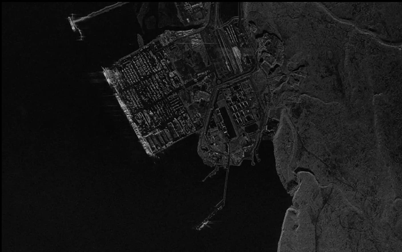
Satellite Derived Digital Terrain Model
A Satellite Derived Digital Terrain Model (DTM) is a highly accurate 3D representation of the Earth's bare ground surface, capturing only the terrain and excluding surface features like buildings, trees, and vehicles. Unlike a DSM, which includes all surface elements, the DTM provides an unobstructed view of the underlying landscape. This model is ideal for applications in land use planning, flood modeling, and infrastructure design, offering precise elevation data that supports informed decision-making in engineering, environmental, and geospatial projects. By focusing on the raw terrain, the DTM is essential for scenarios where true ground level data is needed.
Looking for a Satellite Derived Digital Surface Model? Find it in the app here.
Civil Engineering & Infrastructure
- Provides precise terrain data to support the design of roads, bridges, and other infrastructure.
- Enhances project planning for clear terrain use for informed site decisions.
- Reduces construction risks by identifying potential land challenges early on.
Flood Risk
- Essential for mapping flood-prone areas to guide community preparedness.
- Assists in designing flood defenses and drainage systems for risk reduction.
- Enables accurate water flow modeling to improve flood response and planning.
Mining & Geology
- Facilitates mineral exploration by highlighting terrain for safe extraction.
- Provides accurate ground data for strategic site assessments.
- Minimizes environmental impact by supporting responsible land management.
Environmental Management
- Supports conservation and land restoration by mapping natural terrain.
- Monitors erosion and helps develop solutions to protect land and ecosystems.
- Supplies reliable data for sustainable resource management and ecosystem preservation.
SkyFi integrates diverse geospatial data sources to give you the most up-to-date, detailed understanding of the landscapes shaping our future.
Industries
From agriculture to urban planning, environmental monitoring to disaster response, our platform provides essential data for informed decision-making across various sectors.
Swipe to see more
25.00 km
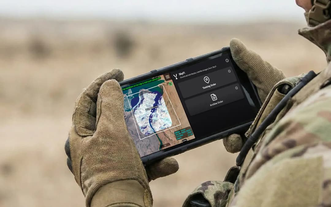
Military & Defense
Defense and security teams use SkyFi to turn satellite imagery and multi-domain sensor data into trusted operational intelligence. Access 150+ satellite sources, apply AI-enabled analytics, and deliver high-fidelity insights directly into COP systems and ATAK for faster, mission-ready decision-making.
Learn More