SkyFi Analytics: Unlocking the Power of Geospatial Insights
TL;DR (Too Long; Didn’t Read)
SkyFi Analytics is a platform that transforms geospatial data into actionable insights for businesses and organizations.
It provides tools to analyze the past, monitor the present, and plan for the future using advanced satellite imagery and analytics.
This technology supports industries such as agriculture, disaster management, real estate, and mining.
By offering affordable, user-friendly solutions, SkyFi Analytics enables data-driven decision-making and operational efficiency.
The article covers what SkyFi Analytics is, its importance, how it works, and how businesses can implement it effectively.
What is SkyFi Analytics?
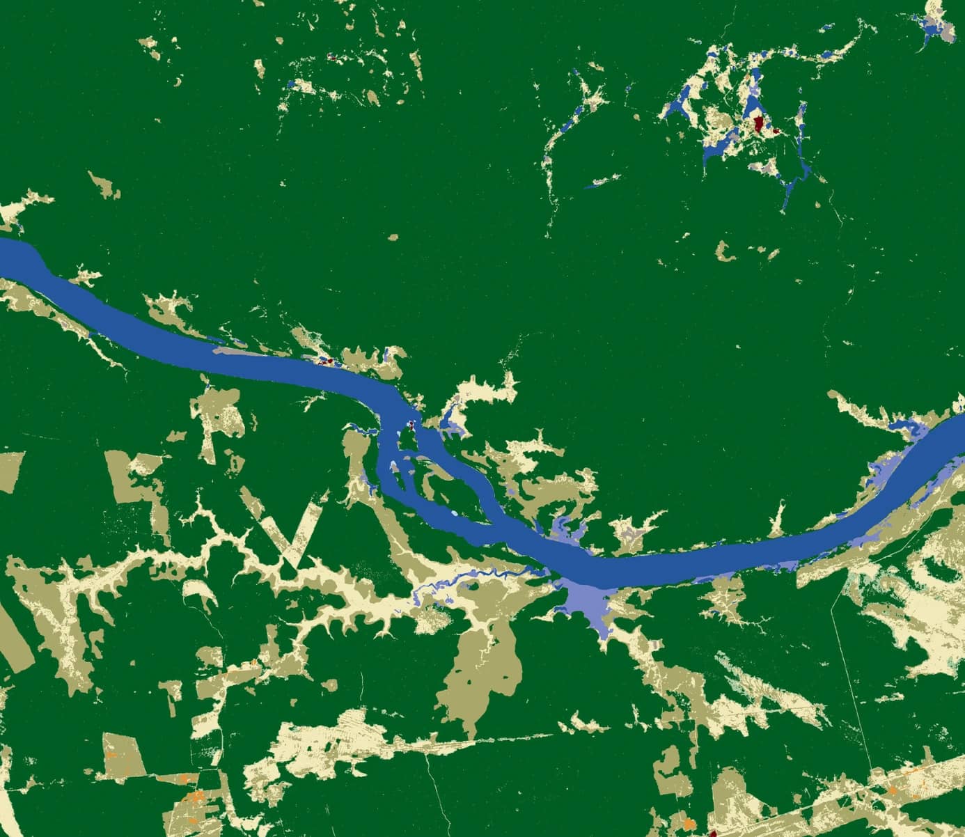
SkyFi Analytics is a cutting-edge platform designed to simplify the complexities of geospatial data analysis. It processes satellite imagery and converts it into actionable insights that support decision-making across various industries. The platform provides tools for object detection, change monitoring, material analysis, and topographic modeling, making geospatial insights accessible to a broad audience.
What sets SkyFi Analytics apart is its emphasis on delivering tailored solutions. Whether used in agriculture to assess crop health or in disaster management to evaluate damage, the platform adapts to meet specific needs. By integrating advanced analytics with an intuitive interface, SkyFi Analytics bridges the gap between raw satellite data and practical applications.
Why is SkyFi Analytics Important?
In a world driven by data, the ability to understand and act on geospatial information has become increasingly critical. SkyFi Analytics addresses this need by offering near real-time insights that enable businesses and organizations to make informed decisions quickly. For example, urban planners can monitor land use changes, while disaster response teams can assess damage and coordinate recovery efforts.
The platform’s importance lies in its ability to deliver clarity and precision. By providing actionable insights, SkyFi Analytics helps businesses reduce costs, optimize resources, and minimize risks. Its role in promoting sustainable practices, such as efficient water usage in agriculture, further highlights its value in today’s resource-conscious economy.
How Does SkyFi Analytics Work?
SkyFi Analytics utilizes a network of over 100 satellites and balloons to collect high-resolution images of Earth’s surface. These images are processed using advanced technologies, including machine learning and spectral analysis, to extract meaningful insights. The platform offers a range of data types, such as optical, SAR (Synthetic Aperture Radar), and multispectral images, to cater to diverse use cases.
The data processing workflow involves transforming raw imagery into actionable reports. For instance, users can detect objects, track environmental changes, and analyze material compositions with ease. The platform’s user-friendly interface ensures that technical expertise is not a prerequisite, making it accessible to professionals across industries.
Which Industries Benefit the Most from SkyFi Analytics?
SkyFi Analytics provides value across a variety of sectors by offering tools that address specific challenges:
Agriculture: Farmers can monitor crop health, optimize irrigation, and predict yields using precision data. This leads to smarter resource management and increased profitability.
Disaster Management: The platform enables accurate damage assessment and recovery tracking, helping emergency teams respond effectively to natural disasters.
Real Estate: Urban planners and developers use SkyFi Analytics to monitor land use changes and identify growth opportunities.
Mining: By detecting minerals and mapping geological formations, the platform supports resource exploration and extraction.
Infrastructure: SkyFi Analytics aids in monitoring and maintaining critical infrastructure, such as roads and bridges, ensuring safety and operational efficiency.
Each industry benefits uniquely from the platform’s capabilities, highlighting its versatility and practical applications.
What Challenges Does SkyFi Analytics Help Solve?
Organizations often face challenges in making sense of vast amounts of raw geospatial data. SkyFi Analytics simplifies this by processing and visualizing data in a way that is easy to understand and actionable. This capability addresses a significant barrier to using geospatial insights effectively.
Additionally, many industries struggle with responding to rapid changes, such as natural disasters or shifting market conditions. SkyFi Analytics provides near real-time data, enabling faster decision-making. For smaller businesses, cost can be a barrier to accessing high-quality geospatial analytics. By offering affordable and transparent pricing, SkyFi Analytics makes these insights accessible to organizations of all sizes.
How Can Businesses Implement SkyFi Analytics Efficiently?
Implementing SkyFi Analytics involves a straightforward process that begins with defining business goals. Organizations should start by identifying the specific challenges they aim to address, such as monitoring crop health or analyzing urban growth. With these goals in mind, businesses can explore SkyFi’s catalog of services to select the most relevant analytics tools.
Integrating SkyFi Analytics into existing workflows is essential for maximizing its potential. Businesses can use the platform’s intuitive interface to access insights and incorporate them into decision-making processes. Training teams to interpret data effectively is another critical step in ensuring a smooth implementation.
For those new to geospatial analytics, starting small with a single project is advisable. As businesses observe the value of these insights, they can scale their use of the platform to cover additional areas of operation.
What Are the Costs and ROI of Using SkyFi Analytics?
SkyFi Analytics is known for its affordability and transparent pricing. A single high-resolution image starts at $25, while analytics services begin at $5. Custom solutions are also available to meet specific requirements. These pricing options make the platform accessible to businesses of all sizes.
The return on investment (ROI) from SkyFi Analytics can be significant. By providing actionable insights, the platform helps organizations reduce operational costs, improve resource allocation, and enhance decision-making. For instance, farmers using the platform have reported increased yields, while urban developers have minimized project delays. The combination of affordability and high ROI makes SkyFi Analytics an excellent choice for organizations seeking to harness the power of geospatial data.
How to Get Started with SkyFi Analytics?
Getting started with SkyFi Analytics is a simple and efficient process. Unlike many platforms, it does not require a subscription. Users can browse the extensive archive of satellite imagery or task a satellite for new data based on their specific needs. The platform’s intuitive design allows users to add products to their cart and complete their purchase with ease.
Once an order is placed, data is delivered directly to the user’s SkyFi account and email. The platform also provides customer support and educational resources to help users maximize its potential. Whether an organization is exploring geospatial analytics for the first time or expanding its existing capabilities, SkyFi Analytics offers the tools and guidance needed to succeed.
SkyFi Analytics is revolutionizing the way organizations leverage geospatial data. By simplifying complex analytics and delivering actionable insights, it empowers businesses to make informed decisions and achieve their goals efficiently. With its affordability, user-friendly interface, and versatility, SkyFi Analytics is a valuable tool for industries ranging from agriculture to disaster management.
Organizations looking to unlock the potential of geospatial insights can benefit from exploring SkyFi Analytics. Its ability to provide real-time data, tailored solutions, and significant ROI makes it a leading choice in the field of geospatial technology. Learn more about how SkyFi Analytics can transform your decision-making process and drive success.