
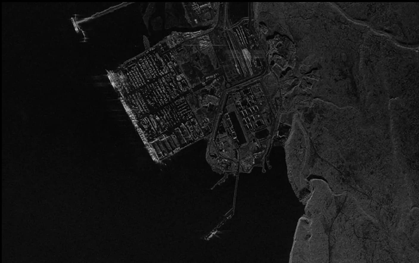
Data from Vantor
Basemaps
Seamless, color-balanced satellite imagery basemaps at 15 cm and 30 cm resolution. A visually consistent, high-accuracy foundation layer for mapping, visualization, planning, and analysis. Perfect for municipal scale to global landmass coverage. Available on the SkyFi platform. Custom orders are also available for advanced customer-defined areas of interest.
Municipal Planning & Governance:
- Provide city planners with current, high-resolution imagery for zoning decisions, permit review, and land use management.
- Extract building footprints and road features at scale to support property tax assessment and code enforcement.
- Enable public-facing mapping portals with a visually consistent, up-to-date imagery backdrop.
National Mapping Programs:
- Deliver seamless 30 cm basemap coverage for national mapping agencies and cadastral systems.
- Update maps with imagery refreshed across 50M+ sq km annually.
- Support census operations, boundary delineation, and rural development planning with consistent coverage.
GIS & Enterprise Workflows:
- Serve as the visual base layer in ArcGIS, QGIS, and enterprise GIS environments for overlaying analytics and operational data.
- Provide geographic context for change detection, asset tracking, and facility management across large portfolios.
Infrastructure Monitoring
- Establish baseline imagery for pre-construction site assessment and progress documentation.
- Monitor widespread change over time with imagery refreshed continually throughout the year.
- Support due diligence with current visual reference of parcels, access routes, and surrounding context at 15 cm detail.
Vantor
DATA SOURCE:Vantor Vivid Mosaic
RESOLUTION:15 cm HD
30 cm
30 cm HD
50 cm
1 m (Available Upon Request)
2 m (Available Upon Request)
ACCURACY:< 5 m CE90
SPECTRAL BANDS:3-band RGB or 4-band BGRN
IMAGE FRESHNESS:Refreshed within 12 months
COVERAGEGlobal landmass, excluding Antarctica

SkyFi integrates diverse geospatial data sources to give you the most up-to-date, detailed understanding of the landscapes shaping our future.
Industries
From agriculture to urban planning, environmental monitoring to disaster response, our platform provides essential data for informed decision-making across various sectors.
Swipe to see more
25.00 km
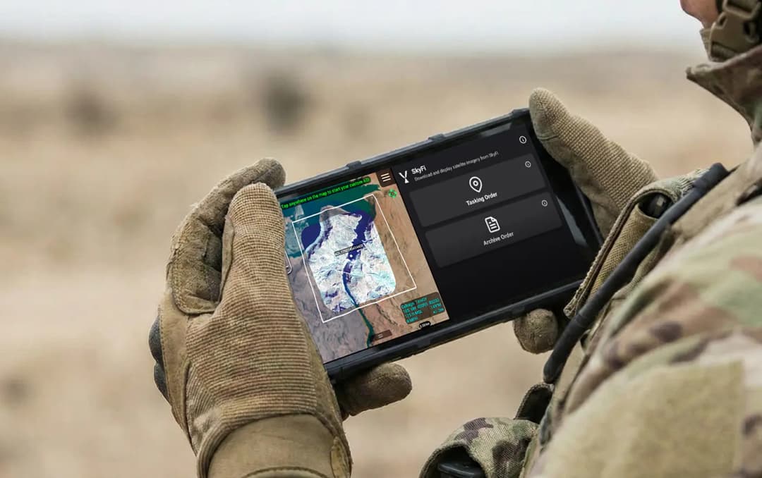
Military & Defense
Defense and security teams use SkyFi to turn satellite imagery and multi-domain sensor data into trusted operational intelligence. Access 150+ satellite sources, apply AI-enabled analytics, and deliver high-fidelity insights directly into COP systems and ATAK for faster, mission-ready decision-making.
Learn More