
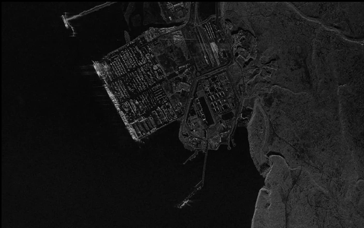
10m Satellite Derived Bathymetry
The 10m resolution Satellite Derived Bathymetry offers a precise, remotely sensed map of shallow seabeds, ideal for coastal and nearshore analysis. Leveraging satellite imagery, this product captures fine-scale underwater features, with depths measurable to 20-30 meters under optimal conditions. It eliminates the need for expensive equipment mobilization, making it an efficient and environmentally friendly solution. The high resolution supports critical industries needing detailed bathymetric data for project planning, environmental conservation, and hazard assessments.
Coastal Conservation:
- Map the coral reefs to monitor biodiversity.
- Protect seagrass meadows as blue carbon sinks.
- Identify erosion-prone areas for restoration projects.
Infrastructure Development:
- Optimize underwater cable and pipeline placement.
- Plan sustainable coastal development projects.
- Assess site conditions for renewable energy systems.
Disaster Recovery:
- Monitor post-hurricane changes to see events.
- Support safe navigation for relief efforts.
- Model settlement shifts from storm activity.
Marine Tourism:
- Plan diving and snorkeling destinations.
- Create safe navigation maps for tourist operators.
- Support eco-tourism initiatives with detailed seedbed maps.
SkyFi integrates diverse geospatial data sources to give you the most up-to-date, detailed understanding of the landscapes shaping our future.
Industries
From agriculture to urban planning, environmental monitoring to disaster response, our platform provides essential data for informed decision-making across various sectors.
Swipe to see more
25.00 km
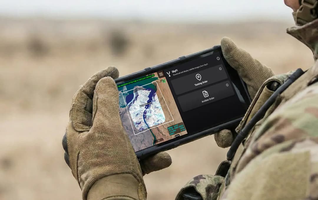
Military & Defense
Defense and security teams use SkyFi to turn satellite imagery and multi-domain sensor data into trusted operational intelligence. Access 150+ satellite sources, apply AI-enabled analytics, and deliver high-fidelity insights directly into COP systems and ATAK for faster, mission-ready decision-making.
Learn More