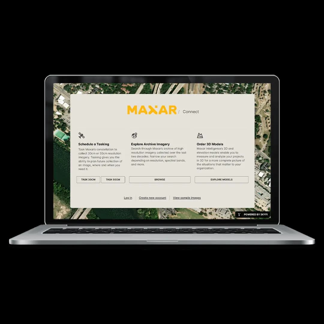
maxar connect image
maxar logo
/ Connect
Premium satellite tasking, archival imagery & on‑demand 3D models through Maxar’s secure interface, powered by SkyFi.
PAY AS YOU GO
Order Maxar imagery without a subscription or minimum spend. This platform was built for government users, researchers, and small teams who need access to high-resolution satellite imagery. Select what you need, submit an order, and only pay for that specific use.
SELF-SERVE ACCESS
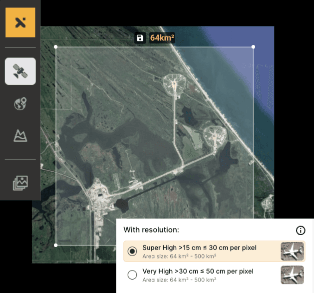
With just a few clicks, you can request imagery from Maxar’s archive or initiate a new tasking collection. Once captured, the data is delivered directly to your email. Orders are also available under "My Orders" inside the platform.
BUILT FOR MISSIONS
  • Map disaster zones for rapid response
  • Track construction at remote facilities
  • Analyze terrain for field planning
  • Monitor site activity over time

Bringing Maxar’s Imagery to More Missions

Maxar Connect makes it easier to request new imagery, browse archive data, or order 3D models. It runs on SkyFi’s platform, giving you transparent ordering, fast approvals, and a simplified way to access Maxar’s world-class data.

Ways to Access Maxar Data

info_image

Request New Imagery

Order fresh satellite imagery at 30 cm or 50 cm resolution. Choose your area, time window, and weather conditions.

Features:

  • Plan image capture by location and date
  • Cloud cover filtering for better results
  • Select processing level, bands, and output bit depth

Search the Archive

Browse Maxar’s archive of high-resolution imagery collected over the last 15 years.

Features:

  • Filter by resolution, cloud coverage, and capture date
  • Download only what you need
  • Suitable for civil, academic, or technical use

Order 3D Models

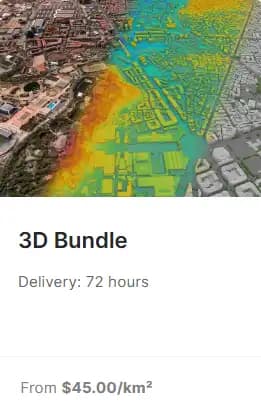
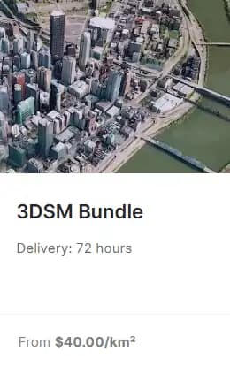
Get 3D terrain, structure, and surface data built from Maxar’s high-resolution satellite imagery. Perfect for planning, modeling, simulation, or environment review.

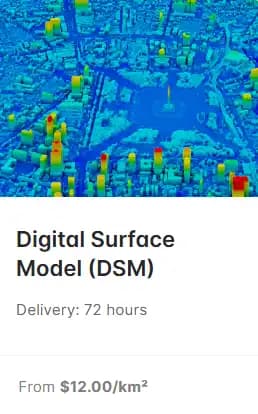
Choose from elevation models, building outlines, vegetation layers, and full 3D bundles – all delivered in standard GIS formats with clear pricing.

Available Products:

  • DSM / DTM / DHM: Elevation and terrain models
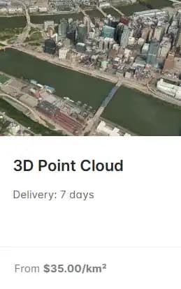
  • 3D Point Cloud: RGB-colored surface data
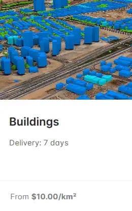
  • Buildings: 3D building footprints and heights
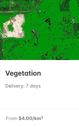
  • Vegetation: Tree and canopy models
  • 3D Bundles: Combined formats for full coverage

Models are available in widely supported 3D formats (3D Tiles, i3s, collada, and more).
maxar product 0 image
maxar product 1 image
maxar product 2 image
maxar product 3 image
maxar product 4 image
maxar product 5 image
Get started now