New: Rowan, your AI navigator for Earth observation.Find, compare, and order satellite imagery faster

Rowan

Your AI Navigator for Earth Observation

Tell Rowan what you need in plain language. It finds the right imagery, recommends suitable analytics, sets up tasking, and works across your existing SkyFi resources to move the workflow forward.
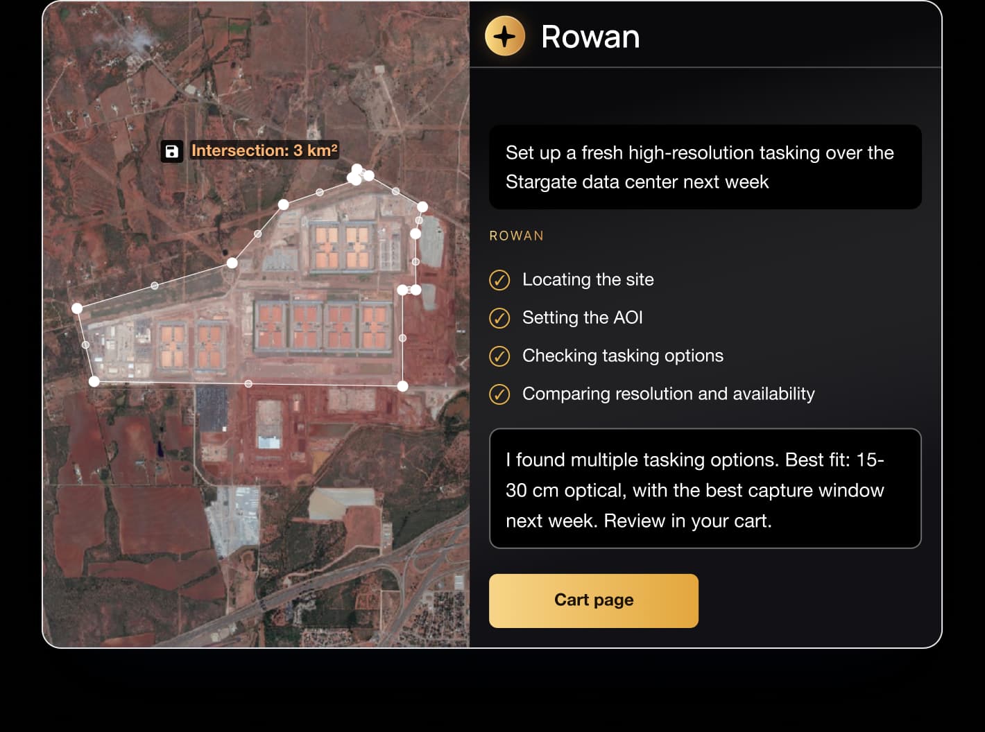
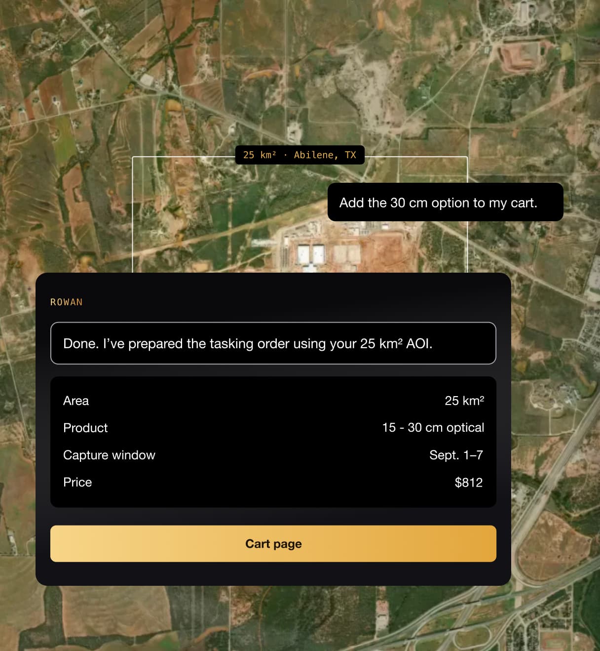
Rowan setting up a satellite tasking order over an area of interest

Trusted by 10,000+ companies worldwide to monitor, plan, and respond.

How Rowan works

Ask for what you need. Rowan handles the rest.

Describe the location, timeframe, or result you need, and Rowan translates it into the right SkyFi workflow. You do not need to start with a satellite, sensor, resolution, or product name.

Try Rowan
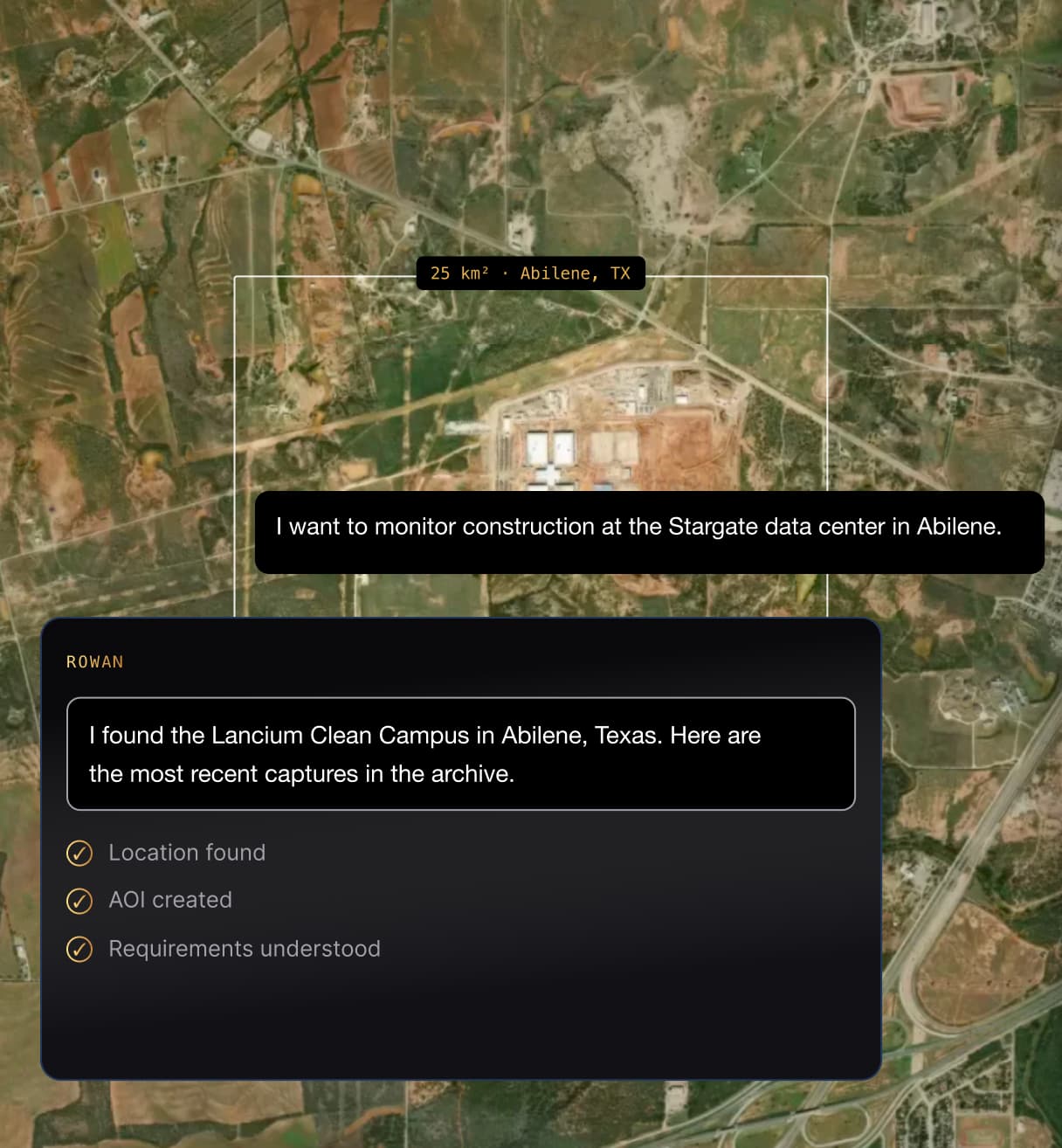
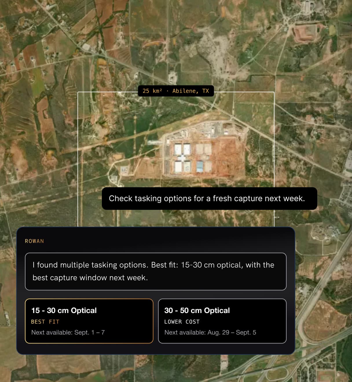
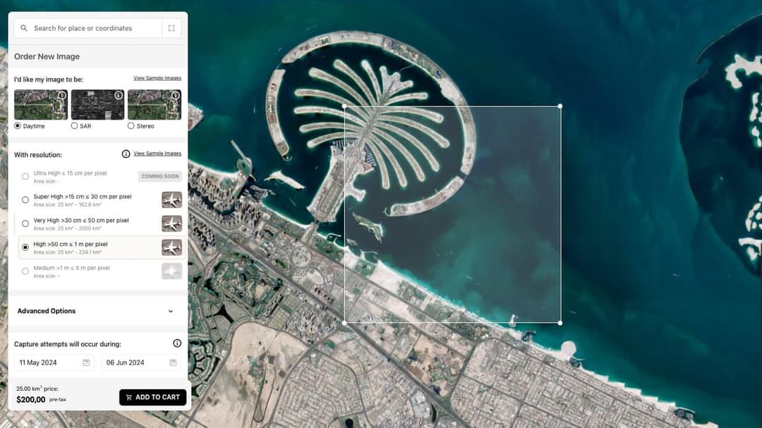
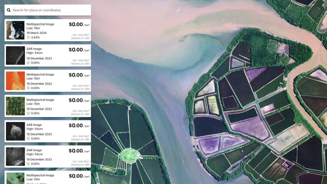
Rowan searching the satellite imagery archive from a plain-language requestRowan comparing tasking resolution and capture-window optionsRowan preparing a tasking order with area, product, and price details ready for the cart

Ask

Start with what you need

Describe the location, timeframe, or objective in plain language. Rowan turns the request into the technical requirements needed to start the workflow.

Decide

Find the right data

Rowan searches suitable imagery, tasking options, and SkyFi analytics, then surfaces the options that best fit the request.

Act

Move the workflow forward

Ask Rowan to prepare the next step, whether that means configuring tasking, selecting an analytic, finding something you already own, or preparing imagery for purchase.

For analysts and teams

Start with the question, not the satellite.

Rowan helps teams turn real-world requirements into the imagery, products, and SkyFi workflows needed to answer them.
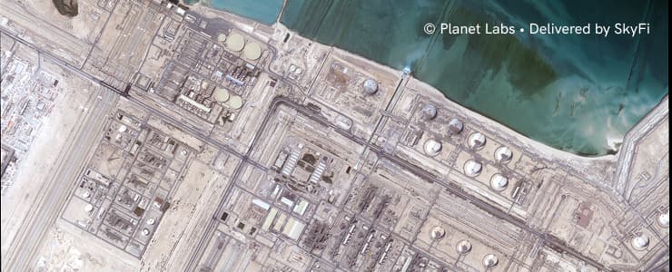
Planet Labs satellite imagery of a coastal industrial site, credited to Planet Labs, delivered by SkyFi

Track physical activity behind public companies

Follow construction and expansion at facilities such as data centers, factories, fulfillment hubs, and other strategic sites.

Find recent imagery of Ras Laffan and show me options for a fresh capture next month.

Rowan workflow

Locate site → Set AOI → Search archive → Compare tasking → Prepare order
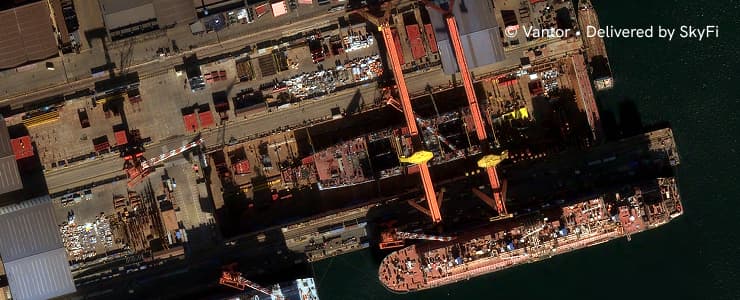
Vantor satellite imagery of a shipyard facility, credited to Vantor, delivered by SkyFi

Get the right imagery for critical sites

Move from a project location or monitoring requirement to suitable imagery without manually researching every provider, sensor, and resolution.

Find high-resolution imagery over Dalian Shipyard from the last 60 days.

Rowan workflow

Search existing imagery → Evaluate coverage → Check tasking → Compare options
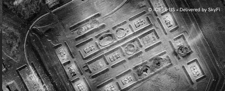
ICEYE US SAR satellite imagery of a facility, credited to ICEYE US, delivered by SkyFi

Spend less time navigating products and past orders

Find existing imagery, saved areas, previous orders, analytics, and new acquisition options from one conversation.

Find my previous orders over the “Russian Site A” AOI and tell me if I already have recent imagery.

Rowan workflow

Find AOI → Search account resources → Surface existing imagery → Recommend next step

Why Rowan

An AI navigator that works inside the platform.

Rowan works across SkyFi enabling you to access the world’s largest virtual satellite constellation and turn geospatial data into decision-ready answers. Rowan is your own AI-navigator for Earth intelligence.

Try now
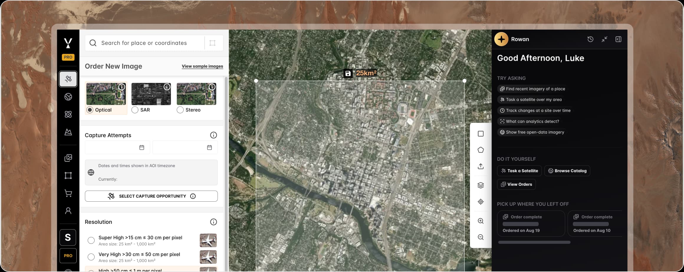
Rowan's chat panel alongside the SkyFi platform's imagery ordering and map tools

Understands the request

Start with the outcome, location, timeframe, or requirement.

Knows your SkyFi resources

Work with saved AOIs, previous orders, delivered imagery, and cart details.

Navigates product complexity

Find relevant imagery, tasking options, resolutions, sensors, and analytics.

Keeps decisions visible

Review technical choices, pricing, and purchase details before moving forward.

FAQ

Rowan frequently asked questions

Rowan is SkyFi's native AI navigator for Earth observation, built into the platform so that a plain-language question about any location becomes a complete imagery workflow. A request names the place, the timeframe, or the outcome, and Rowan turns it into the technical requirements an order needs, including an area of interest, a date range, a product type, and a resolution class. From there Rowan searches the archive, compares tasking options, recommends suitable analytics, and prepares the order for review. No satellite jargon, GIS software, or remote sensing background is required at any point in that sequence.

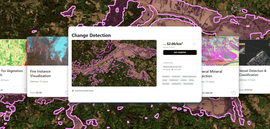
Rowan draws on the full set of analytics available in the SkyFi platform, which includes object detection and classification for counting buildings, vehicles, and vessels, change over time monitoring for before-and-after comparison of a site, material detection through spectral analysis, vegetation and water indices such as NDVI and NDWI, and topographic models. Rowan recommends the analytic that fits the stated objective rather than requiring a user to know which one applies, confirms the capture it should run against, and prepares it alongside the imagery in the same conversation, so there is no separate tool to open and no second workflow to learn.

Rowan searches the SkyFi archive of past captures across more than 300 satellite and aerial sources, and it searches the imagery an account already owns, so a scene that has already been purchased is not bought a second time. When existing coverage falls short of the area of interest, Rowan identifies the part that is missing and compares new tasking options to fill it, weighing resolution, capture window, and provider against what the request calls for. Cloud-cover forecasts for each candidate window form part of that comparison, which is what separates a usable capture from a paid image of cloud.

Rowan carries out multi-step geospatial work inside a single conversation, resolving an area of interest, searching the archive, checking what the account already holds, comparing tasking windows, and preparing an order with analytics attached, without a handoff to a different tool at each stage. Enterprise and government teams run the same workflow, shaped by SkyFi's experience supporting operational customers in both sectors, and the platform is available in self-serve and secure deployments to match the environment a team works in. Oversight stays with the operator, because Rowan recommends and prepares while the account holder confirms every purchase.

Rowan removes the expertise barrier by asking for the things that actually decide an order and translating the answers into a workflow. Rather than expecting a user to name a sensor or a resolution class, Rowan asks what the imagery needs to show, how often the location should be revisited, and what budget applies, then matches those answers to suitable archive captures, tasking windows, and analytics. Pricing and technical choices stay visible at each step, so the reasoning behind a recommendation can be reviewed and changed before anything is ordered.

More SkyFi Products

product Analytics
Starting at $5

Analytics

Transform raw images and datasets into real answers with SkyFi Analytics. Our platform delivers pivotal insights across industries with advanced tools like object detection, hyperspectral signature analysis, and commodity stockpile measurement, empowering you to optimize operations and strategic planning.
product Commercial Imagery
Starting at $15

Commercial Imagery

Task a satellite to capture an image in the future of your area of interest in just a few clicks, set up recurring orders, and purchase existing images from our vast archive of data.
product Open Data
Available for FREE

Open Data

SkyFi's open data program provides comprehensive, free satellite data to broaden analytics use cases and provide crucial data for agriculture, urban planning, and disaster management.
product Vantor

Vantor

On-demand access to Vantor’s WorldView constellation, global basemaps, and 3D terrain models directly on SkyFi. Task new imagery and explore the world in unmatched detail.
product Vantor Connect

Vantor Connect

On-demand access to Vantor’s full constellation and 3D models through Vantor Connect, powered by SkyFi. Schedule new Vantor tasking at 30 cm or 50 cm resolution, browse decades of Vantor archive imagery, or order Vantor 3D models to measure and visualize change with unmatched clarity. Designed for mission-critical workflows that demand precision and speed.
product Maritime AIS Data

Maritime AIS Data

Track global vessel activity with SkyFi’s unified Maritime AIS data. The platform merges satellite, terrestrial, and shipborne AIS feeds to deliver worldwide visibility, anomaly detection, and dark-ship tracking for security, logistics, and compliance missions.
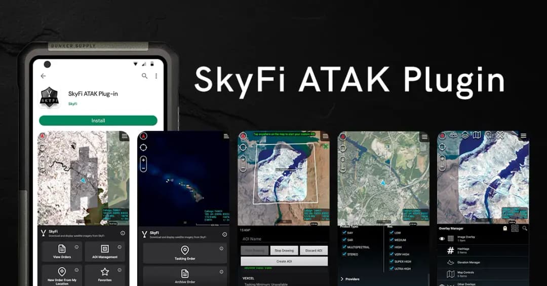
product SkyFi Plugin for ATAK

SkyFi Plugin for ATAK

Access satellite imagery with SkyFi's ATAK Plugin, which enables live tasking and analytics, giving field operators real-time situational awareness.
product ICEYE US Direct

ICEYE US Direct

Get direct access to persistent monitoring with real-time SAR intelligence at your fingertips. Explore high-resolution Synthetic Aperture Radar (SAR) imagery on the new ICEYE US self-service platform powered by SkyFi, where you can search the extensive archive or task satellites to simplify acquisition and accelerate decision-making.
product Planet Select

Planet Select

Experience rapid access to the Planet SkySat® constellation for both tasking and archive satellite imagery, powered by SkyFi’s infrastructure. Planet Select lets users monitor high-frequency optical data, order new SkySat captures, and analyze surface changes with ease, ideal for agriculture, infrastructure, and environmental intelligence at scale.
explore-more_image
29º

Ready to move faster?

Explore SkyFi