SkyFi Esri Integration
Satellite imagery, inside your ArcGIS workflow
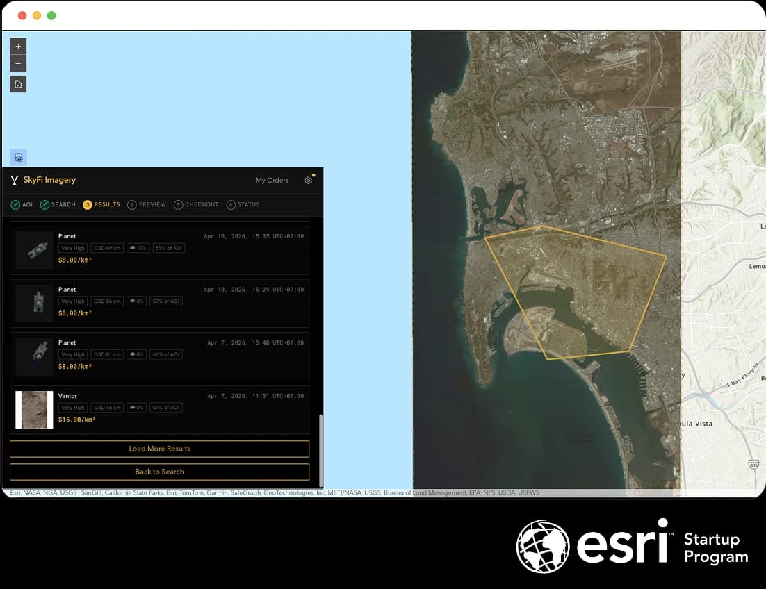
SkyFi connects on-demand satellite imagery to Esri ArcGIS. Stream high-resolution satellite imagery as WMTS layers in any ArcGIS environment, order through the SkyFi ArcGIS widget, or automate the full workflow with the SkyFi API.
 ArcGIS Online
 ArcGIS Pro
 ArcGIS Enterprise
Integration Paths
Bring on-demand Earth intelligence into ArcGIS
SkyFi helps users and teams discover, order, stream, and use satellite imagery and analytics across the Esri ArcGIS ecosystem. From individual GIS workflows to enterprise mapping environments, SkyFi brings imagery access closer to the maps, applications, and decisions your team already works with.
WMTS Streaming
For every ArcGIS user
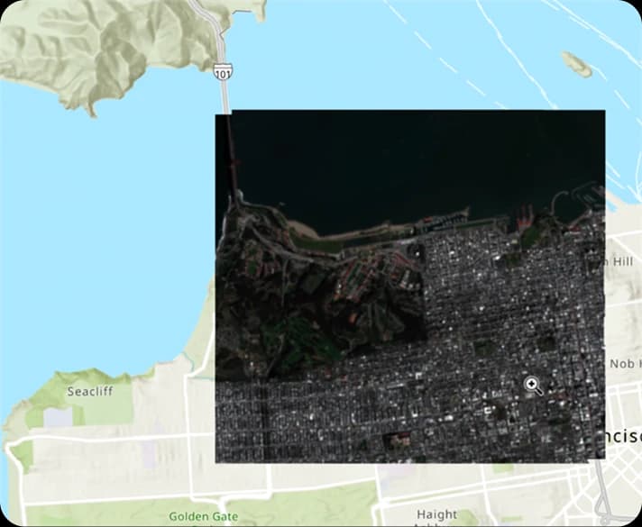
Stream delivered imagery as OGC-compliant tile layers in ArcGIS Pro, Online, and Enterprise. One URL, no downloads.
ArcGIS Widget
For ArcGIS Enterprise organizations
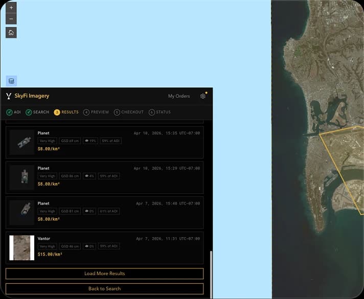
A native widget that embeds archive search, tasking, and ordering directly in Esri Experience Builder applications.
SkyFi API
For developers & data engineers
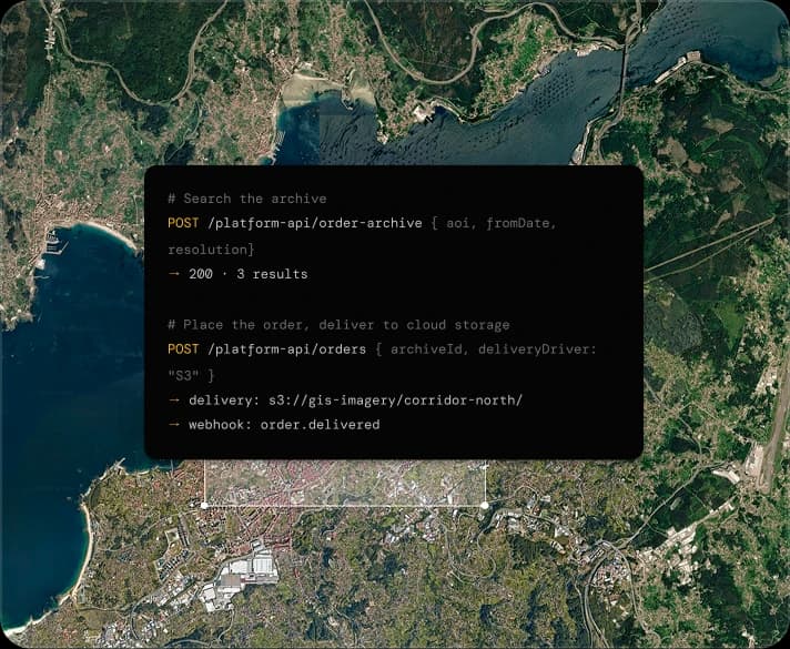
Programmatic access to search, tasking, and order management, with imagery delivered directly to cloud storage.
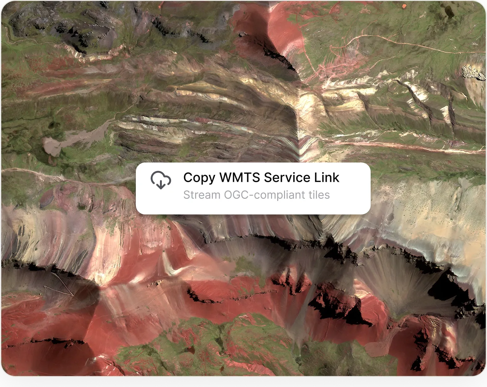
Stream SkyFi orders directly on ArcGIS
Stream your SkyFi imagery and analytics into ArcGIS as live map layers with WMTS. Access ordered assets directly in your GIS without downloading files, re-uploading data, or switching between systems.
Copy
Copy the WMTS Service Link URL from My Orders.
Connect
Add the connection in ArcGIS Online or ArcGIS Pro (Insert → Connections → New WMTS Server), or register once in ArcGIS Enterprise for organization-wide access.
Stream
Delivered images appear as named layers with acquisition date and provider. Tiles load on demand and align with existing project data.
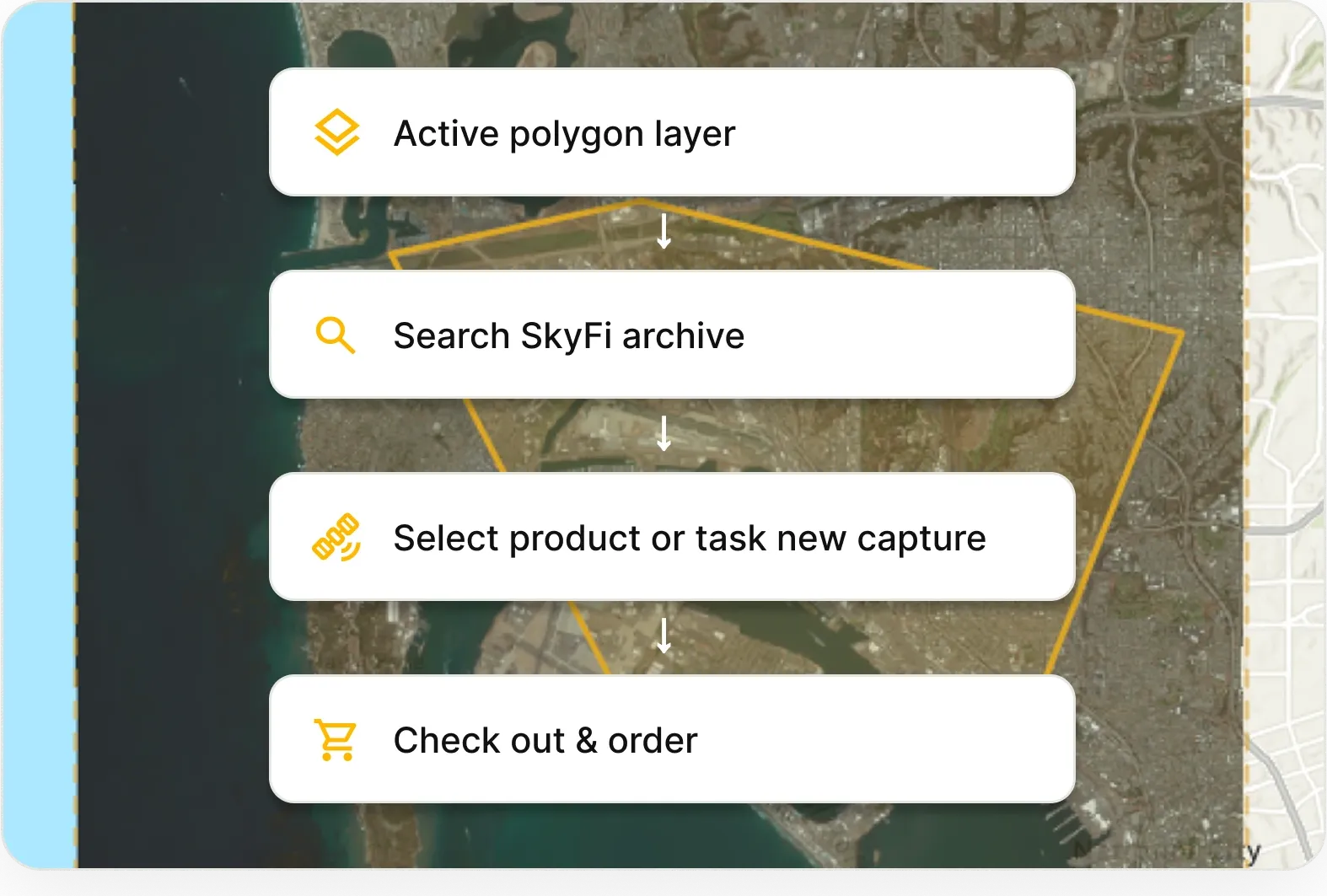
Search, task, and order inside ArcGIS
Search archives, task new captures, upload shapefiles, and order imagery directly from the SkyFi ArcGIS Widget. Keep discovery and ordering closer to the maps where your team already works.
Search from existing layers
Select features from an active polygon layer to define the search area, or import shapefile, WKT, KML, or GeoJSON.
Compare archive results
Filter existing captures across SkyFi's provider network by resolution, capture date, cloud cover, and AOI coverage.
Task a satellite
Request new imagery with a defined capture window when archive coverage is insufficient.
Order with budget visibility
Select a product, review pricing against organizational budgets, and place the order without leaving the application.
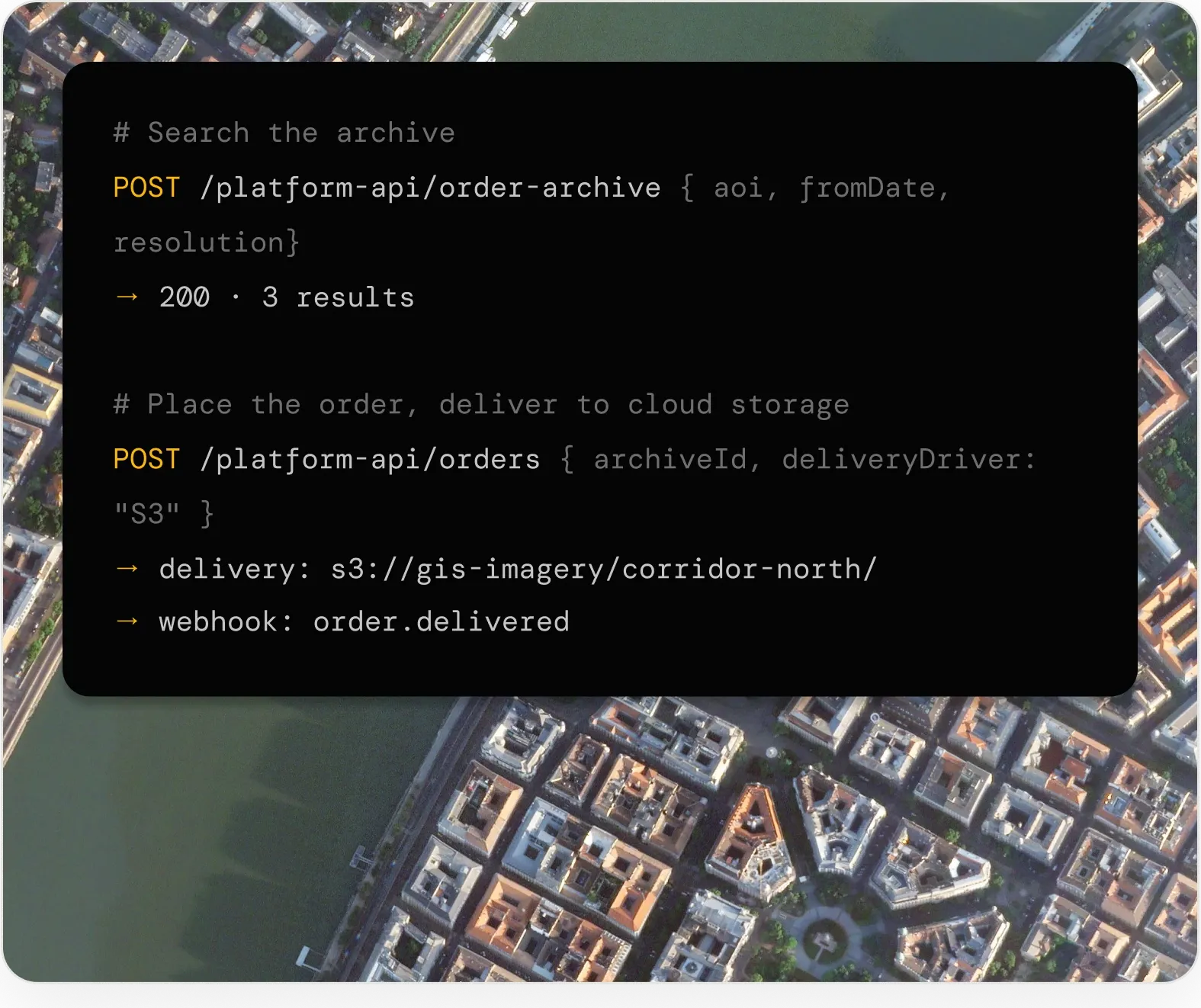
Automate imagery workflows end to end
Build with the SkyFi API to connect imagery, analytics, ordering, and delivery into your own ArcGIS-powered tools. Automate data pipelines, support internal applications, and bring Earth intelligence into the workflows your team depends on.
Search and price programmatically
Query the archive, check tasking feasibility, and retrieve pricing through REST endpoints.
Order and track
Place archive and tasking orders, monitor status, and receive delivery notifications via webhooks.
Deliver to cloud storage
Imagery is delivered directly to AWS S3, Google Cloud Storage, or Azure Blob for enterprise imagery pipelines and ArcGIS ingestion.
Frequently Asked Questions
You can stream live satellite imagery directly into ArcGIS Pro and ArcGIS Online using SkyFi's WMTS service. Just add the WMTS connection URL as a data source. There is no need to download, georeference, or local storage. Fresh, high-resolution imagery loads on demand, so your maps always reflect the latest available captures.
More SkyFi Products
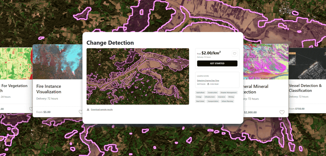
Analytics

Commercial Imagery

Open Data
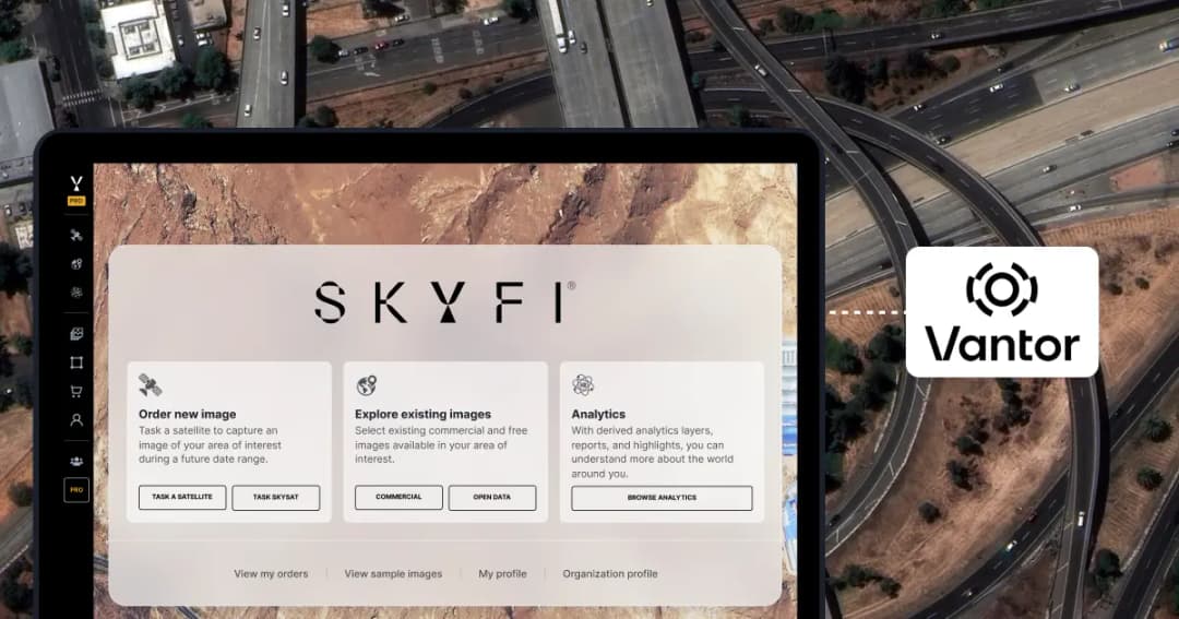
Vantor

Vantor Connect

Maritime AIS Data

SkyFi Plugin for ATAK

ICEYE US Direct